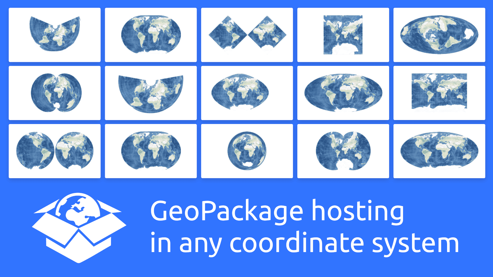
MapTiler Cloud offers map hosting for your own geodata in any coordinate system in GeoPackage format with EPSG coordinate reference system.
Map hosting for geodata in any map projection
Map in any local or global geographic projection can now be hosted on MapTiler Cloud in GeoPackage format.
GeoPackage is an open and interoperable standardized format that can be produced and viewed by many desktop GIS software. Support for raster tiles is implemented according to the standard; vector tile implementation is using the very latest draft of the extension.
Open GeoPackage standard guarantees no vendor lock-in
The new release of MapTiler Desktop 10.2 is able to create and directly upload maps to MapTiler Cloud in any custom tile grid.
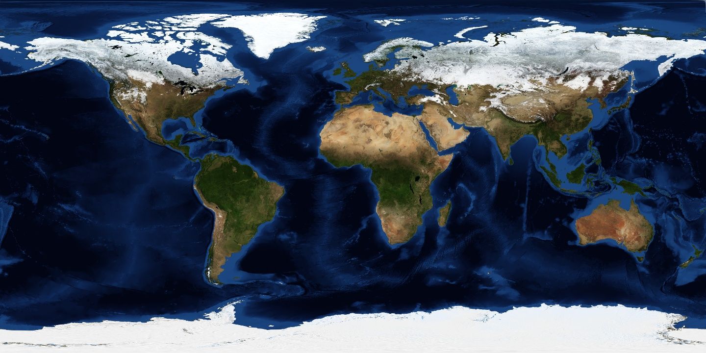 Blue Marble in WGS84
Edit raw data in GeoPackage format
Vector features in GeoPackage format, which are not tiled, can also be uploaded. In this case, MapTiler Cloud will convert them into GeoJSON, and you can edit them using the Vector data editor. 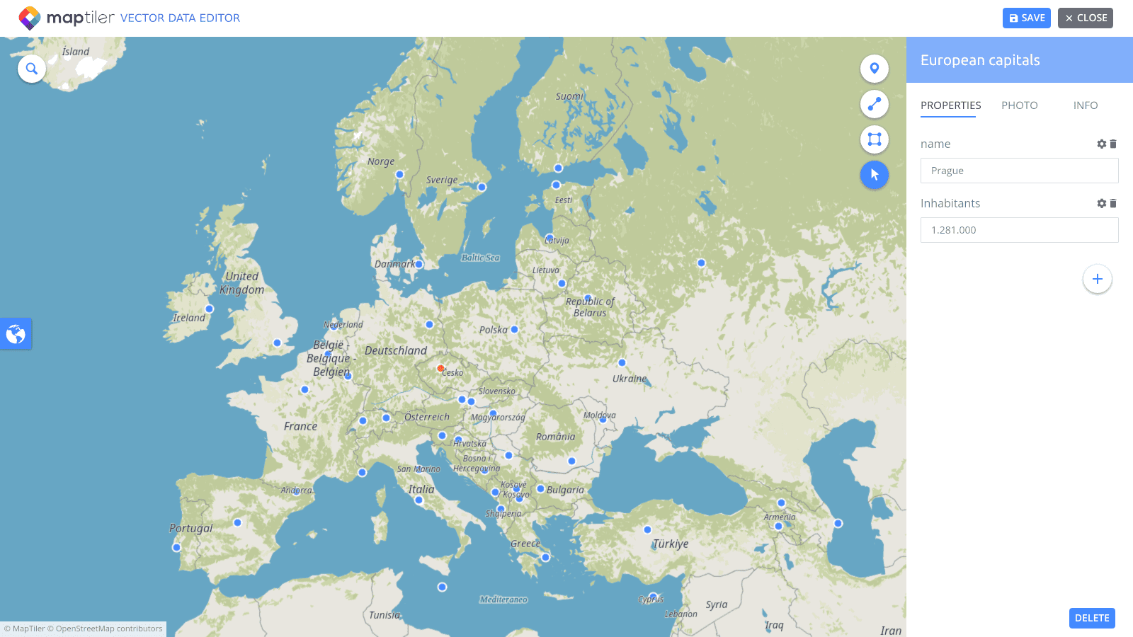
Host your own geodata by creating an account on MapTiler Cloud.