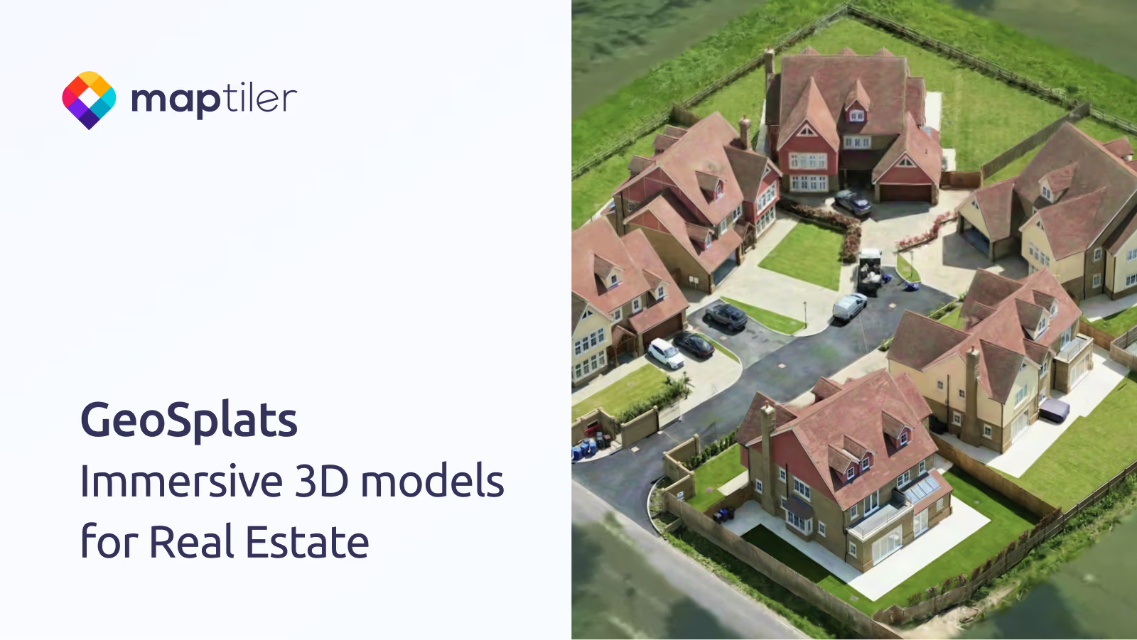
Maps for developers

Visual tools, global data, SDK & APIs for web, mobile,
and enterprise applications.
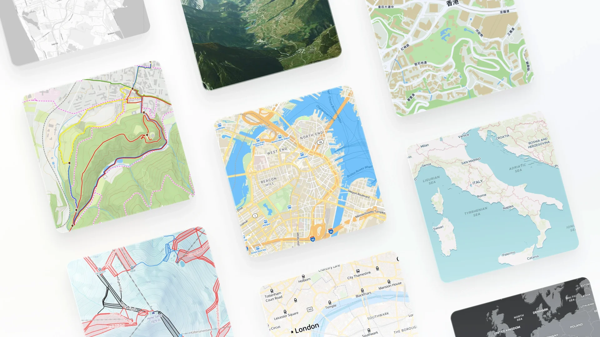
Multiple map styles
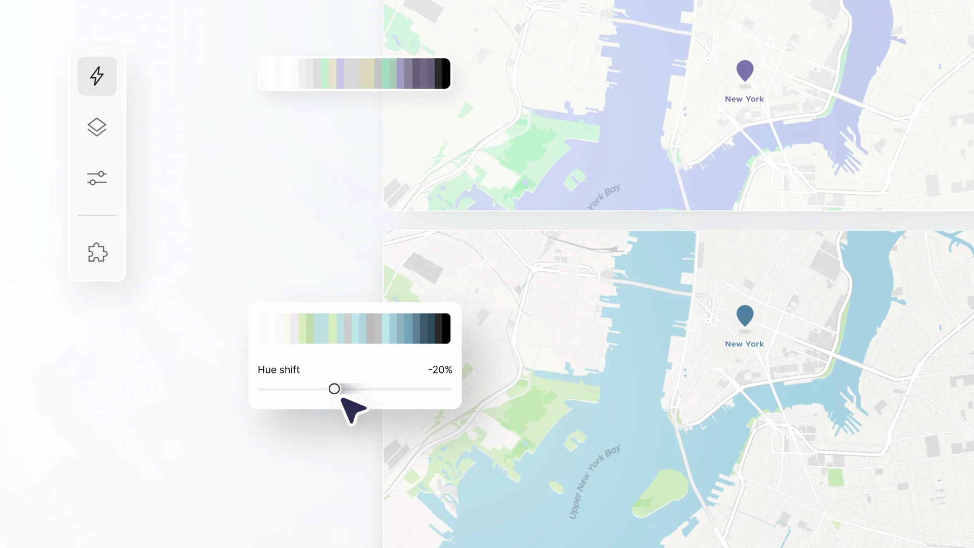
Map being customized changing color
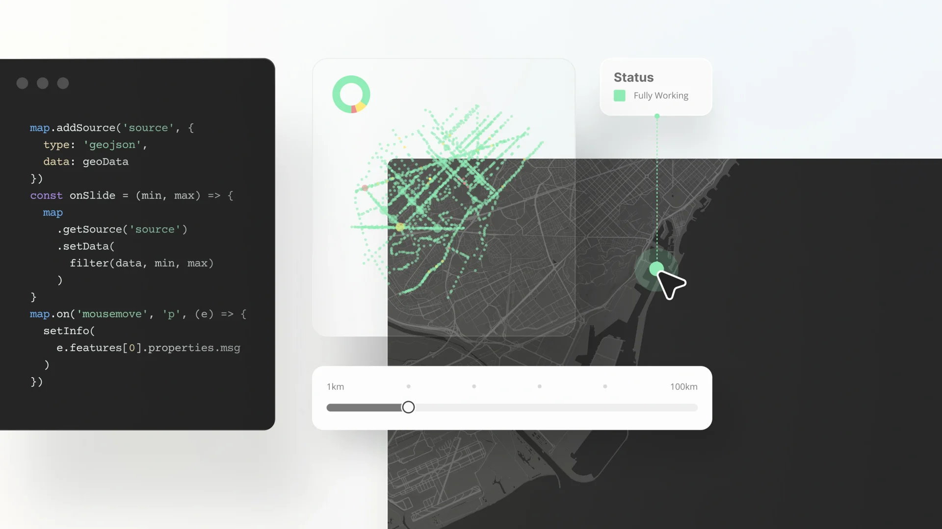
Developer tools build apps
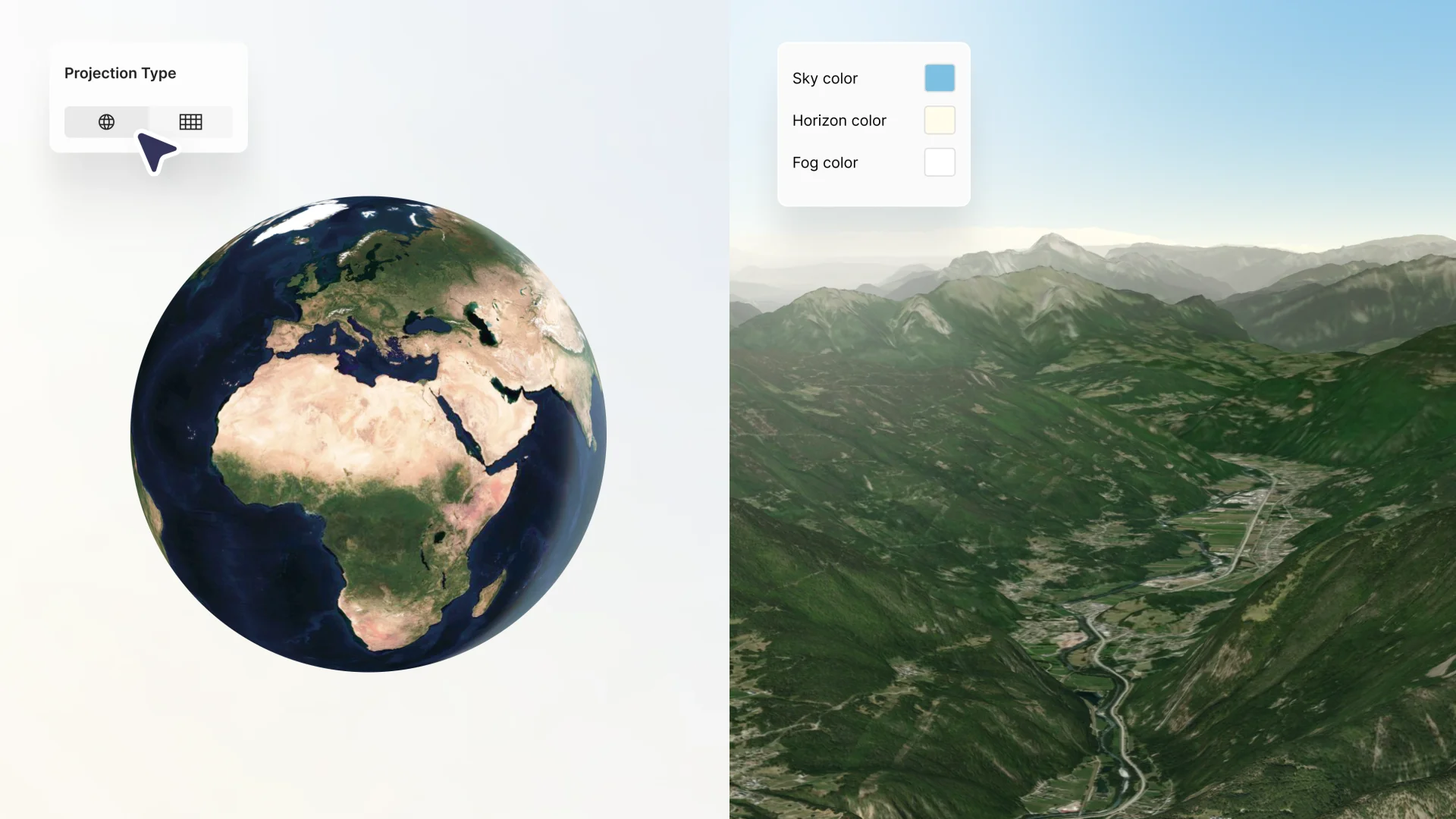
3d globe projection atmosphere adjustments

Trusted by

Siemens is a global technology powerhouse focused on automation, digitalization, and smart infrastructure for manufacturing, buildings, and transportation networks.Oracle is a global technology corporation providing database systems, enterprise software, and cloud infrastructure.Bosch is a leading global engineering and technology company renowned for its high-quality home appliances, automotive components, industrial technology, and power tools.My Switzerland logowetter.com is the biggest weather forecast service in GermanySurfline is a digital media and technology company that provides surfers with live surf cam feeds, real-time wave monitoring, and highly detailed marine weather forecasts.Geocaching is providing a global game where people search for hidden treasures.NOAA using MapTiler for processing their aerial imagerynbcNBC (National Broadcasting Company) is a major American commercial television network and media company that broadcasts a wide array of live news, sports, entertainment, and daytime programmingCisco Systems develops, manufactures, and sells networking hardware, software, telecommunications equipment, and cyber security solutions.

Ready-to-use map styles

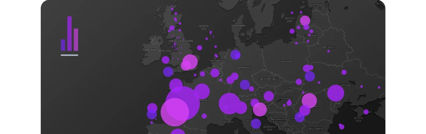
Dataviz map style with default colors

Data visualization
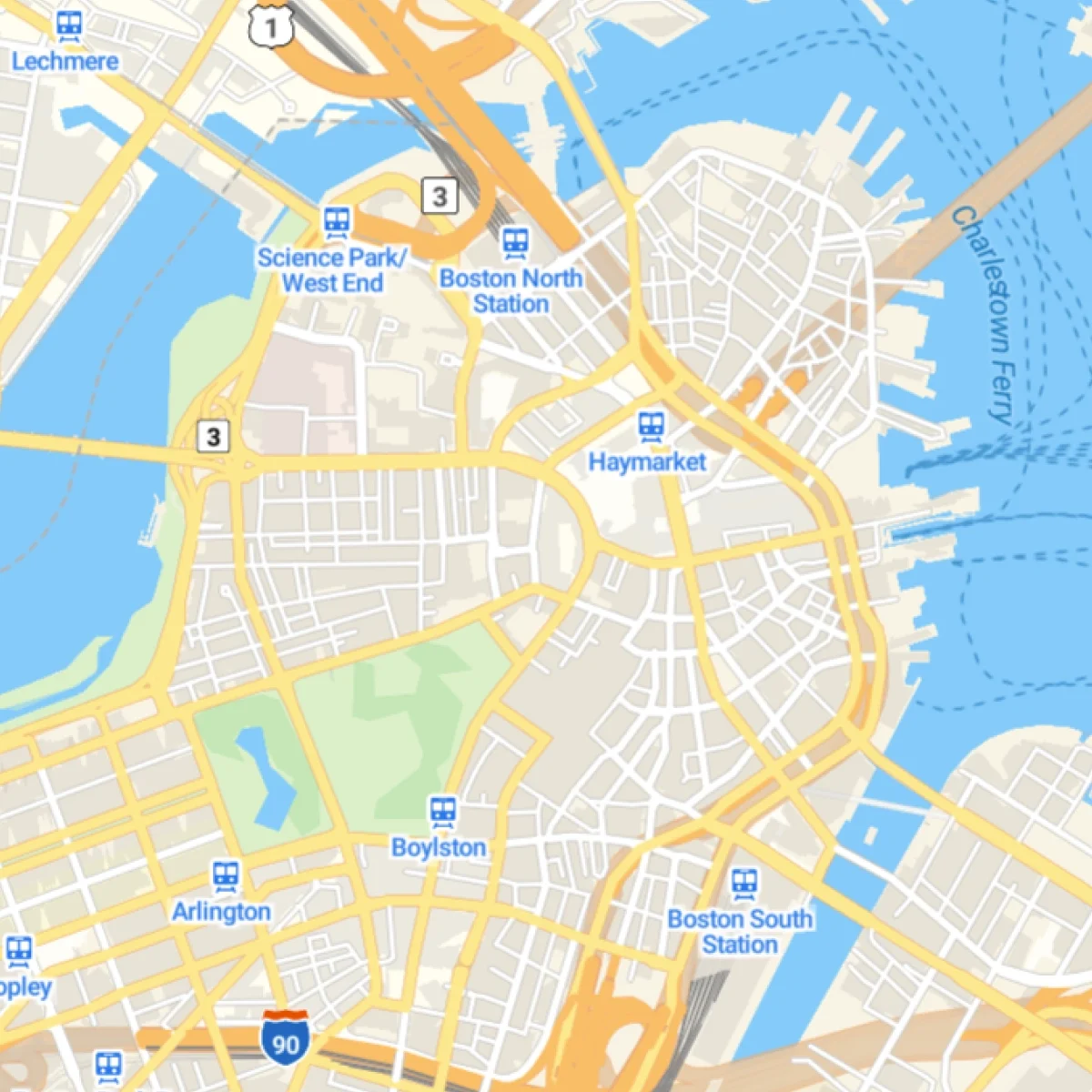
Streets map with road network thumbnail

Streets & transport
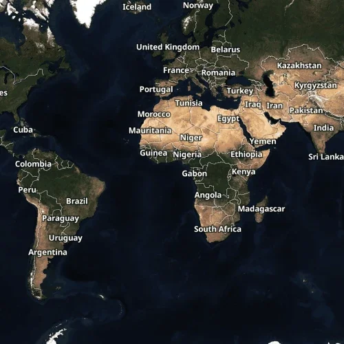
Satellite map with labels

Satellite
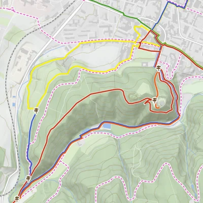
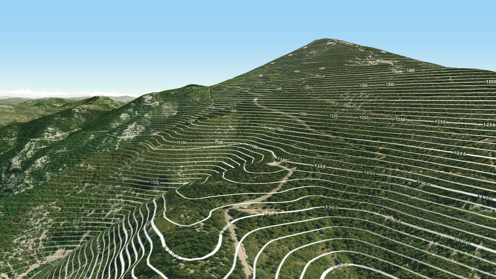
Hiking map with tourist routes and trails

Outdoor & topo

Design custom maps

Craft custom maps for any application that match your vision and your brand.
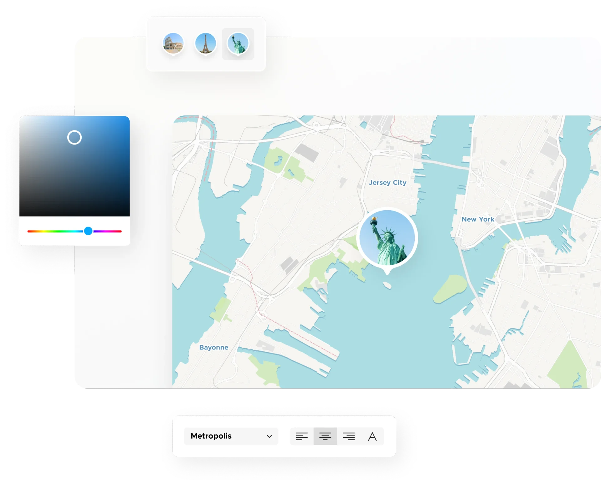
Custom map designer

Build applications

All the tools, samples, and documentation you need to create mapping applications.
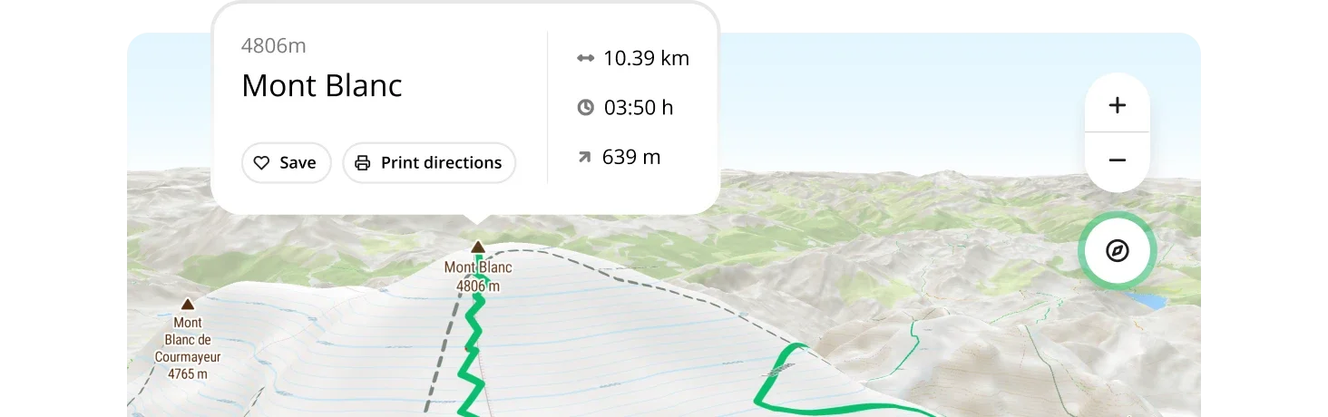
Create interactive maps

Immersive interactivity at your fingertips using our TypeScript SDK.

Visualize your data

Dynamic visualizations and quality basemaps to make your data shine.

Display weather

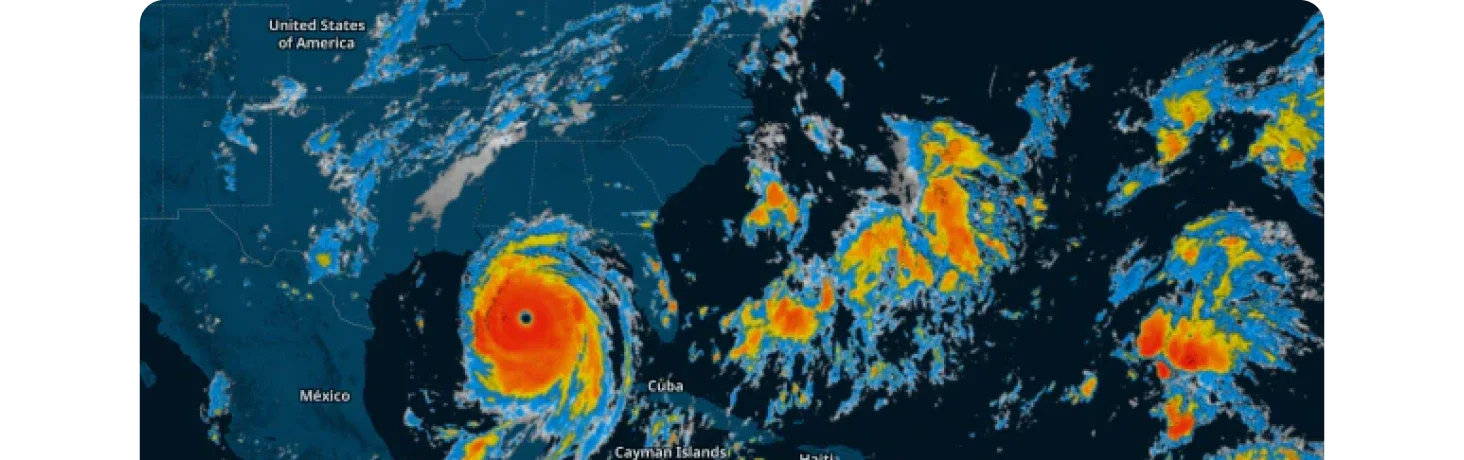
Tools and data layers to create interactive 5-day forecast maps.

Upload your data

Transform your geodata into interactive maps effortlessly. Upload TIFF, GeoJSON, KML, GPX, and more formats to create custom visualizations, analyze spatial patterns, and share insights with your team.

Add your own vector and raster data to your cloud account

Search & location APIs

Add search, geocoding, and location intelligence to your applications. Convert addresses to coordinates, locate users by IP, and more.
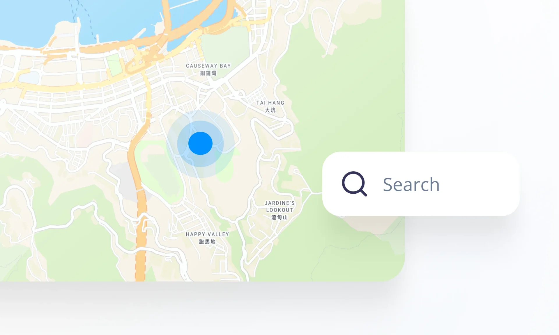
Geocoding & search

Secure on-prem capabilities

Deploy secure self-hosted maps on your premises or offline environment. Process geodata of any size at exceptional speed.
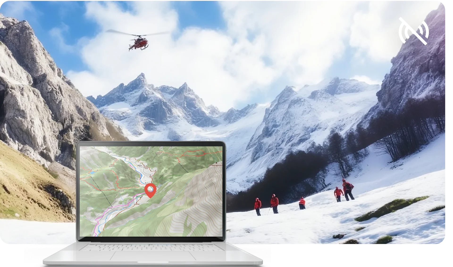
Maps used by the rescue team

Publish anywhere

Use maps on your website and apps, either from our cloud or your on-prem solution.

Flexibility of MapTiler

Cover any use case

Real estate

Help people find a place to live or locate their business.

Maps on mobile for real-estate

Aviation

Build offline maps for infotainment, flight tracking, and planning.
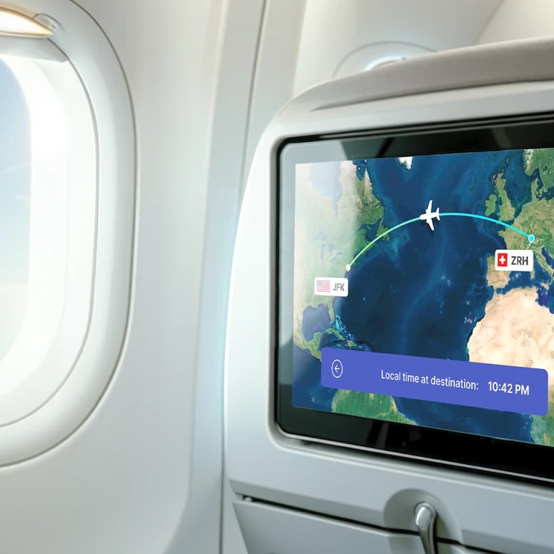
Maps in airplanes infotainment with accurate position

Drones

Create maps from your own drone aerial imagery.
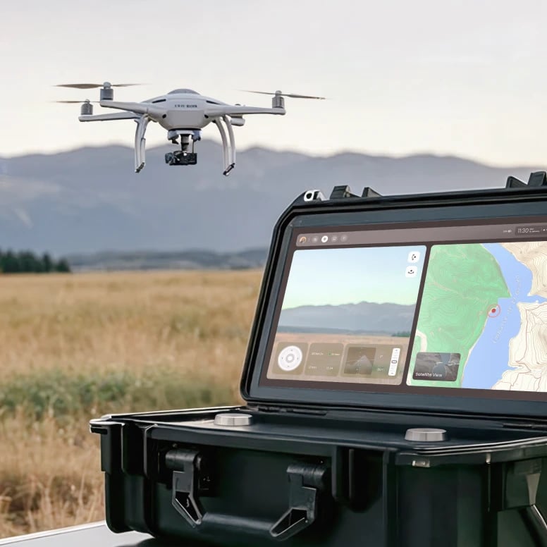
Maps for drones usable in remote areas and offline environment

Logistics

Track containers, farm vehicles, and any other assets in real time.
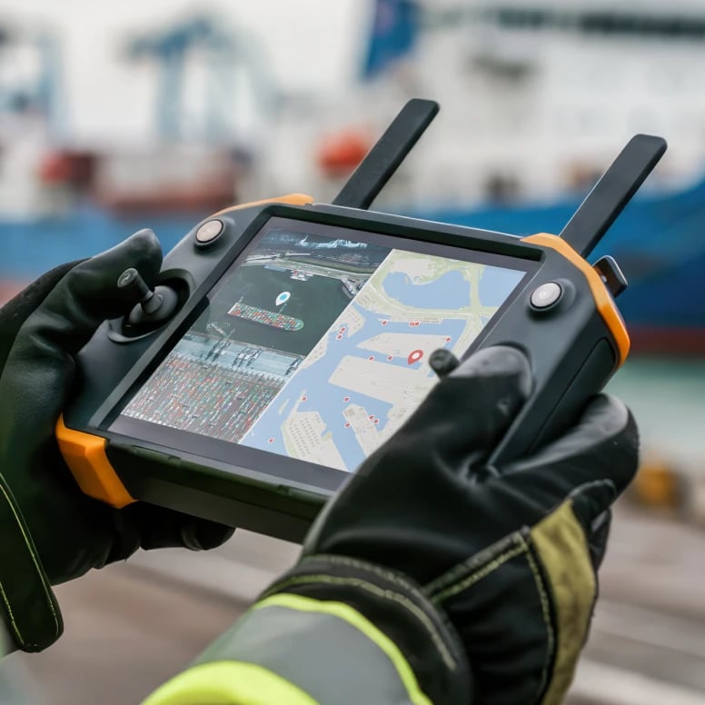
Maps used in logistics

Start mapping

Create a free account, no credit card details needed, or look into our documentation.