March Updates: New Styles & Refined French Addressing
UpdatePublished March 9th, 2026
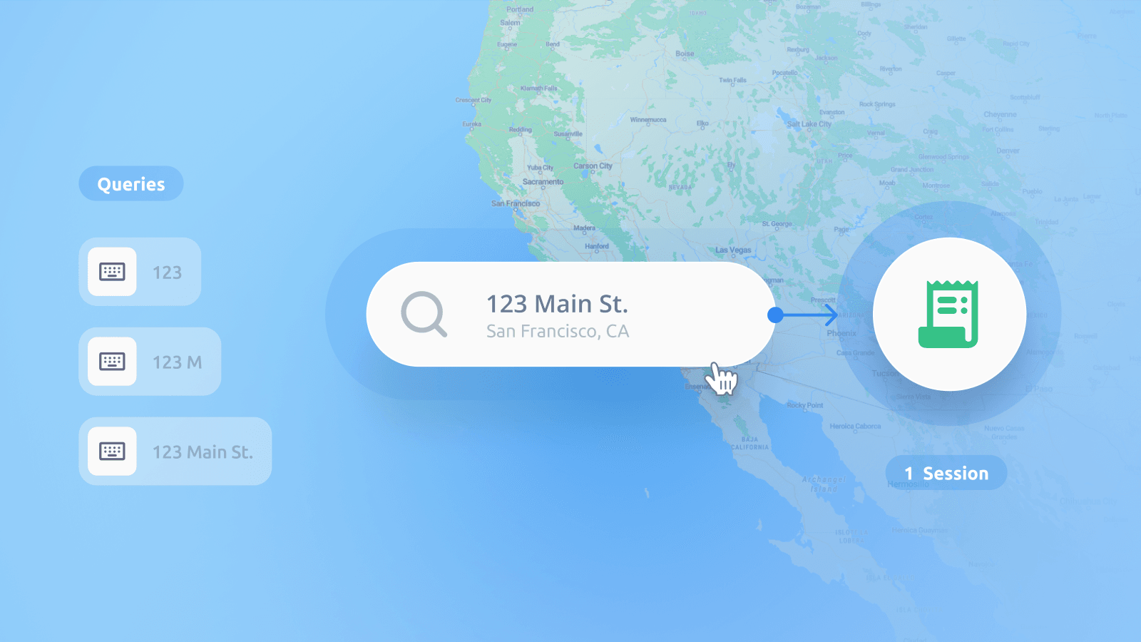
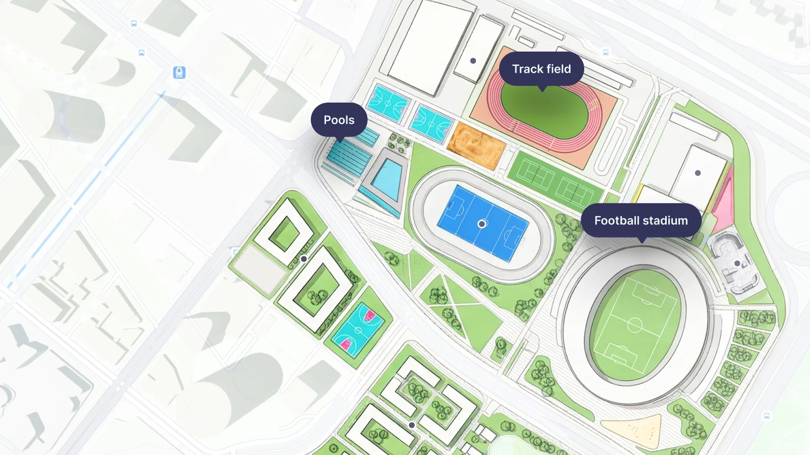
We’ve made a major update to our Map styles, including Satellite, Backdrop, and Aquarelle. We’ve also added over 650,000 new addresses, largely in rural areas of France, to our search and location services.