Map data for self-hosting
Ready-to-use map data packages for secure, self-controlled deployments. Full-scale on-prem solution covering up-to-date vector and raster tiles, styles, and server software.
Host on-prem with Server
Eliminate third-party dependencies with enterprise-grade map data. Deploy comprehensive geospatial packages in your secure environment with full control over privacy, performance, and availability.
Trusted by map developers from:
Browse our maps datasets
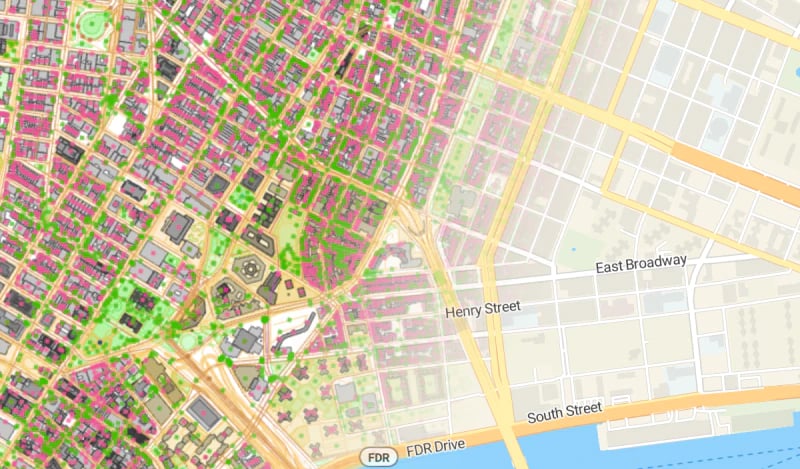
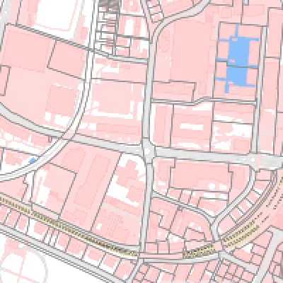
OpenStreetMap basemaps
Map package with a regularly updated global dataset. It contains street data with more than 7 billion objects.
Satellite & orthophoto on-prem
Global seamless satellite and aerial imagery with a resolution locally up to 8cm per pixel.

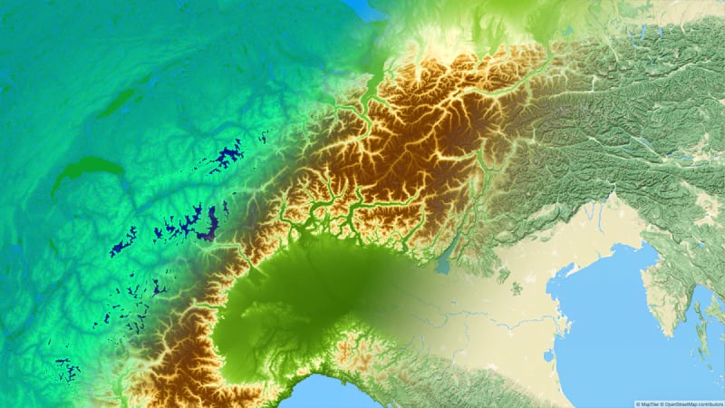
Terrain data for self-hosting
Ready-to-use Terrain RGB for DEM, Quantized Mesh for 3D Cesium JS, Hillshade, and Contour lines of the entire world with a resolution of 30x30 meters.
Outdoor
Maps for outdoor sports like hiking, cycling, cross-country skiing, and related activities.
Learn more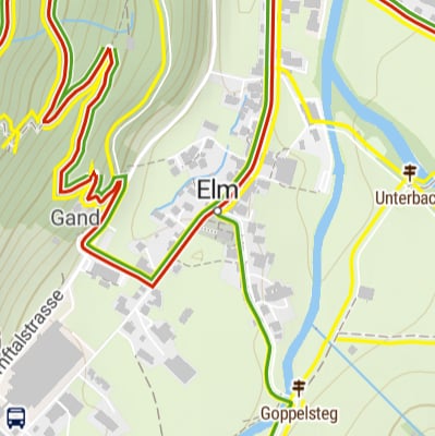

Add searching to your maps
Download geocoding indexes with your maps to have offline/secure search and reverse geocoding functionality in your applications.
Publish online instead?
- Lower price
- Automatically up-to-date
- All premium maps available to everybody
- No setup
- No administration