
Simply start uploading your geospatial data and our platform will handle validation, map tiling, and hosting on global infrastructure with built-in tools for styling and editing.

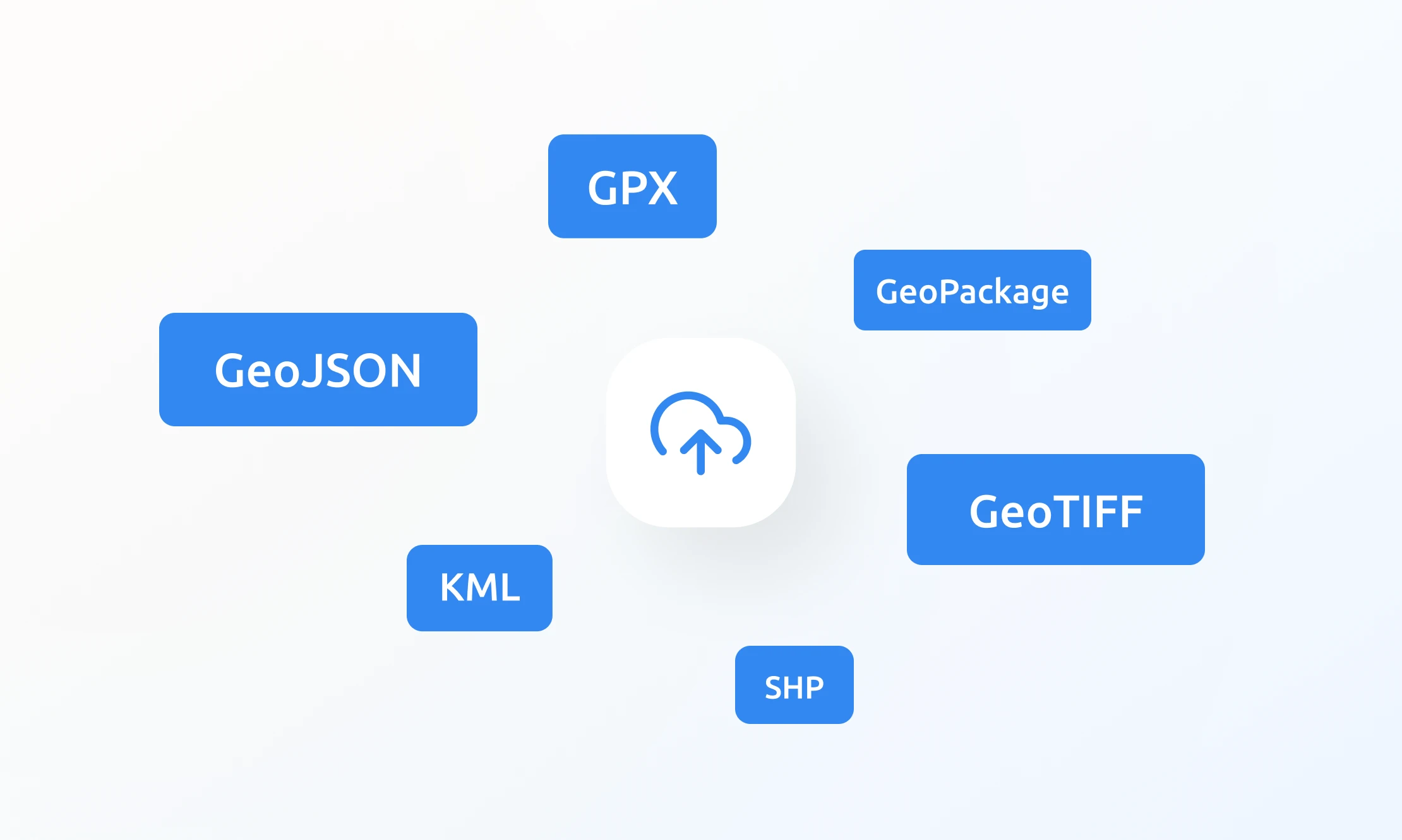
Easily upload everything from satellite, aerial, and drone imagery to complex utility maps or weather data. We support all industry-standard formats including GeoTIFF, GeoJSON, KML, GPX, and Shapefiles.
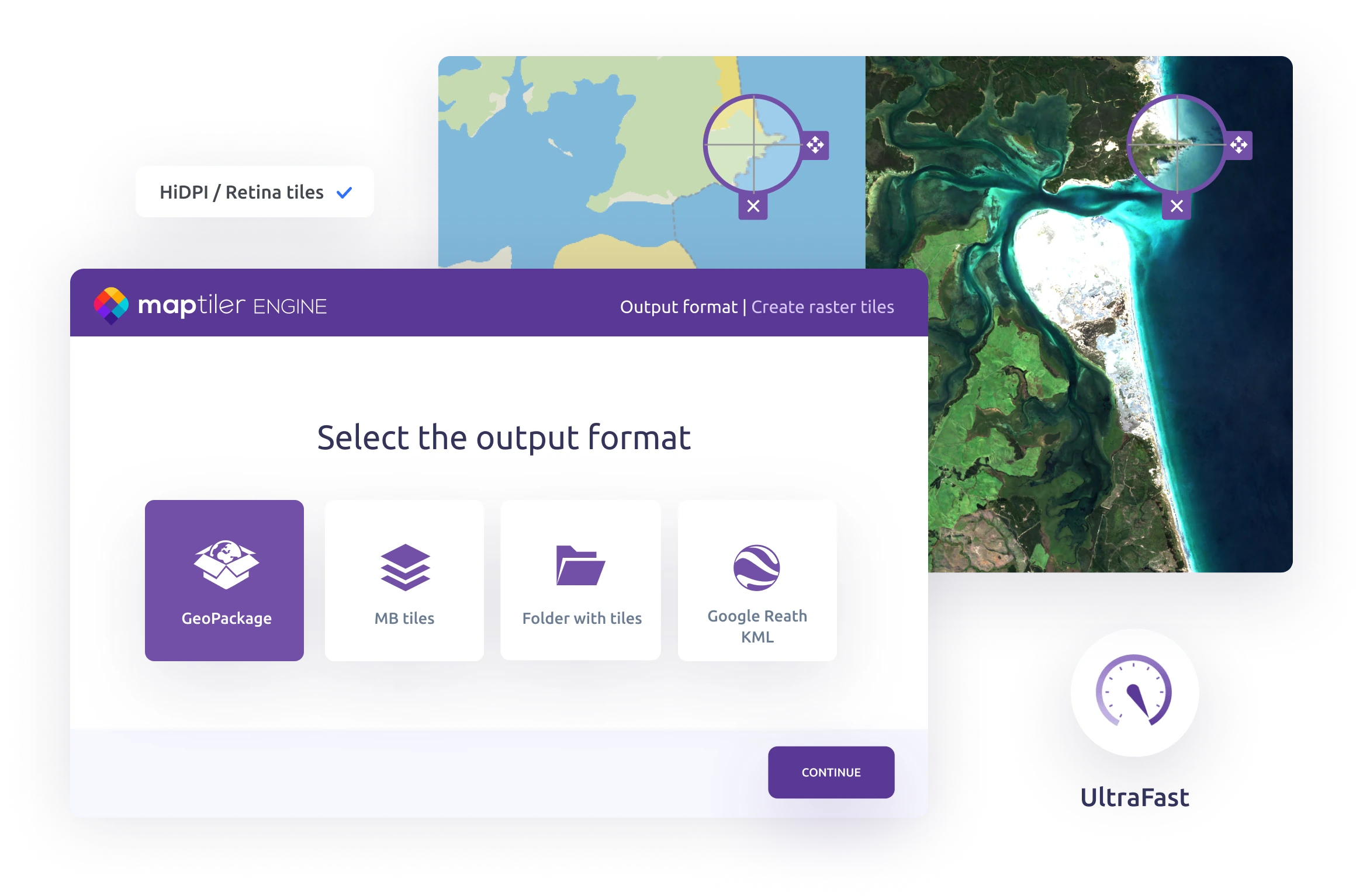
Tiled maps in MBTiles and GeoPackage formats are instantly available.
From small-scale to large, regularly updated datasets, the map storage adapts to your needs without limits or compromise. Stay fully in control: add, browse, or remove files at any time, and access analytics to monitor dataset usage with ease.
Upload tiled datasets of up to 100 GB per file.
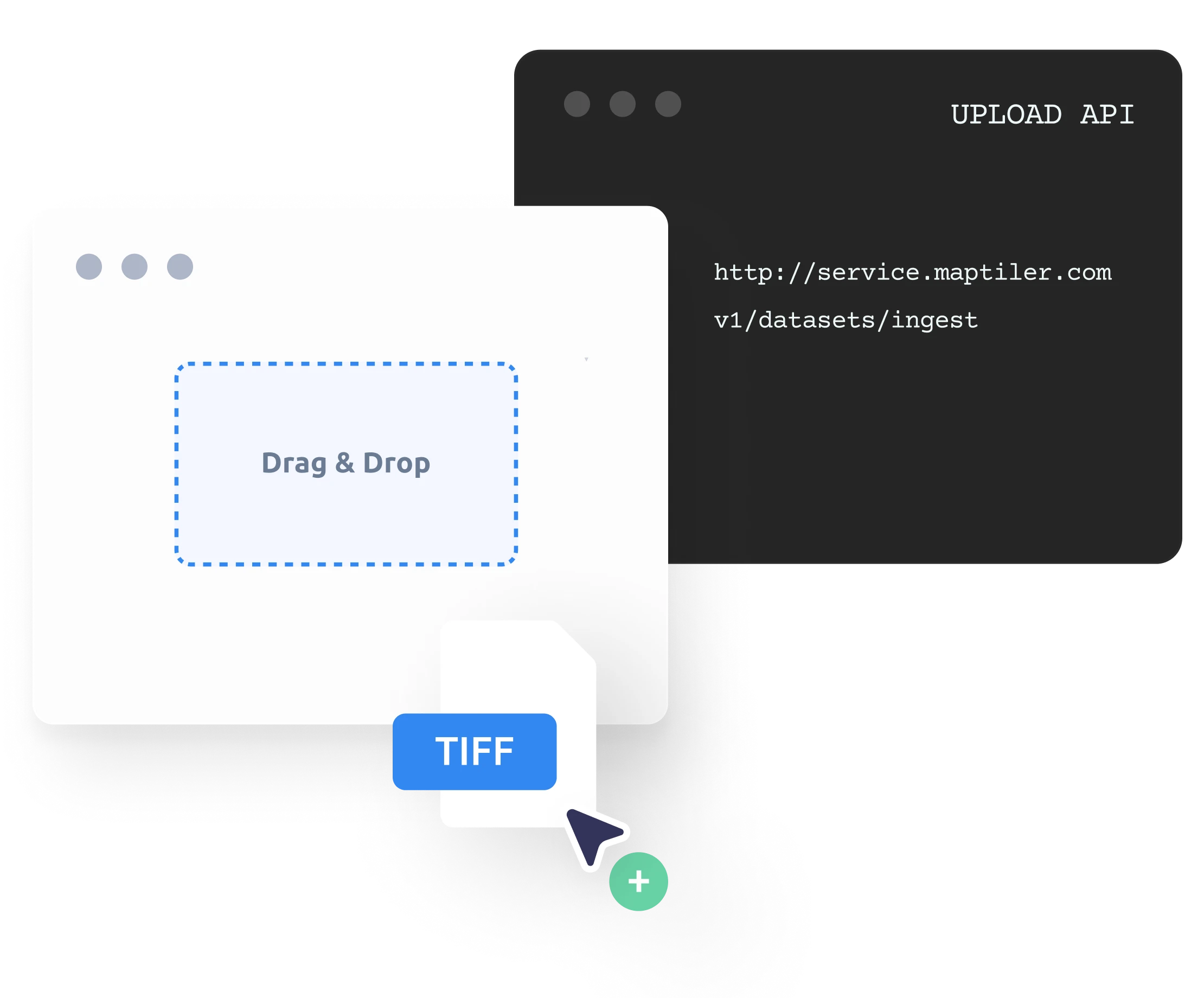
Working on a quick project? Use the drag-and-drop interface to upload raw geospatial data or datasets in seconds.
Building automated workflows? The Upload API gives advanced users full control over regular dataset updates and seamless system integration.
Automatic tiling is included for free!
Effortlessly assign geographical location to your architectural drawings, floor plans, event maps, or drone imagery. Align your images by simply matching points between your data and the map to get professional-grade results in minutes or even seconds.
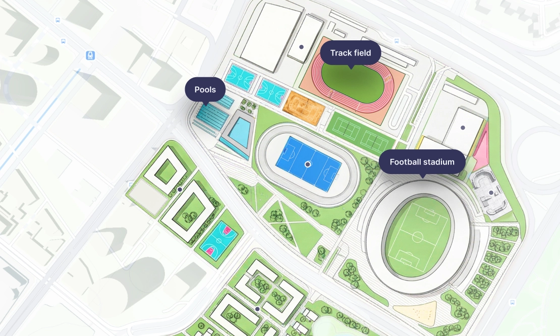
Make your data shine by pairing it with the perfect basemap: from clean backgrounds for data visualizations to detailed satellite imagery for a real-world view.
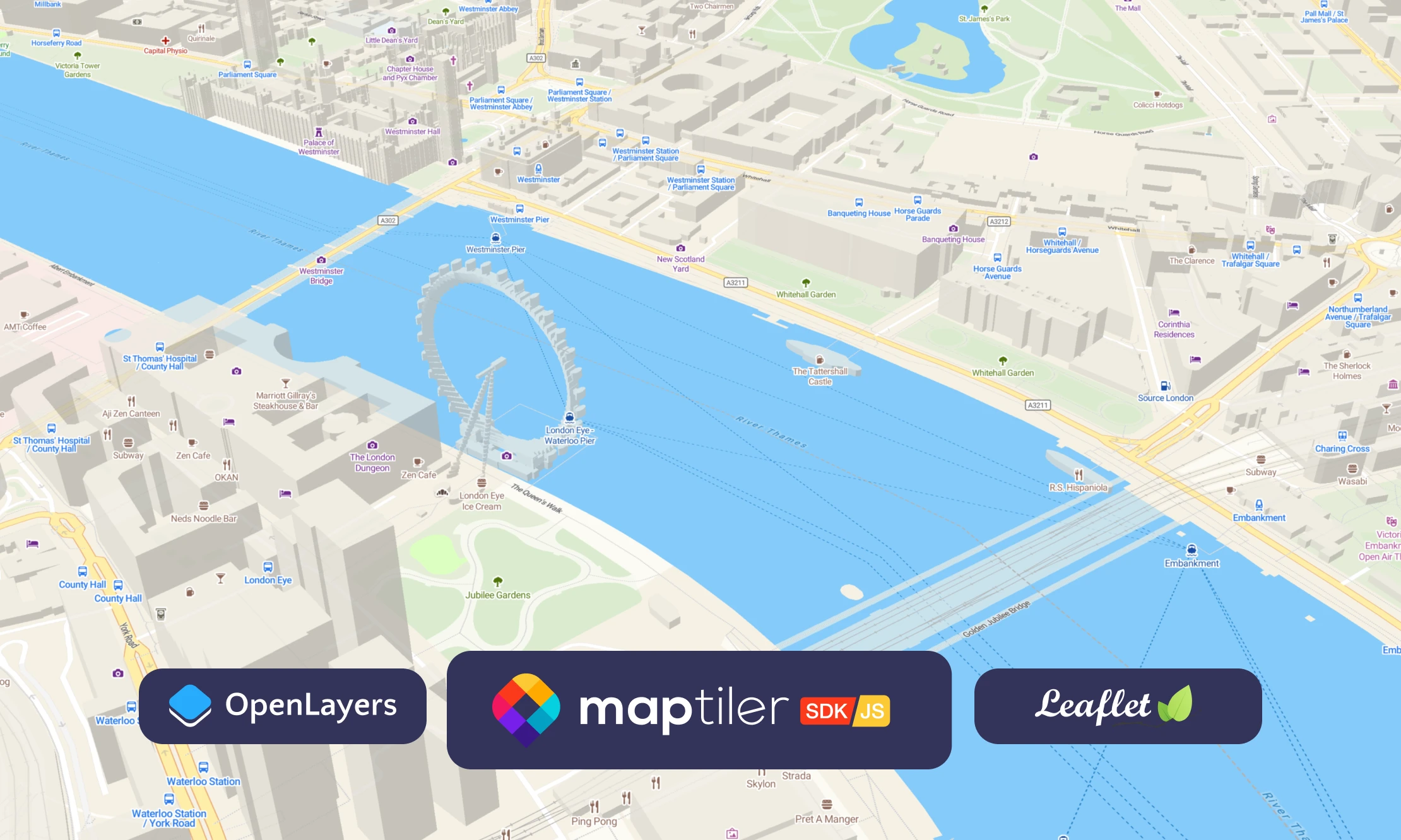
Quickly publish interactive maps using the modern, flexible MapTiler SDK, or integrate your data into existing apps built with Leaflet or OpenLayers.
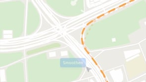
Tweak geometry, update attributes, or create new features in your vector dataset: all in your browser with a tool that’s intuitive and efficient.
Digitize uploaded imagery, draw new features using our basemaps as a reference layer, or add geometry from the built-in map database.
Work with geo datasets of any size, using detailed tiling settings and over a hundred geodata formats, tiling maps locally on your machine. UltraFast processing technology lets you generate high-quality map tiles quickly and efficiently, without sending data to the cloud.
Ideal for projects involving sensitive or confidential data, where speed and full control matter most.
Host your maps on fast, reliable infrastructure built for performance and scale. Evaluate with a free account, or choose a business plan with SLA for guaranteed uptime and support.