Creating on-line aerial map was never so easy.
Creating own aerial map from drone images
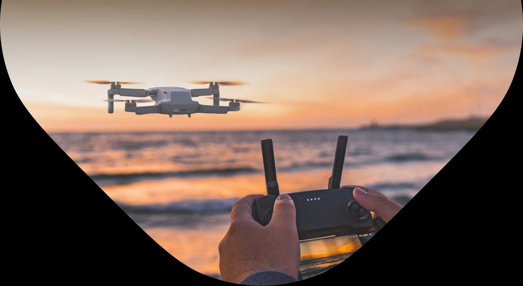
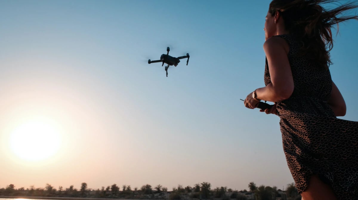
Fly with drone and make a map
It doesn’t matter if you are a company with professional UAV or individual with inexpensive hobby drone, by following three easy steps you can create your own aerial map and show others world from the bird’s eye view:
First, you need to fly and take pictures. You can shoot pictures with drones, use someones else's freely available images or just take a few pictures during your aircraft or even hot balloon trip. It is even not necessary to shoot them fully vertical, just make sure they overlap. This is important for designing cohesive aerial map.
If you need high precision seamless results, use specialised software to stitch your pictures and create orthomosaic export. You can either pick free software like OpenDroneMap or paid alternatives such as Agisoft Photoscan, Pix4D or Autopano. They help you not just with stitching, but also perspective correction, georeferencing and much more. At the very end, you will get orthocentrified imagery in GeoTIFF or similar format, which you can use in the next step.

Do you need Engine Pro?
Drag and drop your images into MapTiler, set or change parametres if needed, render your map and upload it to Amazon, Google Cloud, own hosting or use it offline.
Ready? Get started!