
Historical maps of Great Britain
Digitized archive maps API from the National Library of Scotland
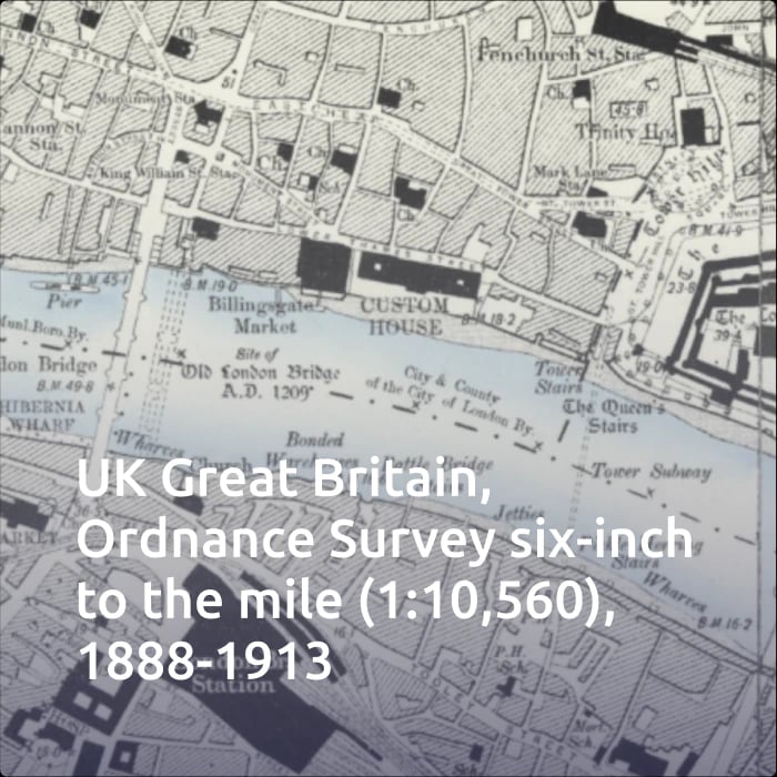
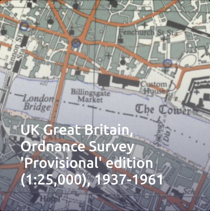
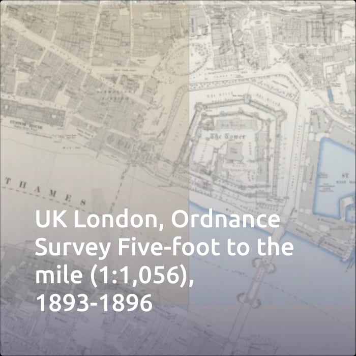
Available map layers
Cloud provides you with archive NLS maps of Great Britain for your projects and mashups.


Easy implementation in just a few steps
1
Subscribe to Cloud
Select the right plan for your requirements and expected map traffic.
2
Select the map for your project
In your MapTiler Cloud administration, go to Tiles -> United Kingdom, and select the map for your project.
3
Use NLS layer in your app
On the selected map, preview the details of the layer, and select one of the publishing methods.
Use historical maps in your projects
Combine historical and modern maps together, create mockups, transitions, or compare the land use now and then. With the historical maps API, you can access one of the greatest map collections available. And use its maps with various libraries, such as Leaflet, OpenLayers, ReactJS or with the Angular application framework. Mobile application development with Android SDK and iOS SDK is also possible.

Pricing plans
All historical maps of the NLS collection are available with a single Cloud subscription.
Select the plan that best fits your needs.
Explore the National Library of Scotland map collection
The National Library of Scotland is one of the largest libraries in the United Kingdom and their map collection holds more than 1 500 000 cartographic items. MapTiler is proud to host selected maps for anyone to use in their projects. Their online map collection is available here.
We have scanned paper map sheets of out-of-copyright Ordnance Survey maps. All the individual map sheets were cropped to remove their margins and then georeferenced in the OSGB coordinate system. They were then combined together to create one zoomable seamless map for Scotland, England, Wales and Ireland.
The map tiles were rendered on a computer cluster using a customized version of the Engine application.
Provided by the National Library of Scotland and MapTiler AG.
Please email geo@nls.uk for further assistance, or to provide general comments and feedback.