Increase the harvest with precision agriculture
Maps for agriculture industry
Got raw data? MapTiler Engine can process them!
Population growth and climate change bring new challenges into one of the oldest industries of the world. The answer lies in new tools which increase your harvest by precise crop management. One of them is MapTiler Engine, which can process data for your applications.
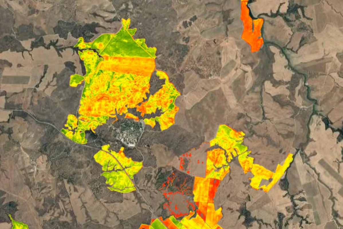
The dawn of precision agriculture was closely tied with the emergence of accurate GPS devices as well as the availability of UAVs for a wider audience. Information about soil fertility, irrigation, pesticides, and nutrients used combined with remote sensing and weather forecast can help you to control your fields and predict future progress. With precise maps and GPS devices installed in tractors, farmers can navigate accurately throughout their fields and apply fertilizers automatically only in places where they are needed. A yield map is also important for future planning and prescriptive planting.

Everything starts with data collection. This can be done by UAV or using satellite imagery. Drones equipped with an infrared camera and sensors display crop yield, moisture, organic matter content, nitrogen, and other substances levels. Imagery for the precise map can be created from satellites, drones, or by combining more layers together. When you need to transform your imagery into a map, MapTiler Engine enters the scene.
By dragging and dropping images into MapTiler Engine and setting a few parameters, you can get an output in the form of a digital map. This can be uploaded to cloud services like MapTiler Cloud, Amazon S3, or Google Cloud, but also to your own servers. Maps can be easily integrated into your own applications.
Available On:
