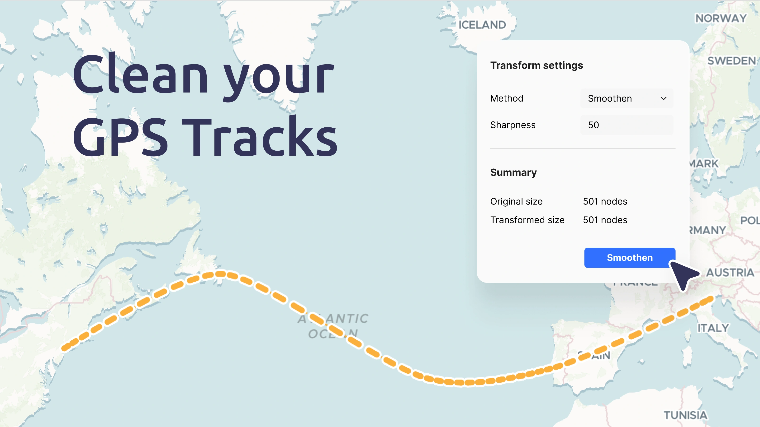
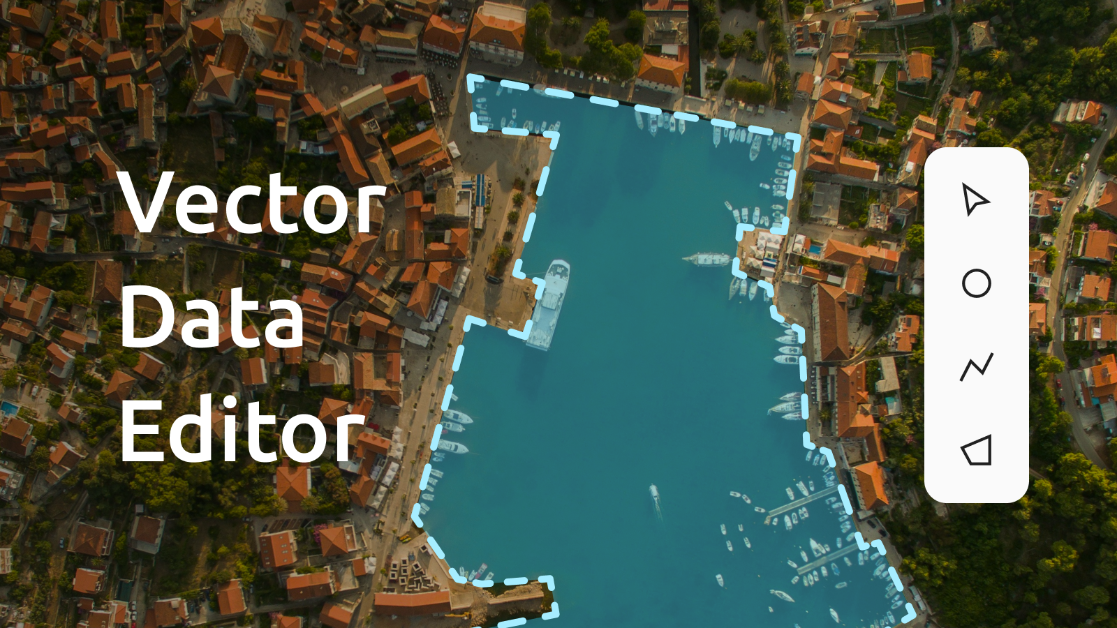
Create cleaner, better-looking map visuals from noisy GPX tracks and other vector datasets. The Vector Data Editor just got upgraded with new geometry simplification and smoothing tools. You can now easily optimize lines and polygons for faster performance and smooth out jagged lines for professional map visuals. Whether you’re managing large spatial datasets or preparing maps for presentation, these tools make it simple to reduce complexity and enhance the quality of your geospatial data.
Key benefits:
- Clean noisy GPS data: Simplify and smooth lines created by GPS trackers and other devices, for more professional-looking maps.
- Faster data preparation: With a few clicks, you can simplify and smooth geometries, reducing effort and speeding up your workflow.
- Improved map performance: Optimized datasets load and render more quickly, perfect for web and mobile platforms.
The intuitive transformation dialog lets you choose between simplification and smoothing, adjust tolerance, and see real-time feedback on how your data will change. You can even apply changes to just part of a geometry or assign elevation values for 3D mapping, all within a few clicks. This update streamlines workflows, saves time, and ensures your maps look their best, no matter the use case.


