MapTiler News Labels
3DAccount managementCustomersData catalogData visualization mapsEventFranceGeodata hostingGeodata processingJapanMap designerMobileOSGeoOn-prem dataOn-prem map serverOpen-sourceOpenMapTilesOpenStreetMapOutdoor and topo mapsPressQGISRoutingSDKSatellite mapsSearch and geocodingStatic mapsStreets and transport mapsSwitzerlandTransform coordinatesUnited StatesUpdateVector data editorWeather
3D


Account management


Customers


Data catalog


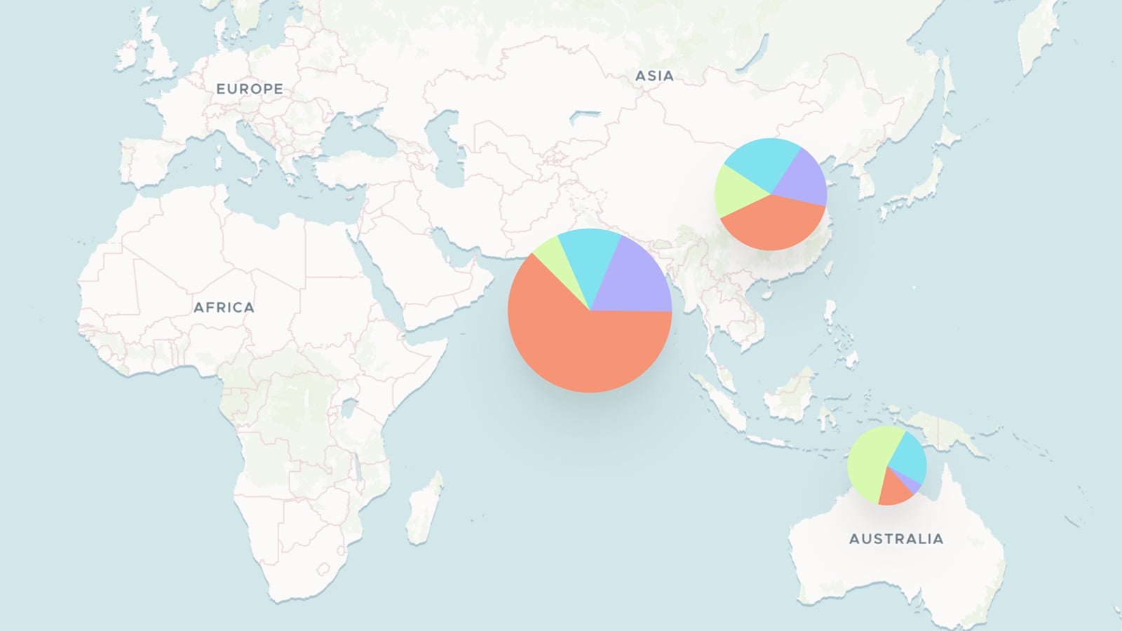
Data visualization maps


Event


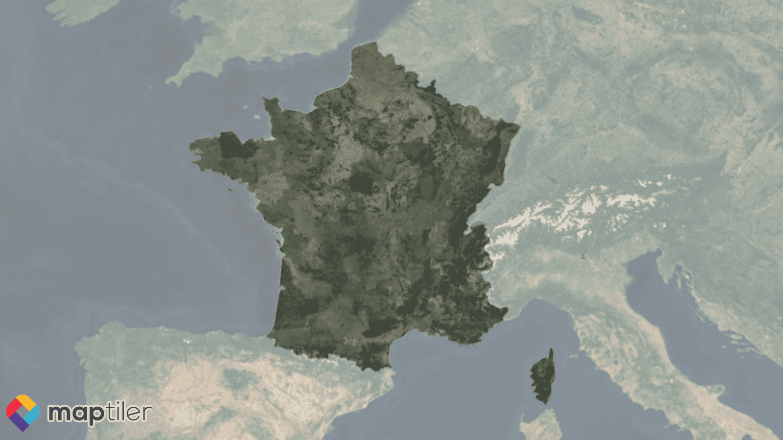
France

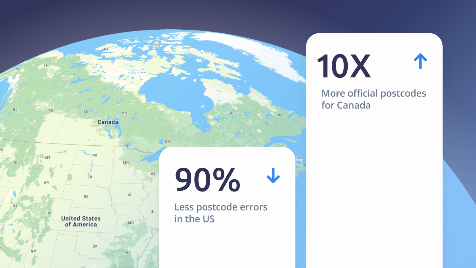
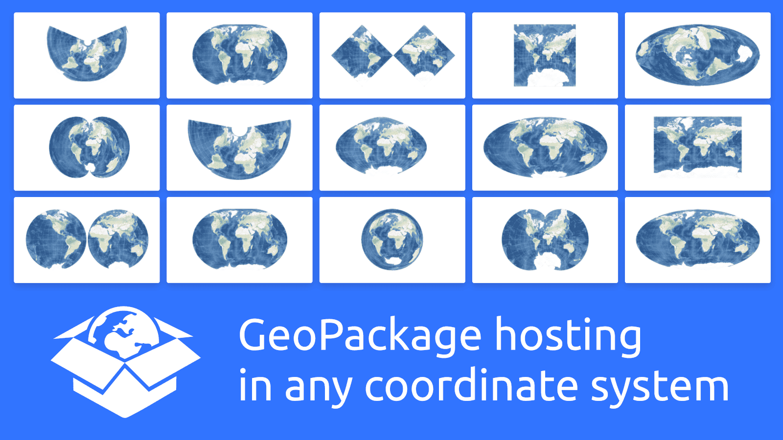
Geodata hosting


Geodata processing


Japan


Map designer


Mobile


OSGeo

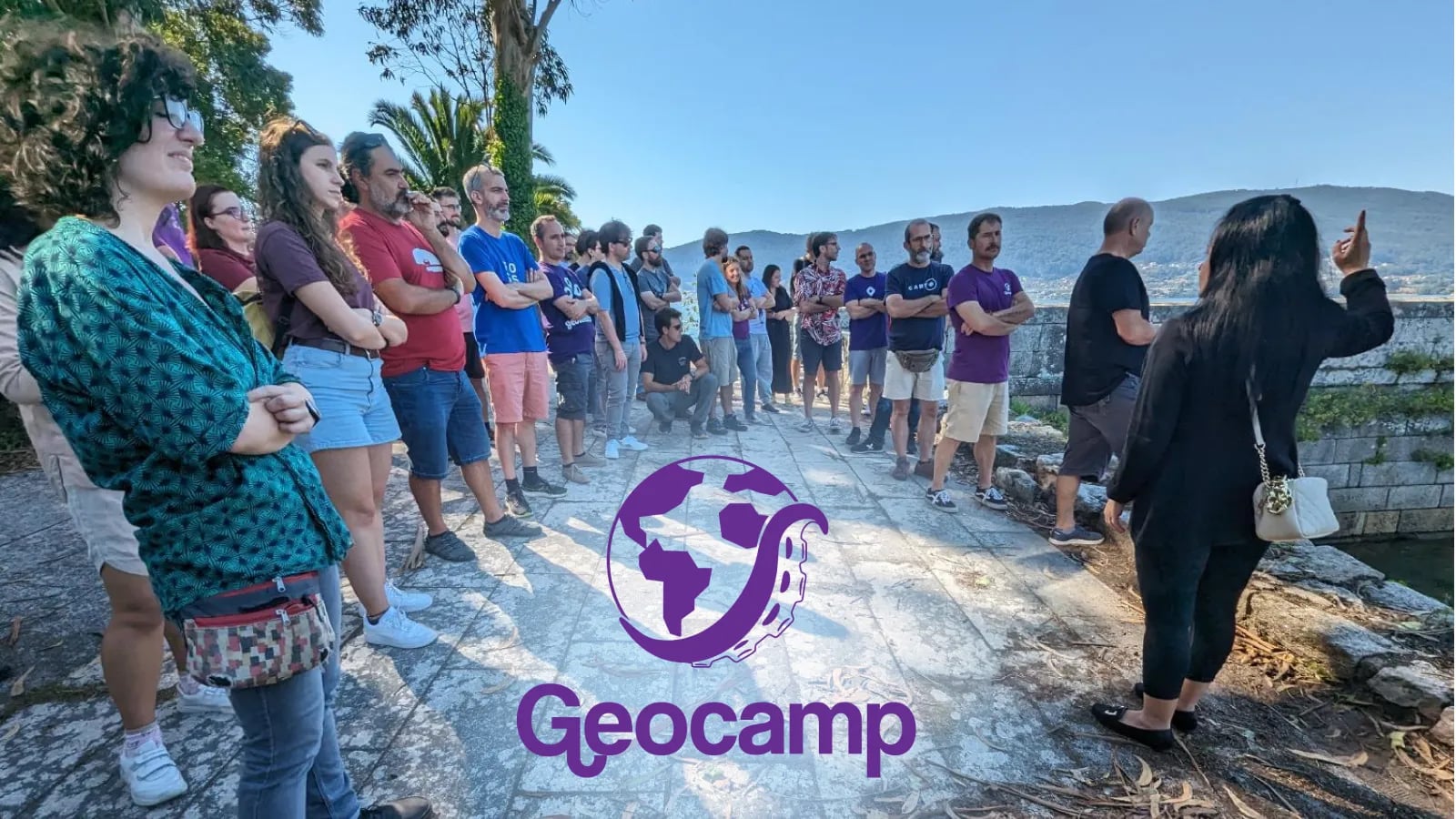
GeoCamp/SotMes 2025: Spanish OSGeo & OpenStreetMap community conference
Published December 19th, 2025


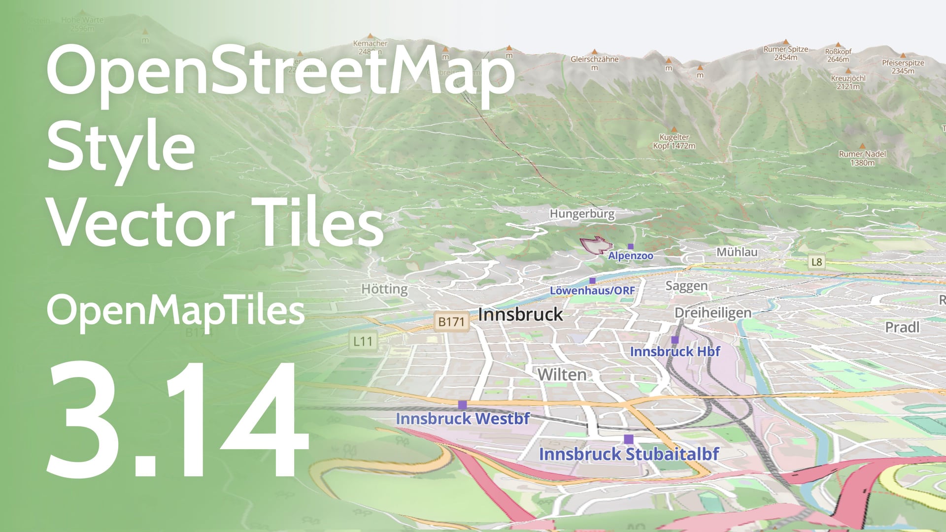
OpenMapTiles 3.8 with improved transportation layer and new water features
Published April 30th, 2018

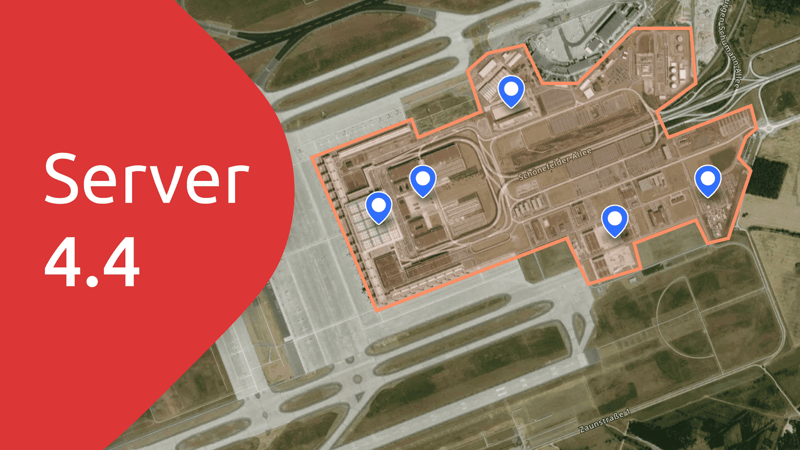
OpenMapTiles Map Server: The easiest way to deploy vector OpenStreetMap
Published December 20th, 2017


On-prem data


On-prem map server


Open-source


OpenMapTiles 3.8 with improved transportation layer and new water features
Published April 30th, 2018

OpenMapTiles
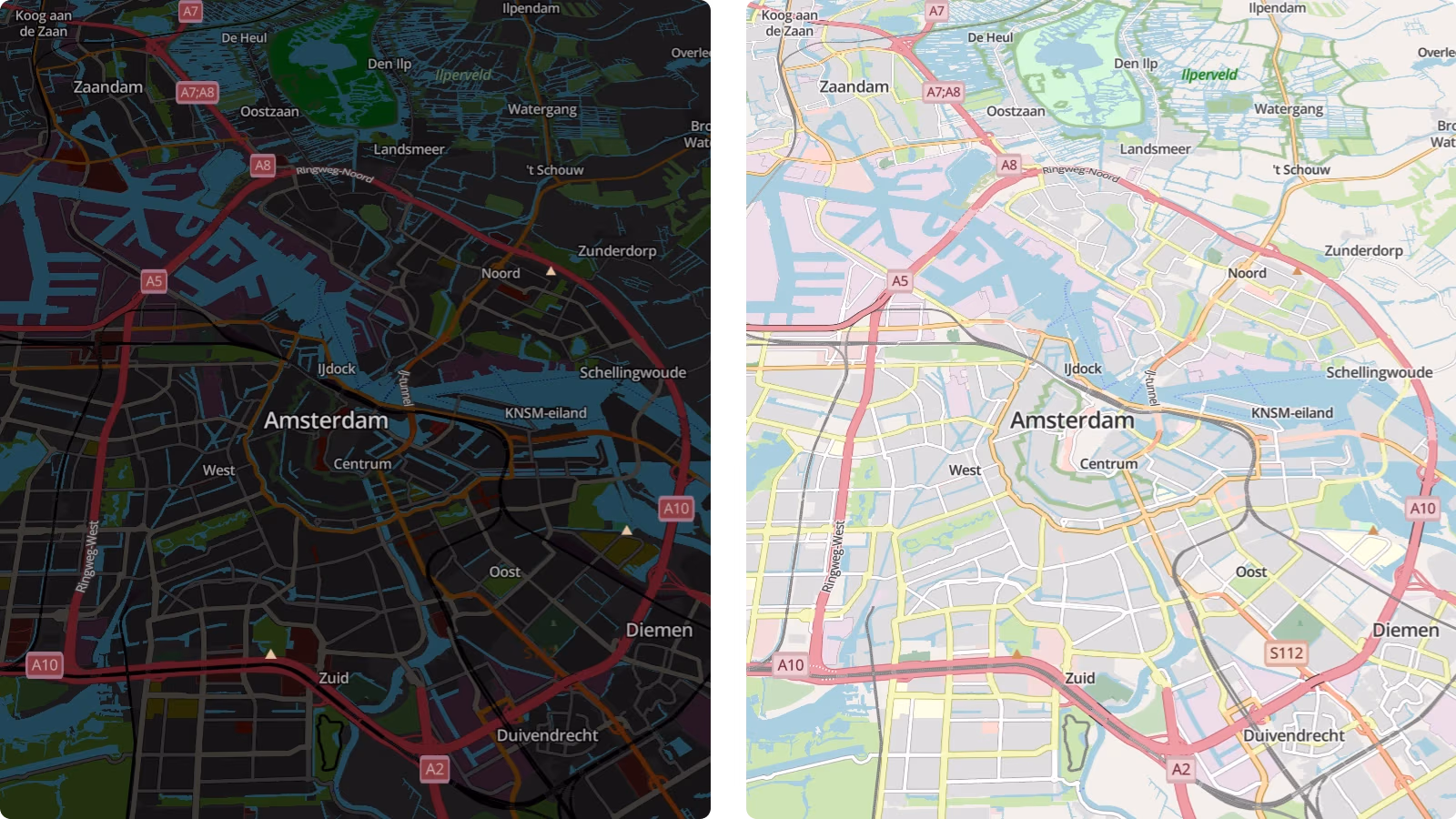


OpenMapTiles 3.8 with improved transportation layer and new water features
Published April 30th, 2018

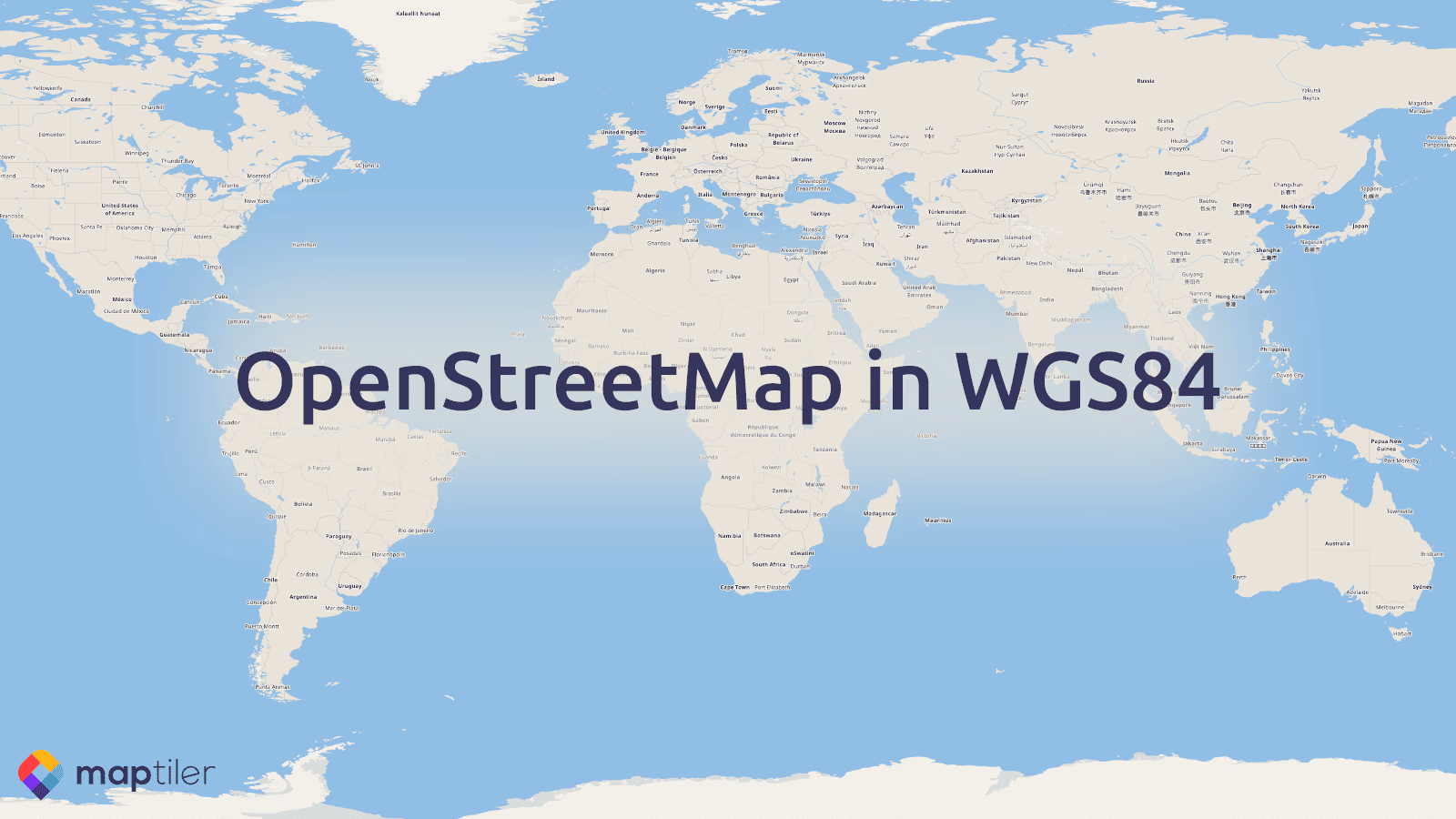
OpenStreetMap
GeoCamp/SotMes 2025: Spanish OSGeo & OpenStreetMap community conference
Published December 19th, 2025

OpenMapTiles 3.8 with improved transportation layer and new water features
Published April 30th, 2018