swisstopo is Switzerland's Federal Office of Topography, with a long history of producing maps praised for their accuracy and quality. The organization is highly respected both at home and abroad. MapTiler technology is helping power the new swisstopo map service.
swisstopo needed to produce a new digital map available as a Vector Tile Service, to provide a background map for overlaying thematic government datasets.
swisstopo used MapTiler tools for data processing, hosting, and serving, and were helped by on MapTiler consulting services and map expertise in the production of the new swisstopo maps.
swisstopo trusts our Cloud infrastructure to host and serve their maps and data, with high reliability, security, and speed.
Global maps hosted by MapTiler, with the ability to show disputed borders according to different national policy, now complement swisstopo data.
Users of the swisstopo maps have a seamless experience when browsing across borders, while knowing they are looking at the best data within Switzerland.
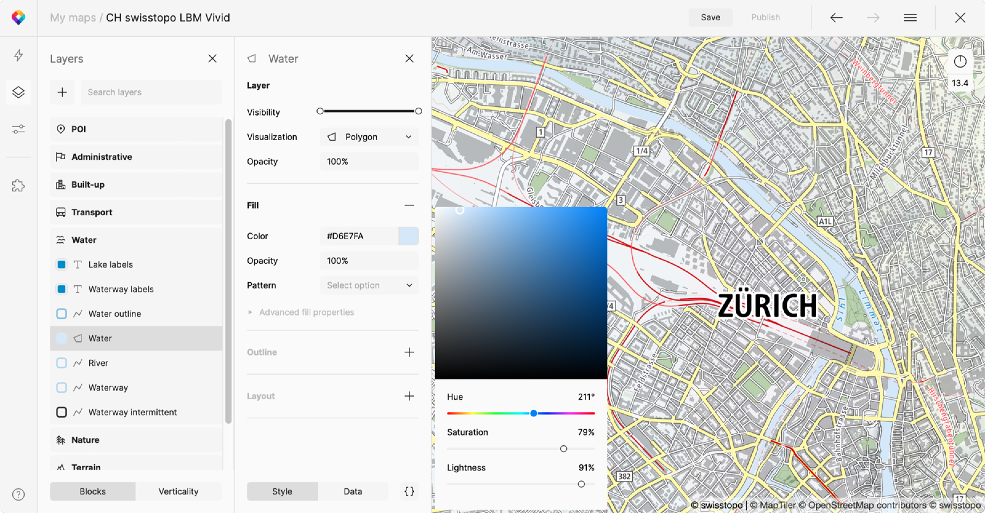
Swiss maps are world-famous for their beauty, and swisstopo cartographers used Cloud’s Customize tool to develop the new Swiss Light-Base-Map map style.
Server was used to create a live-preview of the maps under development, so cartographers could immediately visualize changes to the style and design.
Data stored in PostGIS databases easily connected to the maps and easily adapted to fit the Swiss style.
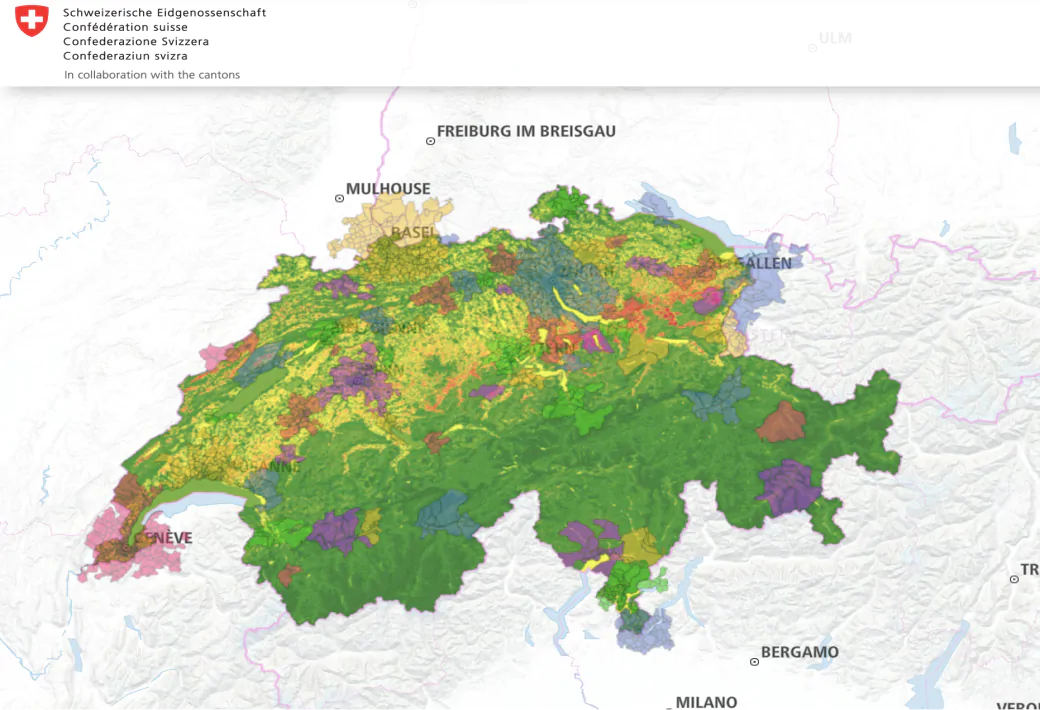
MapTiler’s powerful data processing pipelines were customized for swisstopo’s unique needs, with the ability to generate ready-to-use vector tiles with just a few clicks.
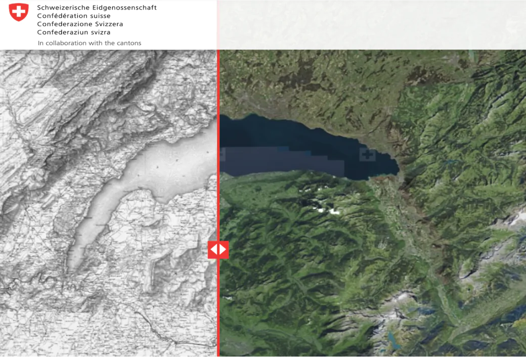
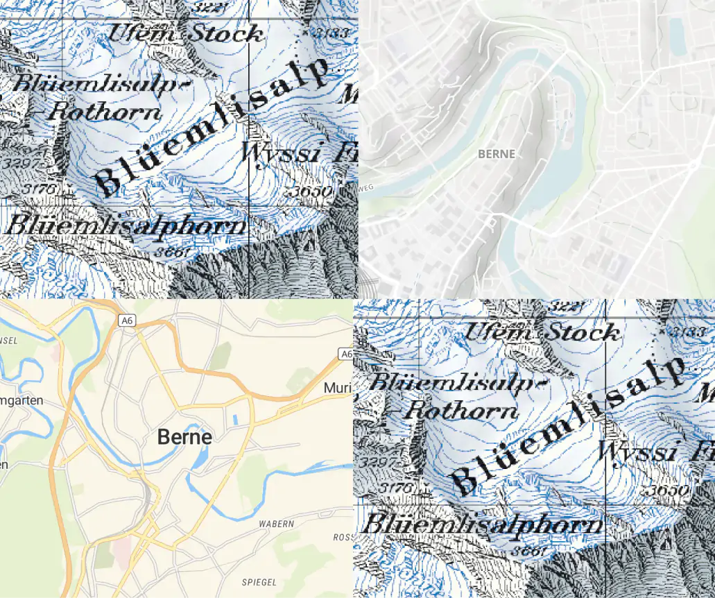
Engine is used to process the uniquely Swiss hand-drawn terrain reliefs and high-resolution aerial imagery.
Want more information?
Have a question?
Need a demo with presented functionality?
Or just want to chat with us?