MapTiler expands into the United States
Published February 7th, 2025
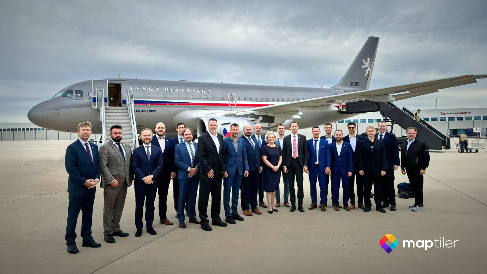
When Czech President Petr Pavel traveled to the United States, our Product Manager, Jaroslav Polacek, was part of the official delegation. He presented MapTiler to various audiences, strengthened business...