UPDATE: We have a new satellite map with an incredible resolution of 1-2m/px globally. Read more about it here: Global high-resolution satellite map.
Planet Earth is a wonderful place: from various shades of blue in oceans through the green waste of forests to always white tops of mountains. Our planet offers a spectacular palette of colors made by nature as well as human beings.
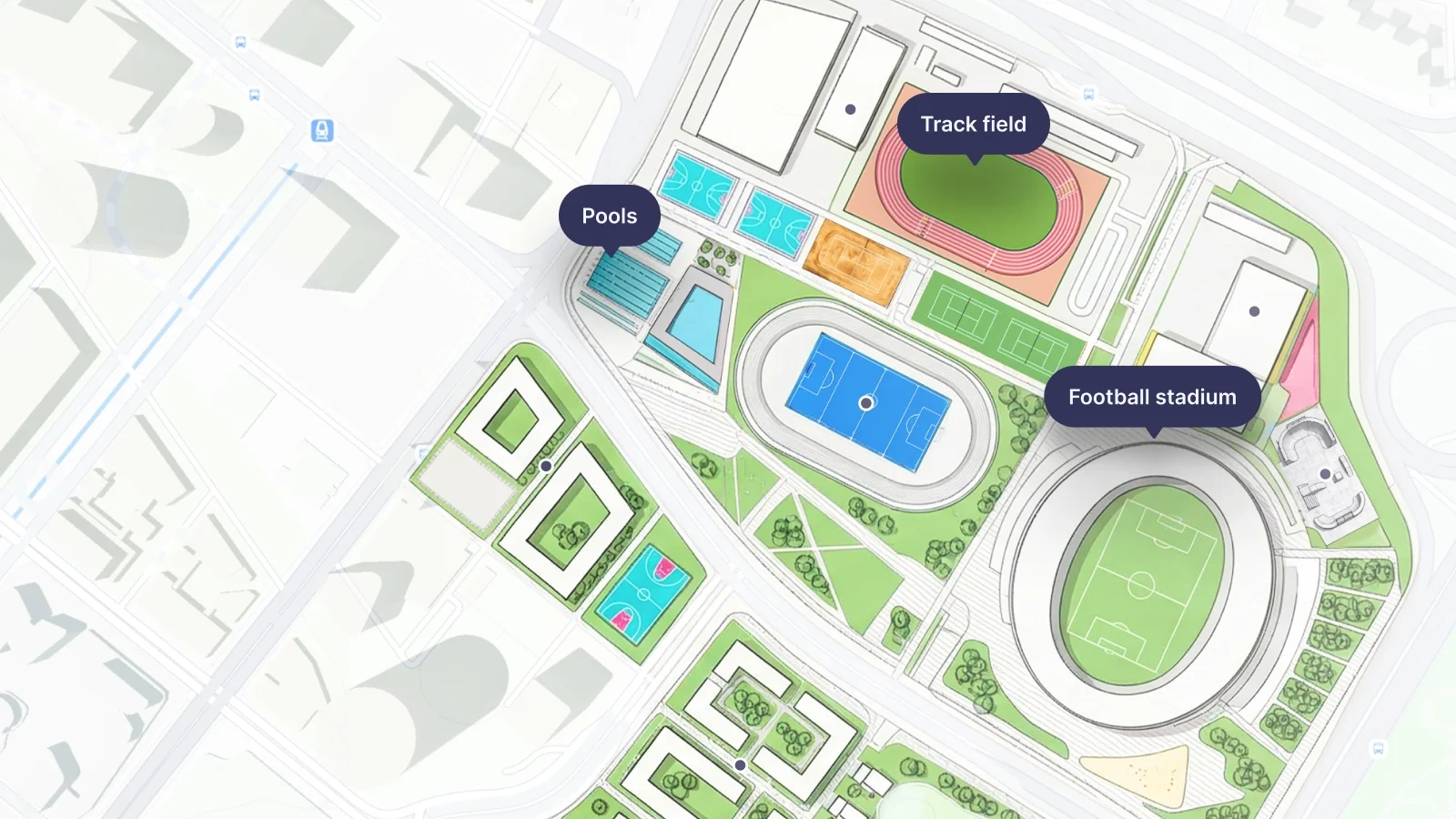
OpenMapTiles Satellite gives something one cannot manage to visit his life: a high-resolution aerial view of all the beauty of our home planet overflow. They can be easily combined with other OpenMapTiles layers to create a comprehensive user experience.
You can start with an exploration on the OpenMapTiles Satellite page, where previews are available, or download the data.
Endless summer
Currently, there are tiles covering the whole world until the zoom level 13 with a resolution of approximately 20m per pixel. To create a cloudless map, the images from the northern hemisphere were taken in the summertime and the ones for the southern hemisphere during winter, thus during its summertime as well.
Additional imageries with higher resolution are planned to be published in Q1 2018 from countries that provide their aerial imageries under open data license. This includes countries like the USA, Denmark, Switzerland, Netherlands, Finland, Germany, France, and many others.
The data comes from ESA Sentinel-2 satellites orbiting 790 km above the surface and are processed by MapTiler Engine technology.
Need more?
If you need to add your own data into part of the OpenMapTiles Satellite, e.g., extremely high-resolution imageries from drones, and use satellite imagery supplied by us for the rest of the world, there is an easy way with MapTiler Desktop. The software comes with a user-friendly graphical interface, which ensures that image processing is available even for non-technical people.
All you need to do is drag and drop your images, set the coordinate system, visually geolocate the images if they are not pre-processed, and render them in a selected format. The best fit for mixing with OpenMapTiles is the MBTiles format. There is a short overview as well as full documentation available.
There is a free and paid professional version available, depending on your needs.

Want to get started?
The whole planet is about 200GB in size. However, there are packages sliced by continents, countries, and even regions for bigger nations. If you are still unsure, there is a low-resolution package that contains zoom levels 0 - 5, has less than 30MB, and is available completely for free.
If you decide to download your area, you will get a package in MBTiles or GeoPackage format. Self-hosting on your own infrastructure is possible and can run even offline if needed.
However, we offer our clients hosting on our own infrastructure, which is spread over more than 100 datacentres, contains high-availability setup, SSL, DDOS protection, load-balancer with failover, duplication of main datacenters in Europe and North America, and weekly update of OpenStreetMap tiles.