MapTiler proudly announces the launch of MapTiler.cz with services perfectly fitting the needs of Czech companies and developers.
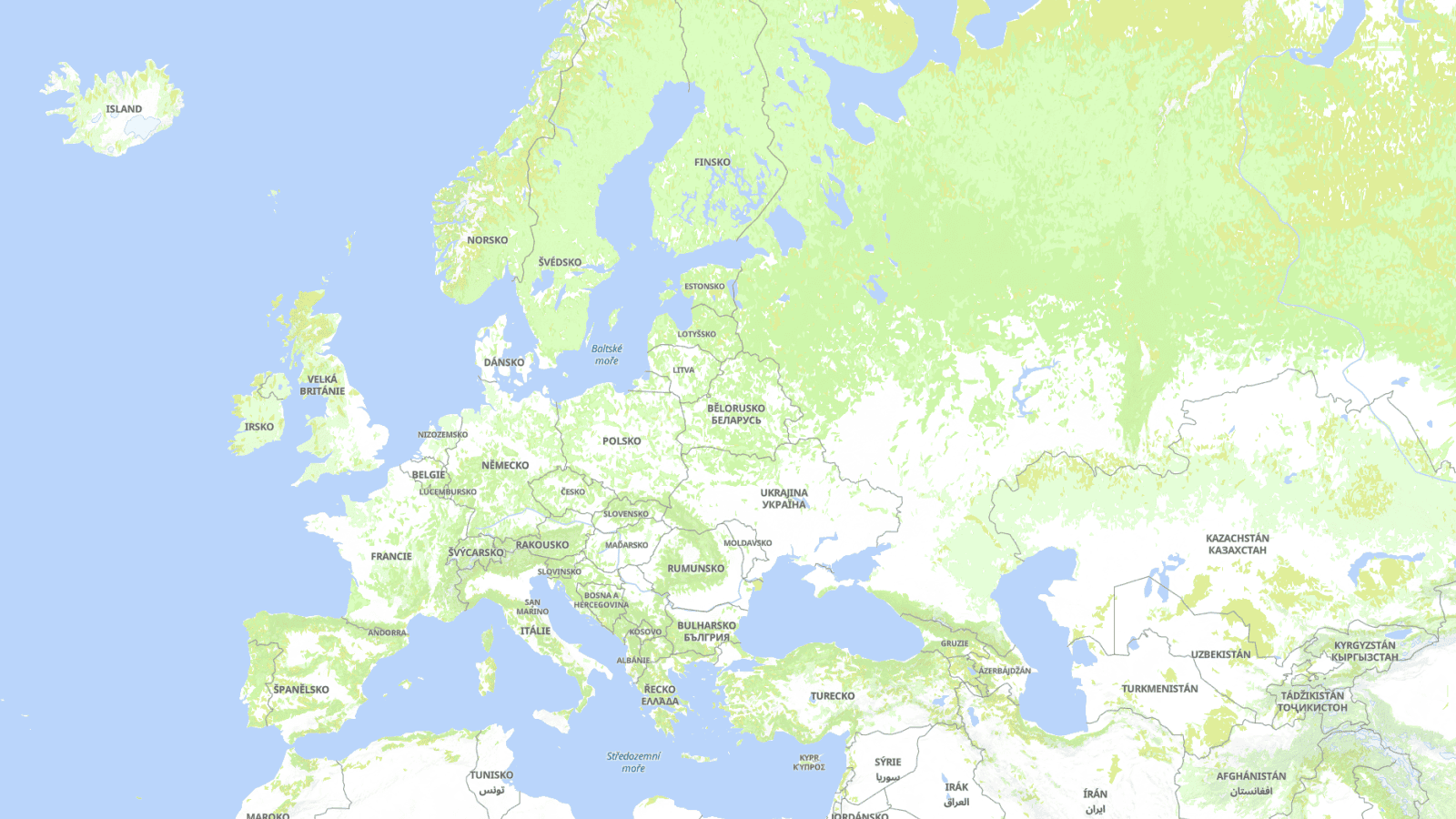
Street and satellite map in the Czech language
Names of the cities, countries or mountain ranges are now available on MapTiler Cloud in the Czech language or automatically changed to more than 60 other languages based on the user’s browser preference.
Customize tool can change the map design in a few mouse clicks to fit your company’s brand.
Streets, topographic, as well as many opaque maps for displaying own data, are available on MapTiler Cloud. Customize tool can change the map design in a few mouse clicks to fit your company’s brand.
Hiking map with color-marked trails, typical for Czech cartography, is about to be released. Maps in labels in the Czech language
The high-resolution satellite map of the USA and Western Europe is being complemented with aerial imagery of other important regions. Prague is the first city in Czechia with high-res satellite imagery. Feel free to zoom to beautiful Prague Castle or Charles Bridge.
Create a free account and start using maps with Czech labels.

