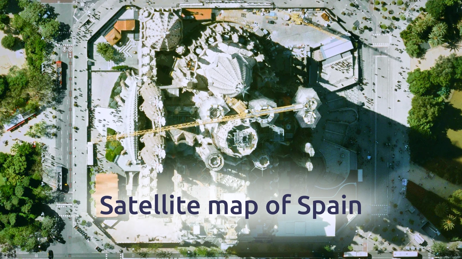
Spain has newly processed aerial imagery added to the MapTiler Satellite map.
Nationwide coverage comes from data captured between 2021 and 2023, available at resolutions between 15 and 25 cm/px. This provides a clear and detailed view of the entire country.
For the city of Barcelona, even sharper imagery is included: high-resolution data at 10 cm/px from 2022, offering precise detail of streets and the urban landscape.