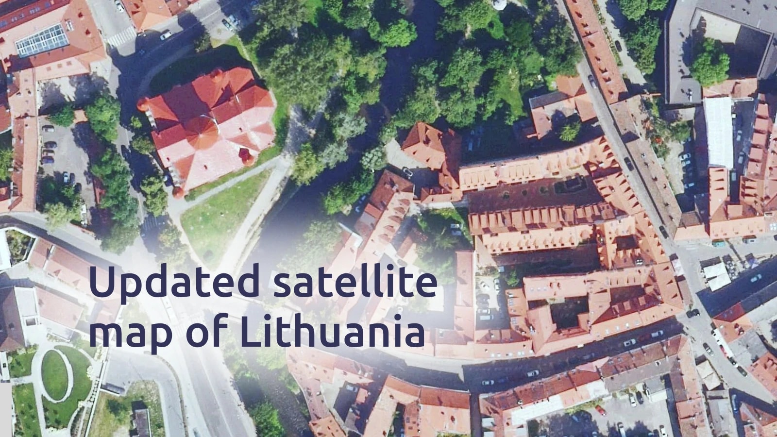
New high-resolution satellite imagery of Lithuania is now part of the MapTiler satellite map. Covering the entire country with a ground resolution of 20 cm per pixel, the dataset captures landscapes and urban areas from 2020 to 2024.
Explore cities like Vilnius, Kaunas, Klaipėda, Šiauliai, and Panevėžys, and the agricultural and natural landscapes in between. View the whole of Lithuania from above, in glorious detail!