
Cesium 3D terrain on-prem
Gain complete control over your 3D mapping infrastructure. Deploy Cesium-compatible terrain data on your infrastructure to enhance spatial understanding, optimize operations, and eliminate external dependencies.
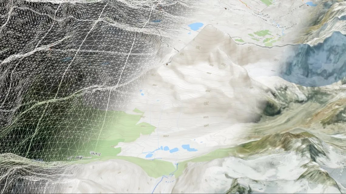
Detailed global terrain
Accelerate project delivery with ready-to-deploy global terrain. Access pre-triangulated terrain data covering the entire planet at 30-meter resolution, eliminating weeks of processing time while enabling immediate 3D visualization for critical decision-making.

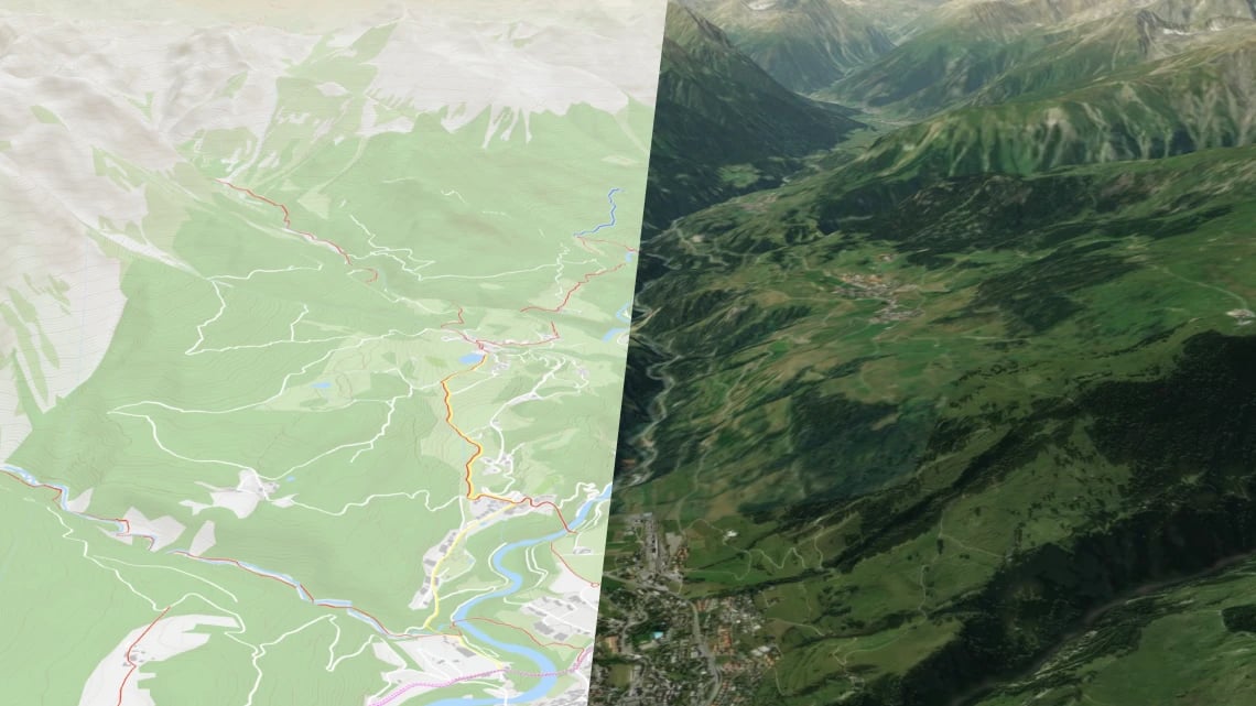
Satellite or street maps
Create compelling visualizations that drive better decisions. Combine high-resolution terrain with aerial imagery or street maps to provide stakeholders with intuitive understanding of spatial relationships, improving site selection, infrastructure planning, and resource allocation.
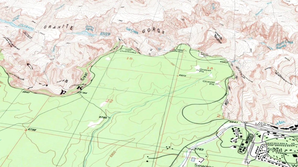
Add own imagery
Transform proprietary data into valuable 3D assets. Seamlessly integrate your organization's drone imagery and scanned maps with terrain models, creating unique visualizations.
CesiumJS compatible
Visualize on the web using the most popular 3D geospatial JavaScript library.
Add own 3D buildings, models, data in KML or GeoJSON, and create time-dynamic visualizations.

Read latest news about Server


Try Server now!
Available for Windows, macOS, Linux, Raspberry Pi, Docker, and Kubernetes.