3D maps for your website & apps
Explore the planet in rich detail using our 3D maps with extruded buildings and 3D terrain.

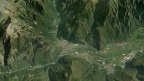
3D world maps with buildings and terrain
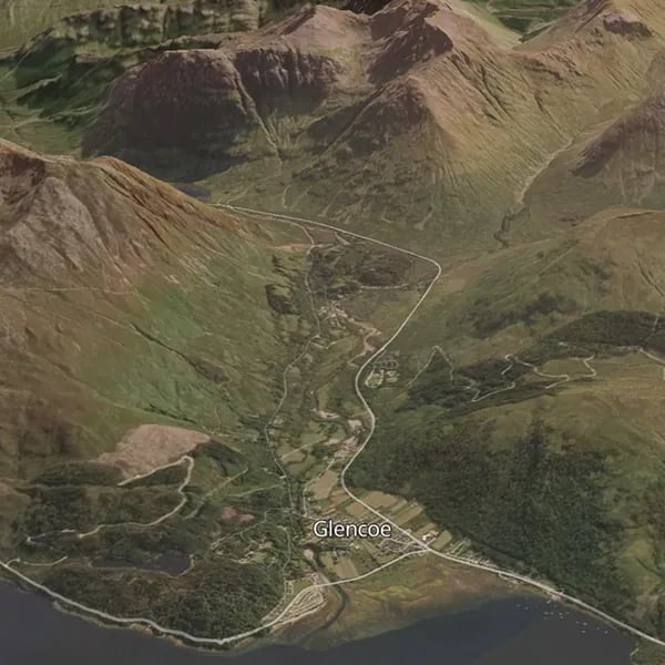
Global 3D terrain ready to use with any of our map styles
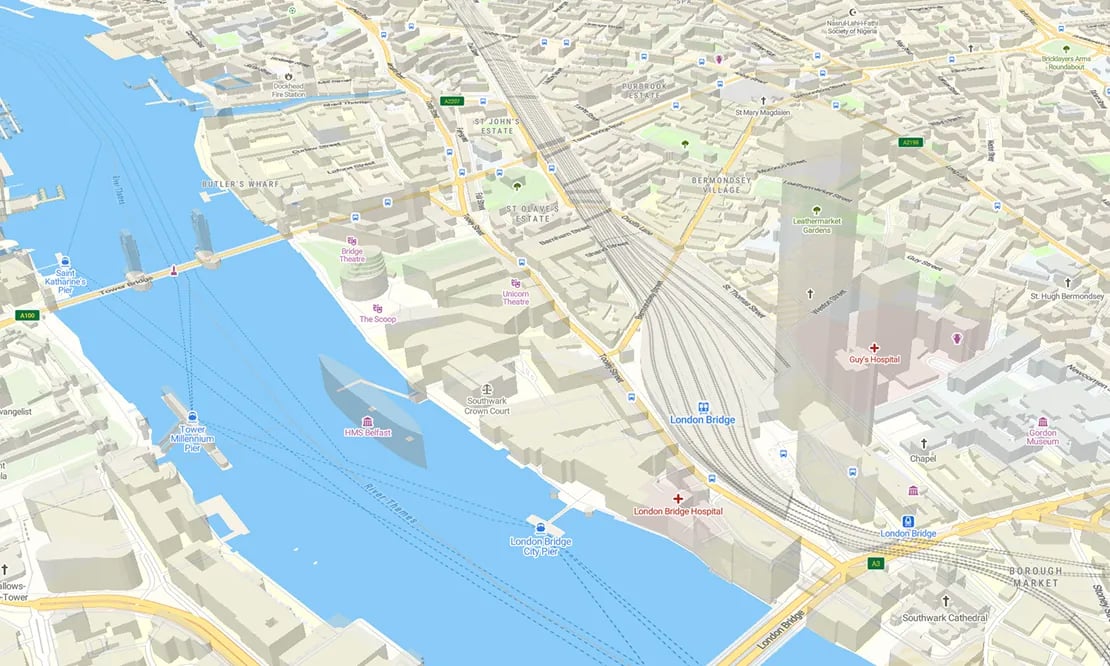
3D buildings aid with navigation in built up areas
Easy to code with JavaScript examples
Build your own 3D world map
Create a realistic 3D map of the world with the satellite layer from MapTiler Cloud.
Include roads and placenames for context by using the hybrid layer.
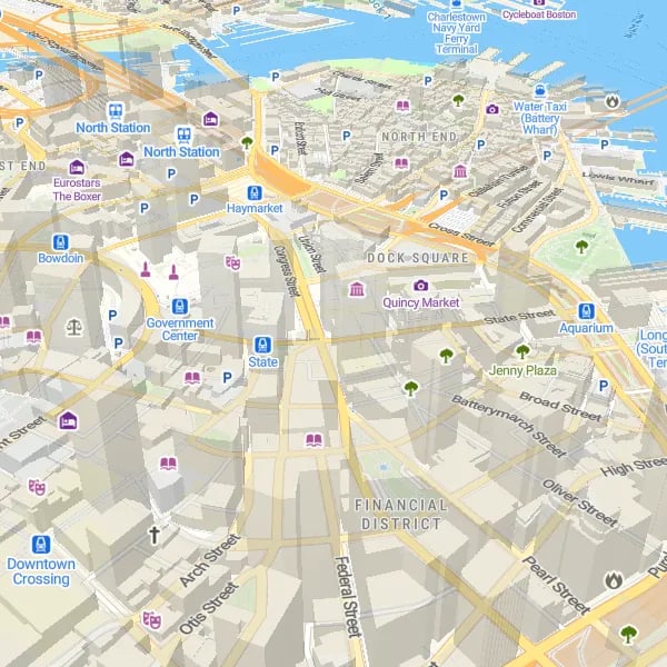
Navigation with 3D maps
Build an immersive experience with extruded 3D buildings to help your users navigate the city and find their destination.
Use MapTiler Streets which contains building height data.
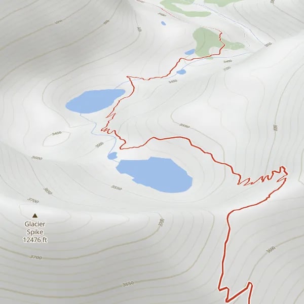
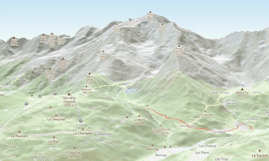
Maps with 3D for adventure
Show the terrain in 3D to give your users the best experience when hiking, biking, or skiing.
Use MapTiler’s Outdoor and Winter maps which include details of hiking trails and ski slopes.
Available as:


Show 3D models with a few lines of code
Integrate your glTF 3D models, meshes, or point cloud data into a global map. Visualize, animate, and make your assets interact with each other using the MapTiler SDK 3D module.

Turn drone imagery into photorealistic 3D models
Upgrade from traditional meshes to stunning, hyper-realistic 3D scenes using GeoSplats.
Convert your drone imagery and video into highly detailed web map applications.

Start using 3D via Maps API
const map = new maptilersdk.Map({ terrain: true });