Self-host satellite maps
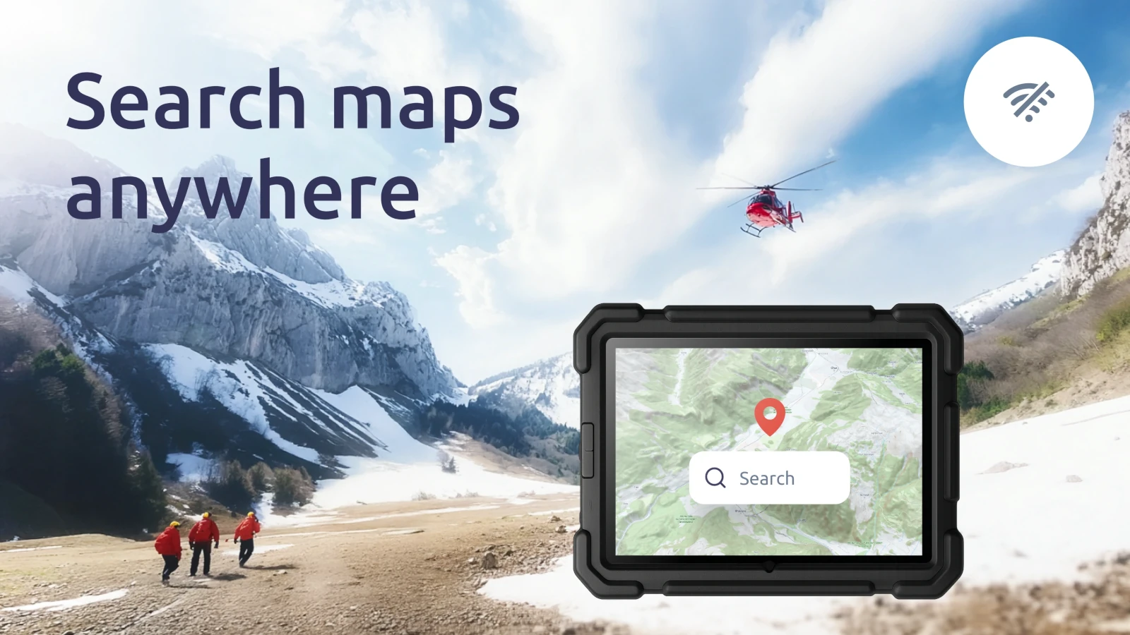
Access global satellite and aerial imagery directly from your own hardware, ensuring data privacy, consistent performance, and freedom from external dependencies.
High-res aerial imagery
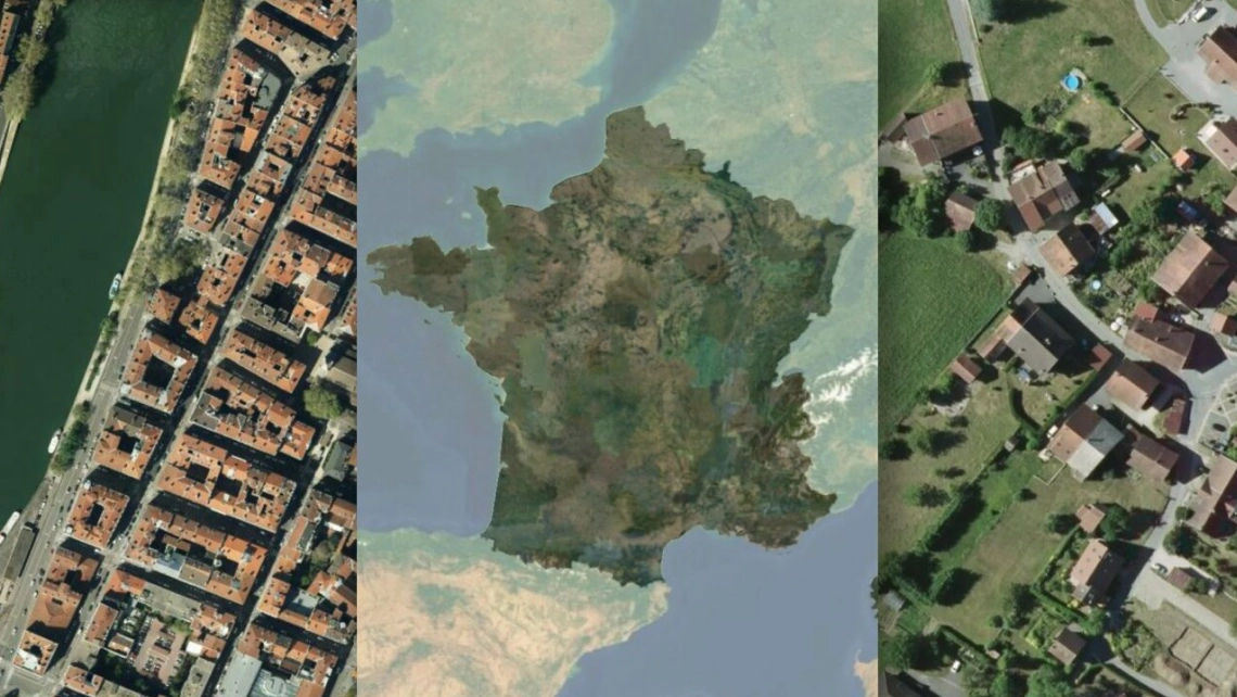
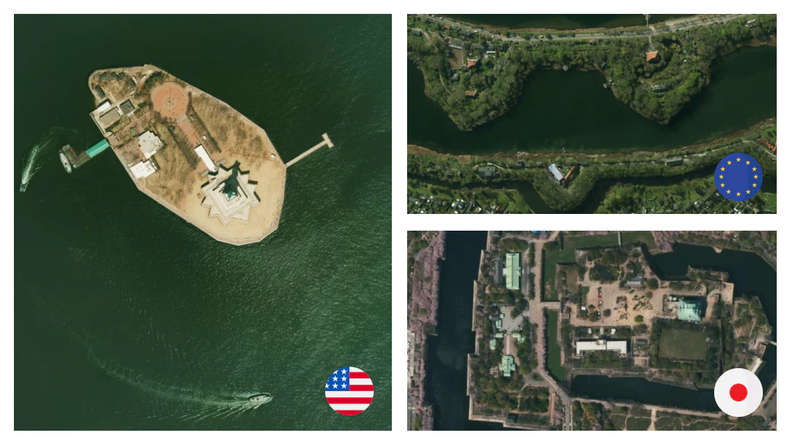
Deploy exceptional aerial imagery (up to 8cm/pixel resolution) of the USA, Europe, and Japan within your secure environment. Enable critical operations in disconnected environments, secure facilities, emergency response centers, or resource-intensive machine learning applications without external data transmission or usage limits.
Entire world on-prem
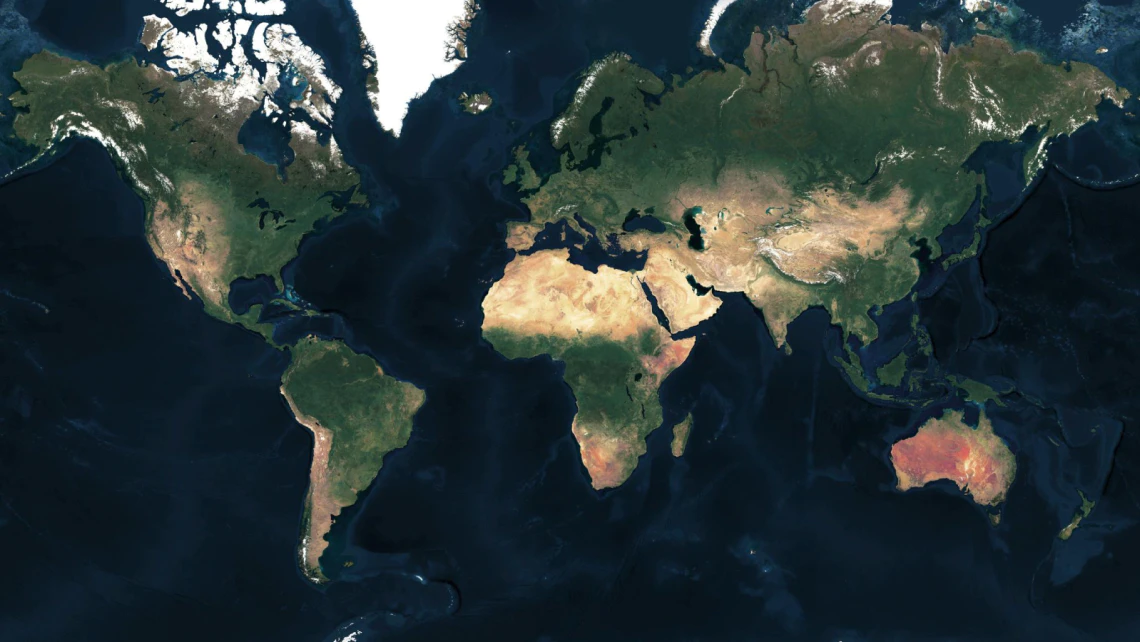
Ensure Global Coverage with Complete Data Sovereignty: Deploy cloudless, medium-resolution (10m/pixel) imagery of the entire planet within your infrastructure with sufficient detail to identify individual buildings anywhere on Earth.
Mosaic from various sources
Combine multiple satellite, aerial, and drone imagery into one color-toned map.
Add context to your aerial maps by blending street data with road networks for a hybrid map.
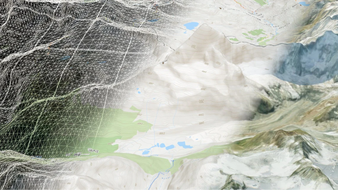
3D terrain with satellite map
Add satellite map on top of the 3D terrain to get a photorealistic views.
Use CesiumJS library to make it run in any modern web browser or mobile app.
Available as:

Raster tiles
Leaflet, OpenLayers, XYZ

Map services
WMTS and OGC Tiles API for QGIS or ArcGIS

Static maps
Image for thumbnails
Software for processing satellite/aerial imagery
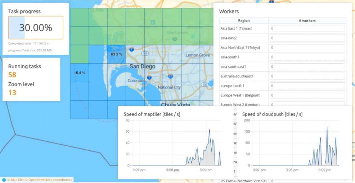
Do you have your own raster data? Process them on your computer using software with a user-friendly interface.
We also offer a scalable solution that can process petabytes of data, like aerial imagery of entire country, on a cluster of computers.
Read latest news about MapTiler Server
Try MapTiler Server now!
Available for Windows, macOS, Linux, Raspberry Pi, Docker, and Kubernetes.

