We are proud to announce MapTiler.NL, where you can find maps in the Dutch language, maps from official government data, and a contact to a technical team in Utrecht.
Maps focused on the Netherlands
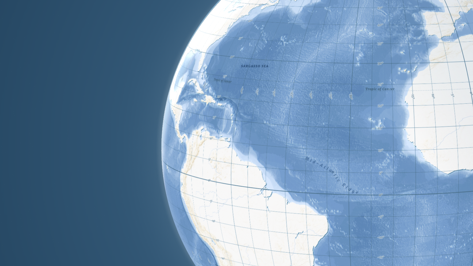
Street and satellite maps of the entire world can show country and city names in Dutch, English, or any of the 80 supported languages.
Fast loading of maps is accomplished by servers located in Amsterdam, Brussels, and another 200 data centers on 5 continents.
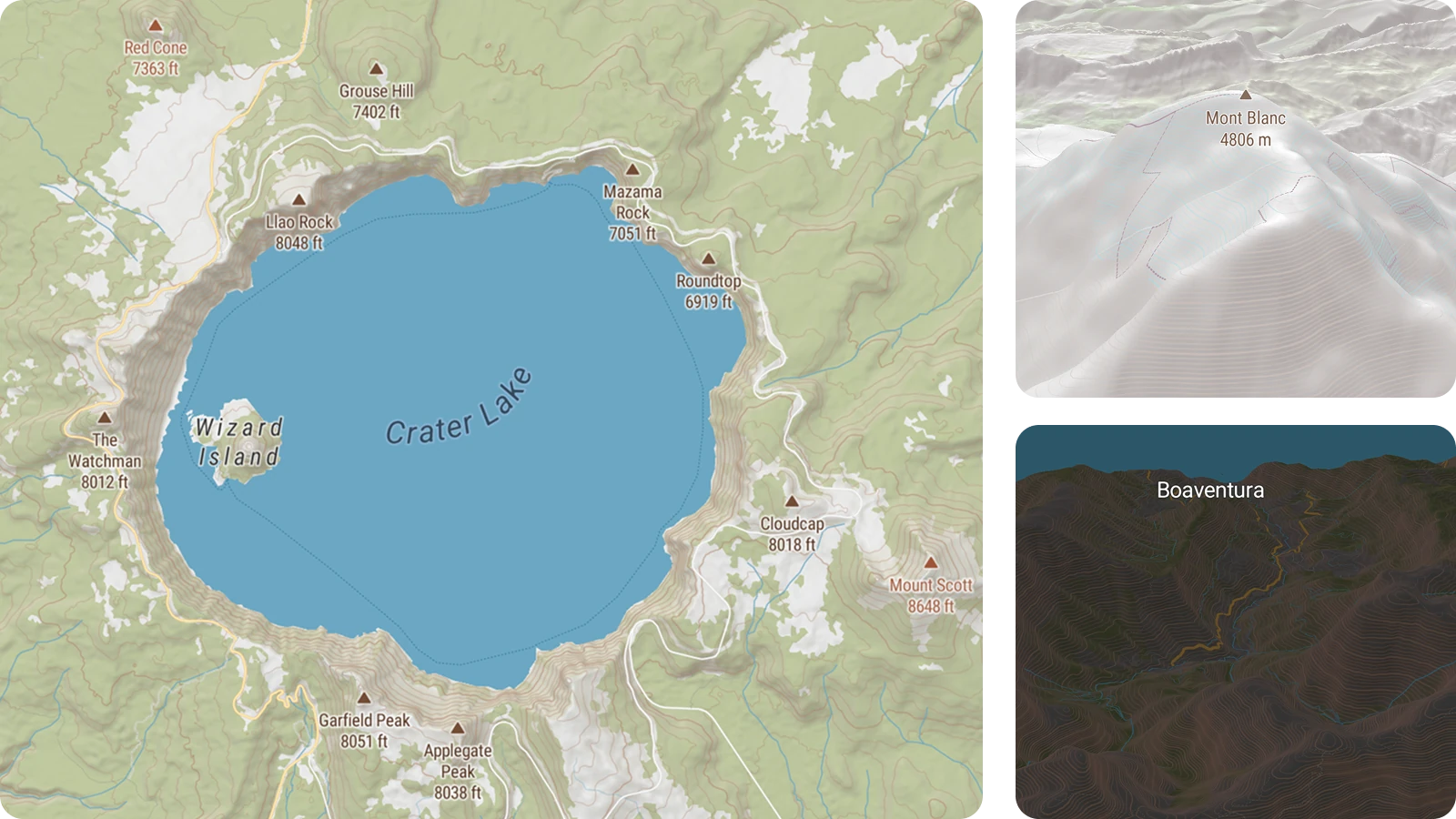
Cartiqo: vector tiles for Dutch government data
Open data from Kadaster and Centraal Bureau voor de Statistiek are used for creating Cartiqo maps thanks to a cooperation between Webmapper and MapTiler.
Vector tiles, raster tiles, web map services, and Static Maps API are available for this and any other datasets on MapTiler Cloud, including maps you upload.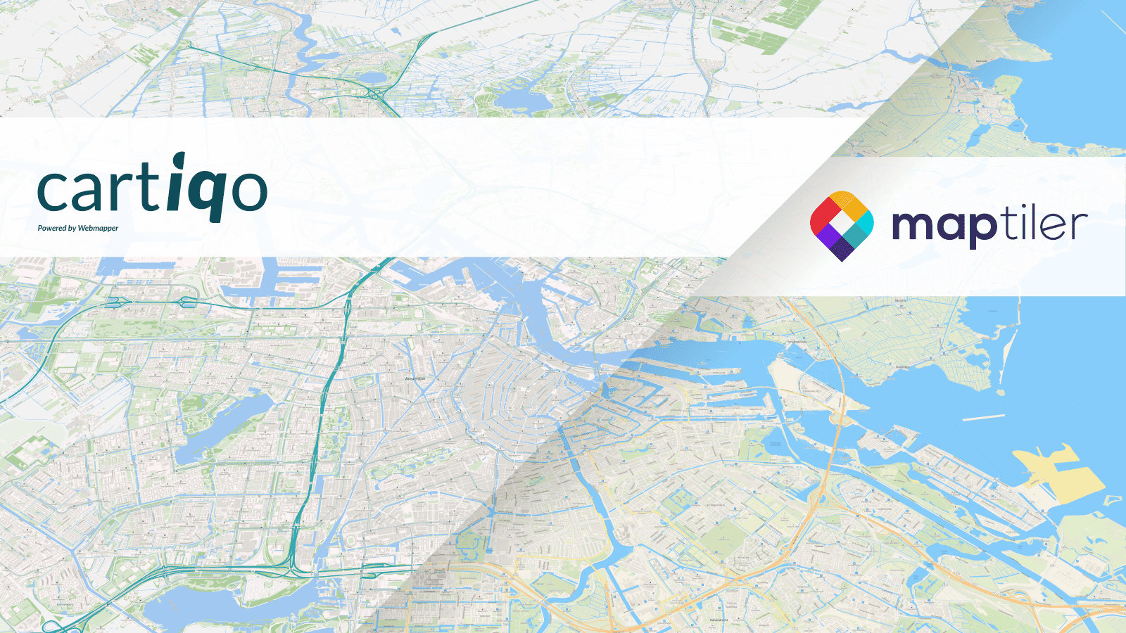 Cartiqo and Streets map
Vector tiles, raster tiles, web map services and Static Maps API are available for maps from official government data.
Generating maps in the Dutch legal reference system RD New (Rijksdriehoekstelsel/EPSG:28992) coordinate system and direct upload to MapTiler Cloud is possible with MapTiler Engine.
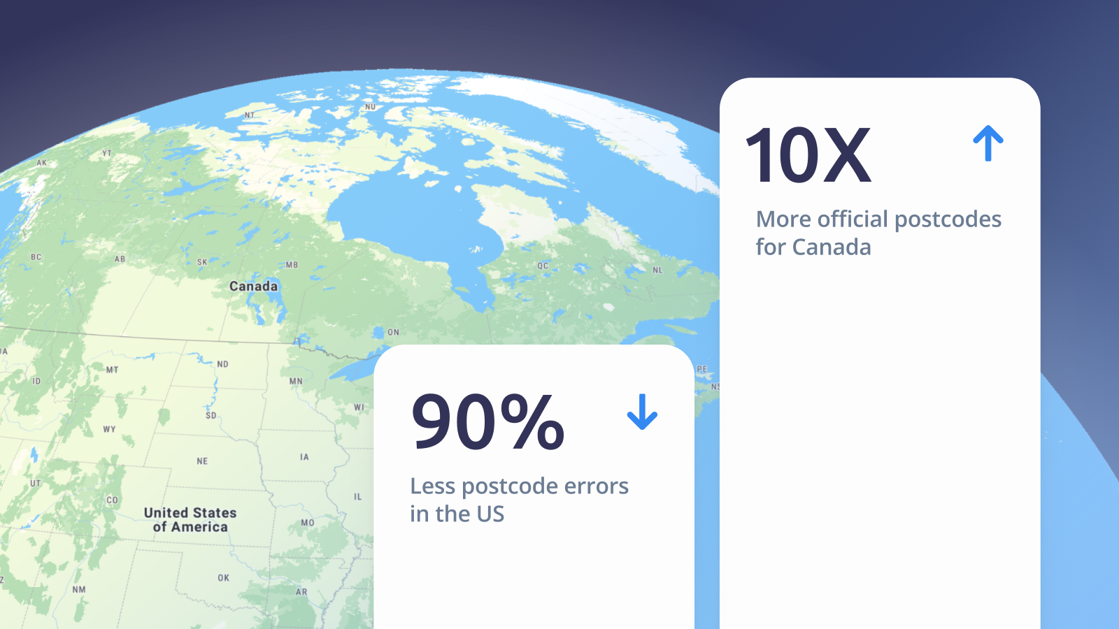
High-resolution satellite map
An extremely detailed satellite map of the entire Netherlands can be used on websites or in mobile apps.
With a resolution of 25 cm/px, you can easily spot details like separate trees, people, and, in the case of the Netherlands, individual bikes.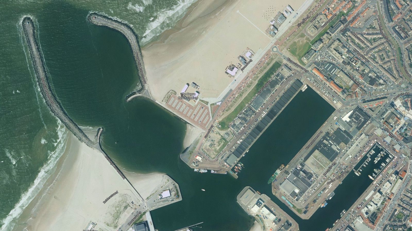
MapTiler.NL, your starting point for maps in Dutch
Create a free account to start using the MapTiler Maps API.
For special requests, contact our team in Utrecht.