Gaussian Splatting Models on Immersive 3D Maps
MapTiler GeoSplats empower you to build the next generation of interactive web map applications with photorealistic 3D world models.
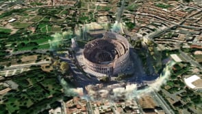
Create and publish GeoSplats in three simple steps

Upload splat models

Georeference & edit

Publish GeoSplats
Boost user engagement
Turn curiosity into engagement with photorealistic 3D maps.
Place your 3D models in their real-world context using detailed basemaps and realistic 3D terrain. Unlock the full context of every location, helping users explore and better understand its surroundings.
Customize the experience with the basemap that best fits your application.
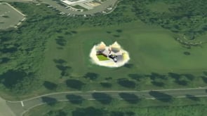
City-scale 3D models
Upload and publish everything from real estate buildings, hotel complexes, or historical and construction sites to city-scale environments.
GeoSplats are designed to handle models of any size while delivering a consistent immersive experience.
A unique LOD system intelligently adjust detail to keep exploration smooth and responsive on both mobile and desktop devices.

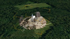
Precise 3D georeferencing
Bring your Gaussian splatting models into perfect alignment with the real world.
Create realistic experience with precise model placement on 3D terrain. Our visual 3D Editor makes georeferencing effortless, while giving you the flexibility to refine the model at any time.
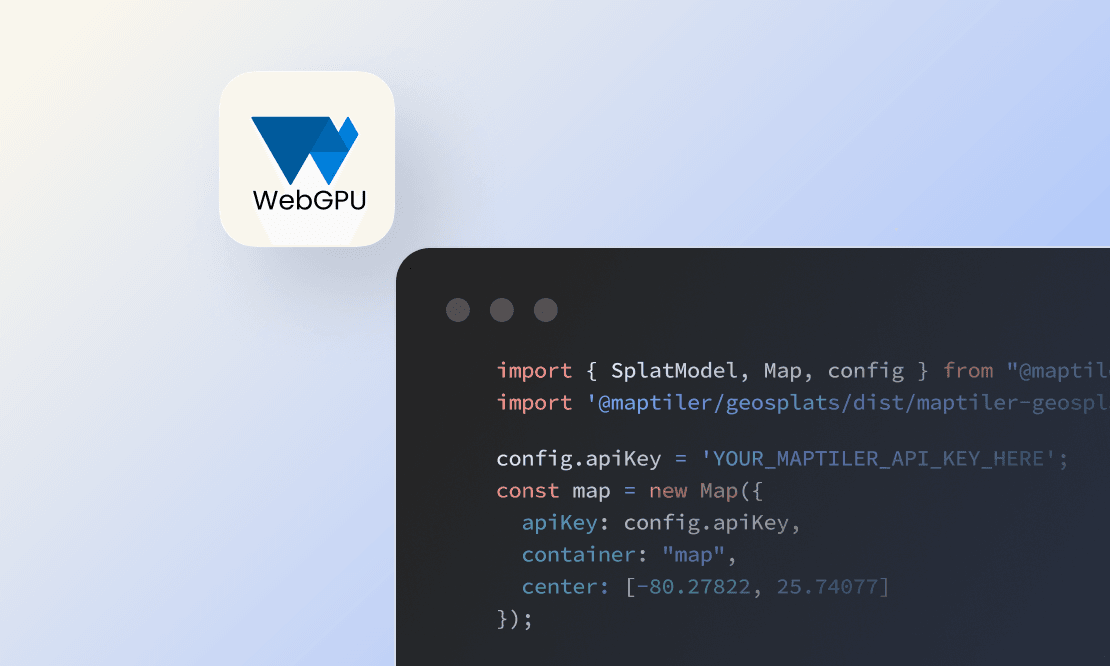
Powerful GeoSplats GPU SDK
Build interactive 3D map applications with Gaussian Splatting models a powerful GPU-accelerated SDK.
Render 3D world models with outstanding performance and visual quality.
Get started quickly with comprehensive documentation, ready-to-use examples, and an API designed for fast integration.
See GeoSplats in action
Empower your audience to understand, explore, and engage with past, present, and future environments.
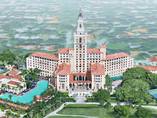
Tourism & Events
Attract tourists with photorealistic virtual explorations of hotels, resorts, event venues, and heritage sites.
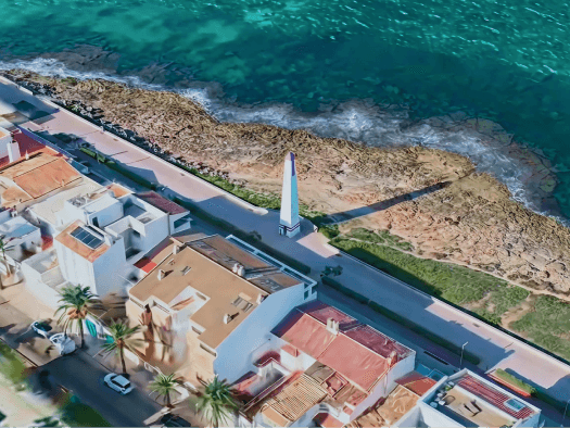
Real Estate
Excite buyers about properties while providing them with context about the neighborhoods.
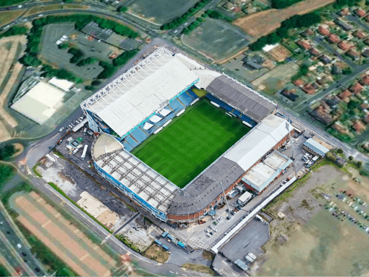
Media
Grow returning audiences with immersive 3D content that keeps them engaged.
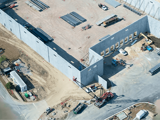
Construction
Monitor progress and showcase site evolution with the exceptional clarity of high-fidelity 3D models.
Journey towards living world models
Start with MapTiler GeoSplats for exceptional 3D visualization of world models at any scale today.
Grow with us into the next generation of spatial intelligence, AI-powered scene transformation, precise visual positioning, and interactive living world models.
Get early access to new beta features.