Header Rectangle

FOSS4G 2024

MapTiler is sponsoring FOSS4G Europe 2024. Visit our stand and come see our talks

MapTiler image FOSS4GE_light_logo_without_triangle 1.png

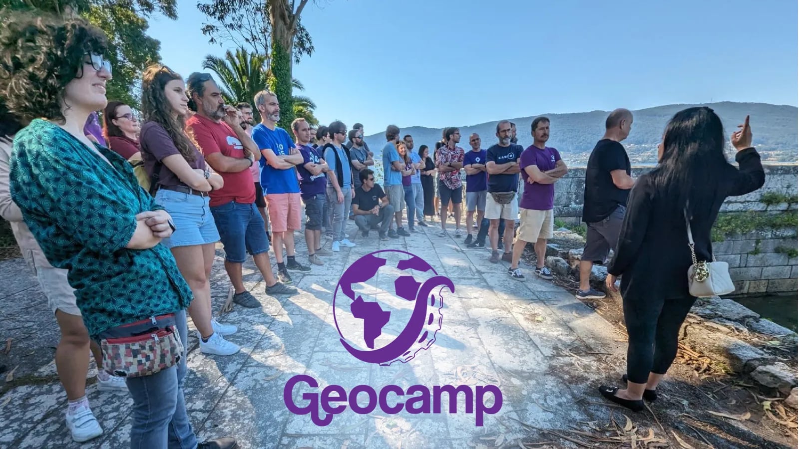
Come see us at FOSS4G

As Bronze Sponsors of FOSS4G Europe 2024 we have a stand where you can come and speak to our experts

MapTiler image peter-hanecak.png
MapTiler image maptiler-team.png

OpenSource Talks

We are giving three talks at FOSS4G. Have a look below to see which ones you want to attend. Don’t forget to speak to Jachym Cepicky and Petra Duriancikova at the B2B Event too.

Jachym Cepicky

Jachym Cepicky: Web Mapping 101: Getting started using MapTiler SDK!

Details: https://talks.osgeo.org/foss4g-europe-2024/talk/FDLWYB/

MapTiler image maplibre.svg

MapLibre 2

JavaScript library for displaying vector maps using WebGL.

www.maplibre.org
GitHub: maplibre-gl-js

Petra Duriancikova

Petra Duriancikova: Vector Tiles Cartography: Elevate your maps with JSON tricks

Details: https://talks.osgeo.org/foss4g-europe-2024/talk/NMQQUE/

MapTiler image map-of-tartu.png

Web Cartography

Find out more about customizing maps with MapTiler.

Tomas Pohanka

Tomas Pohanka: OpenMapTiles - vector tiles from OpenStreetMap & Natural Earth Data

Details: https://talks.osgeo.org/foss4g-europe-2024/talk/EHKHAM/

MapTiler image openmaptiles.svg

OpenMapTiles

Open-source maps made for self-hosting. Free OpenStreetMap vector tiles for everybody.

www.openmaptiles.org
GitHub: OpenMapTiles

MapTiler image qgis.svg

MapTiler QGIS Plugin

Vector & raster basemaps in QGIS from MapTiler Cloud. Add customized OpenStreetMap, terrain, and satellite layers with a few clicks.

qgis-plugin
GitHub: qgis-maptiler-plugin

open source community

Have a look at all the other great work we do with the OpenSource Community

MapTiler ♥ OpenSource

Blog posts about open source

GeoCamp ES group of attendees

Wladimir Szczerban / Dec 4, 2023

GeoCamp ES 2023

OpenStreetMap map style in vector tiles

Nicolas Bozon / May 4, 2022

OpenStreetMap Vector Basemaps

notification