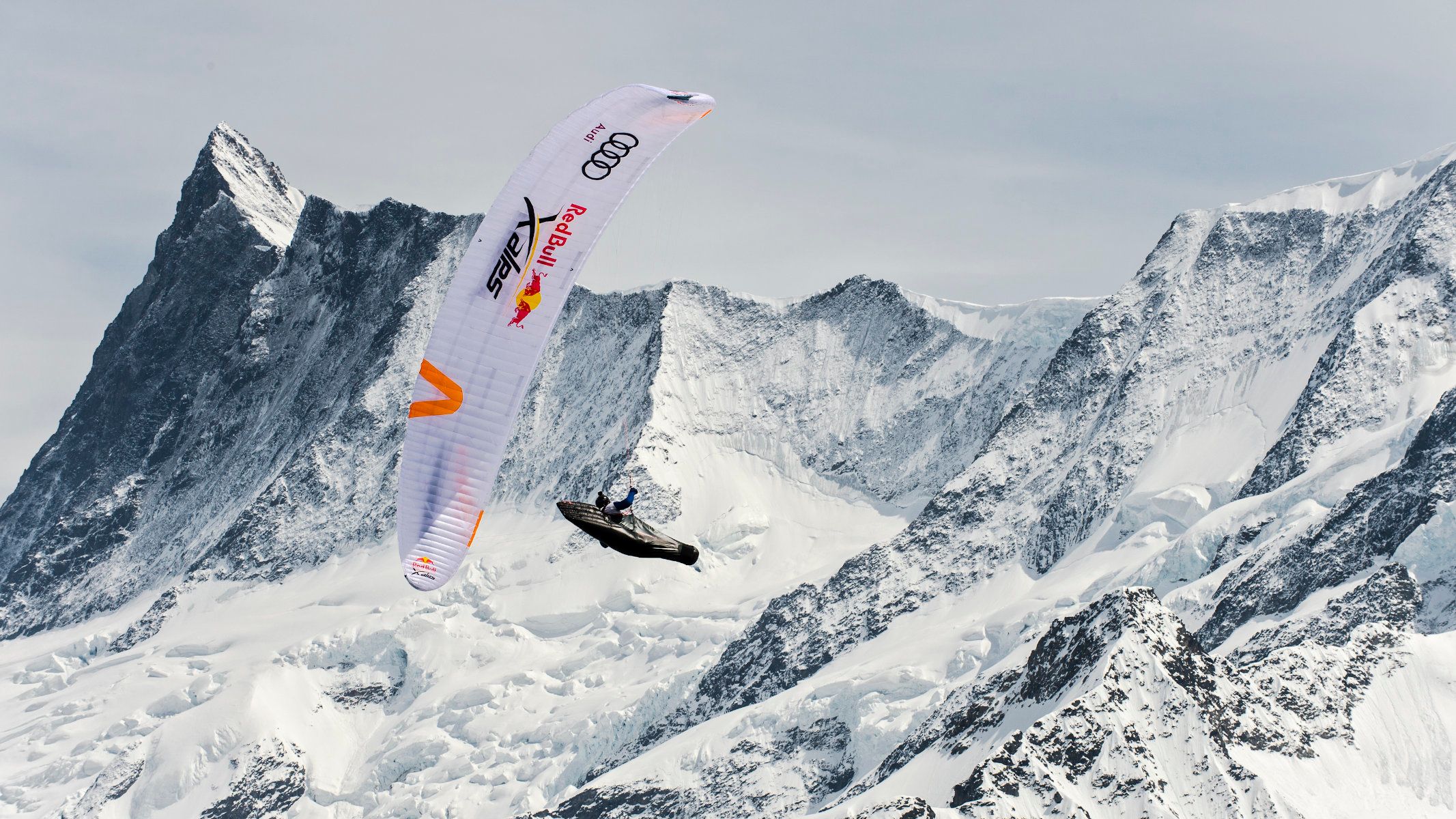
32 athletes from 20 countries, 1138 km by foot and paraglider through treacherous alpine terrain: this is Red Bull X-Alps, the world’s toughest adventure race. And MapTiler is the proud partner of the event by providing 3D terrain maps for live tracking!
From Salzburg to Monaco in 10 days
Every 2 years, athletes from around the globe navigate through treacherous alpine terrain only by running or paraglide to reach the final line 1138 km away. To see their actual position, MapTiler provides 3D terrain data for live tracking of all athletes.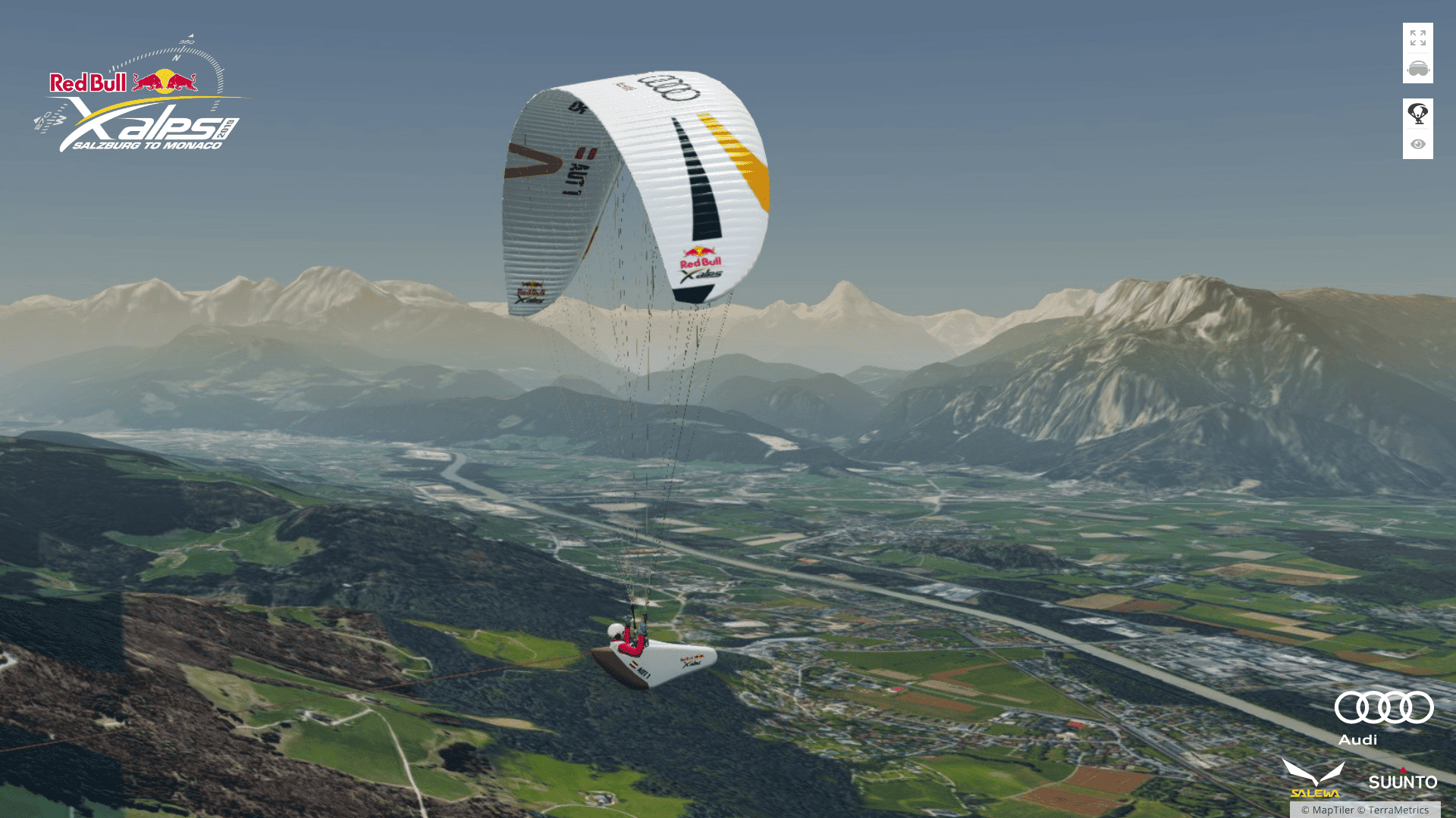 The live tracking allows everyone to follow each athlete and see details about their speed, altitude, and actual GPS position on the map. Moreover, thanks to the 3D terrain, you can watch the contestants’ journey from their point of view in a realistic environment.
3D terrain maps
Maps enhanced by 3D terrain hugely increase the realism of your application and improve the user experience. They can be combined with other geographic data like satellite imagery to achieve a very realistic view.
MapTiler Cloud provides 3D terrain from reliable global infrastructure. The most straightforward development of a 3D map is by using our JavaScript SDK.
Alternatively, the data is available for self-hosting or offline use.
READ ABOUT 3D MAPS READ DOCUMENTATION
2021 update: Our partnership with Red Bull X-Alps continued in 2021 - and we again showed the fans the views the athletes experience during the race.
2023 update: MapTiler is a proud partner of Red Bull X-Alps 2023 for the third time in a row. Go to live tracking, switch to 3D, and see the fantastic application created by organizers with our terrain data.