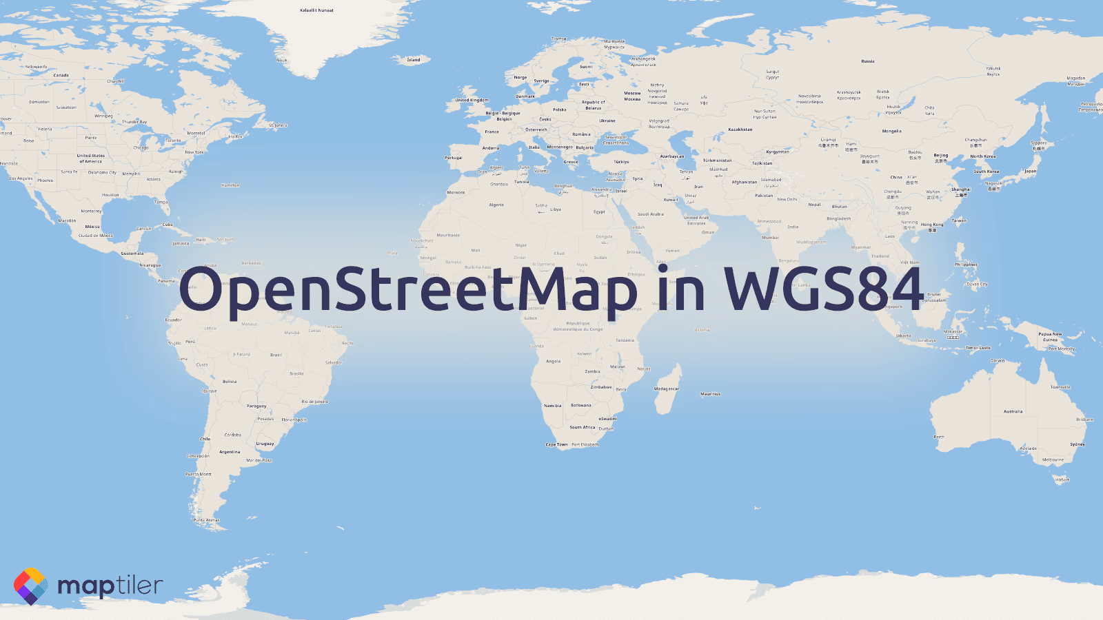
Global maps based on OpenStreetMap in WGS84 map projection are available on MapTiler Cloud via maps API. This complements the already existing maps in Web Mercator projection, which is de-facto the industry standard.
Why there are so many map projections?
Earth is not flat. Therefore, we need to mathematically solve the issue of projecting a globe into 2D space. It is possible to do in many ways, but all solutions, which are called map projections, have pros and cons.
Over time, Web Mercator become de-facto the industry standard. However, like any other map projections, it also has downsides: the most visible one is the distortion of sizes. Areas near poles are displayed much bigger while equatorial zone appears much smaller than in reality.
Various local/national coordinate systems were created because many maps were historically showing only limited territory. Therefore, they use projection which fits best to a specific territory. Local coordinate systems are still used by governments and required for official maps.
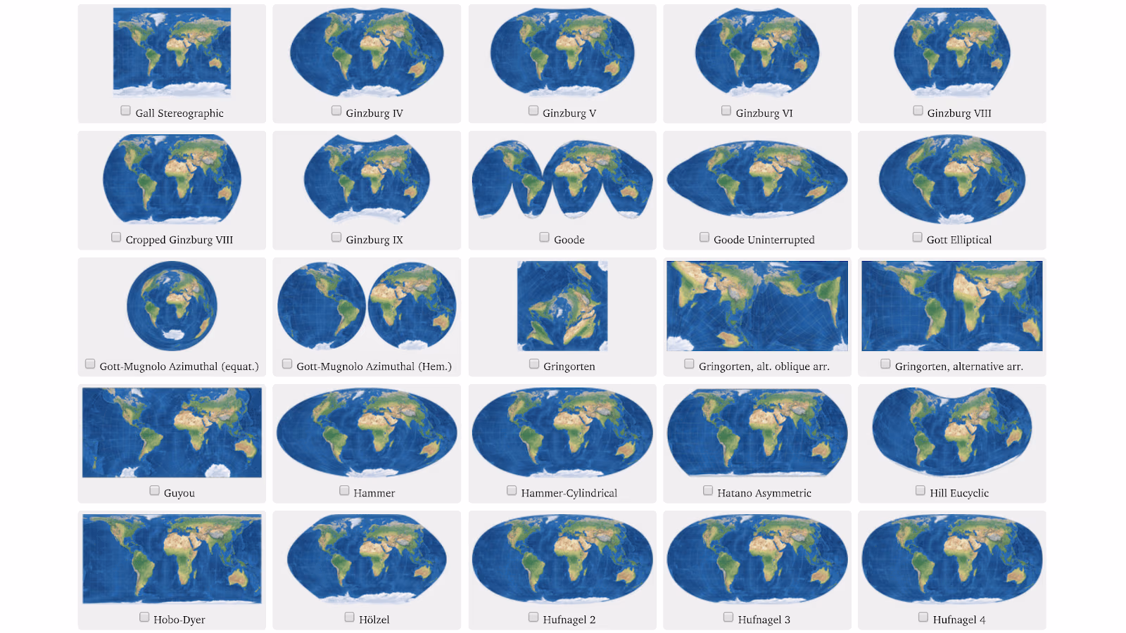
Some of the map projections. Image ©Tobias Jung CC BY-SA 4.0
Vector and raster OSM tiles in EPSG:4326
To fulfill specific needs, MapTiler Cloud is now adding base maps derived from OpenStreetMap in alternative coordinate systems. Base maps are available in WGS84.
https://api.maptiler.com/tiles/v3-4326/{z}/{x}/{y}.pbf?key={YOUR-OWN-KEY}
There is an OpenLayers 6 vector viewer code snippet, raster tiles rendered on-demand, WMTS service for use in desktop GIS software and static maps API.
Maps in Lambert, Rijksdriehoekstelsel and other national coordinate systems
From the local coordinate systems, French Lambert, Dutch Rijksdriehoekstelsel are available and many others will come soon!
MapTiler Cloud is also able to host maps in any coordinate system with EPSG code. Just upload your map in GeoPackage format or create one with the new MapTiler Desktop 10.2.

OpenStreetMap in French Lambert and Dutch Rijksdriehoekstelsel map projections
Free maps API with local coordinate systems
Start using maps in WGS84, Lambert or Rijksdriehoekstelsel for free via MapTiler Cloud.