High-resolution aerial imagery and official government map data of entire Japan is now available to the global audience via Maps API. It becomes possible thanks to a partnership with our local business partner, MIERUNE.
Aerial imagery from GSI via Maps API
Our global cloudless satellite layer now includes high-resolution aerial imagery from GSI (Geospatial Information Authority of Japan). It covers entire Japan, including all major and small islands.
Aerial imagery is rendered till the zoom level 18, which is an equivalent of approximately 60cm/pixel. To obtain the resolution, we processed 6.5 TB of raw data.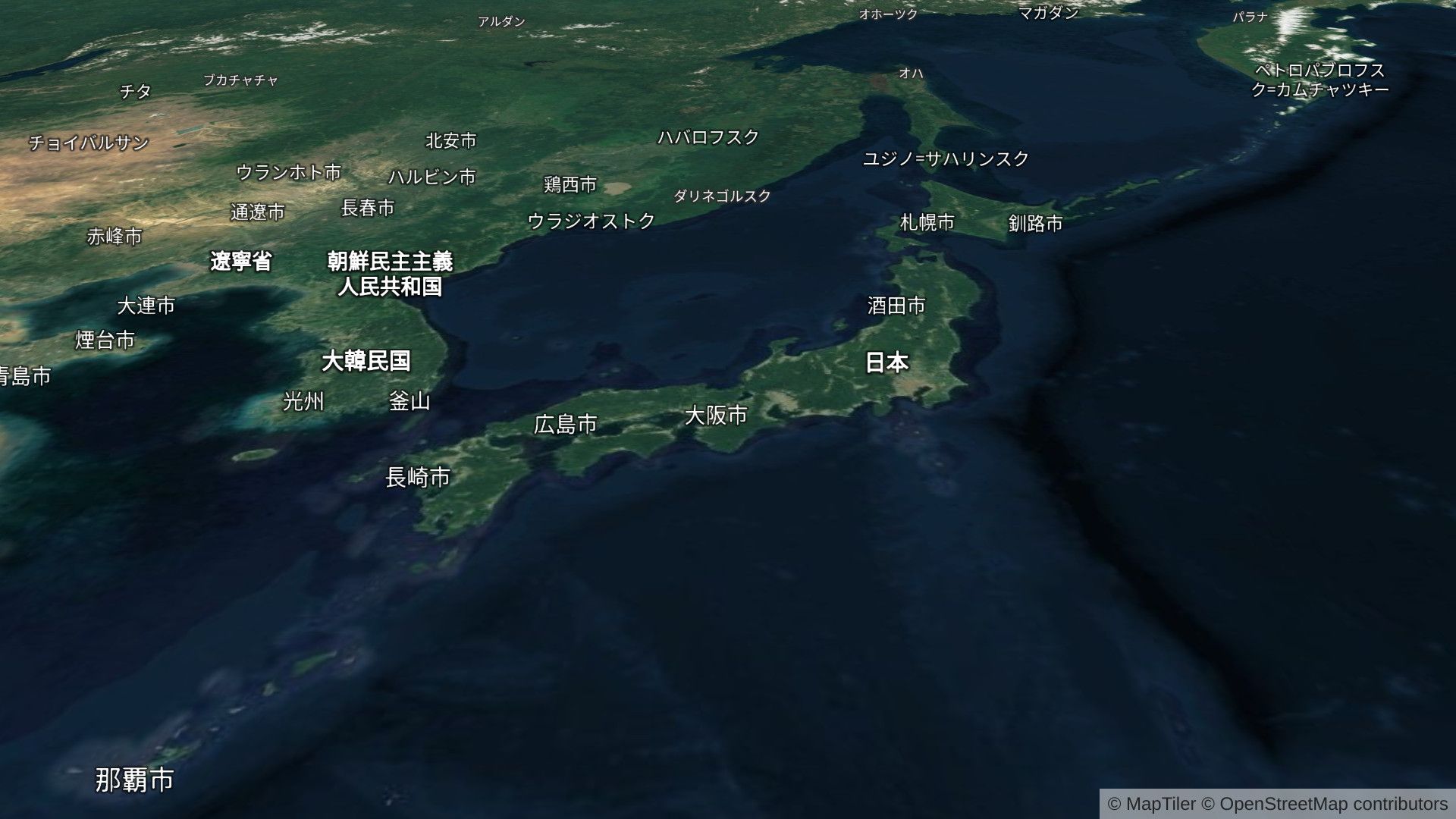 The aerial map can be used in common JavaScript libraries including Leaflet and OpenLayers or as a WMTS maps service for desktop GIS software.
Together with terrain data, it can be used in Cesium JS to create photorealistic 3D sceneries. 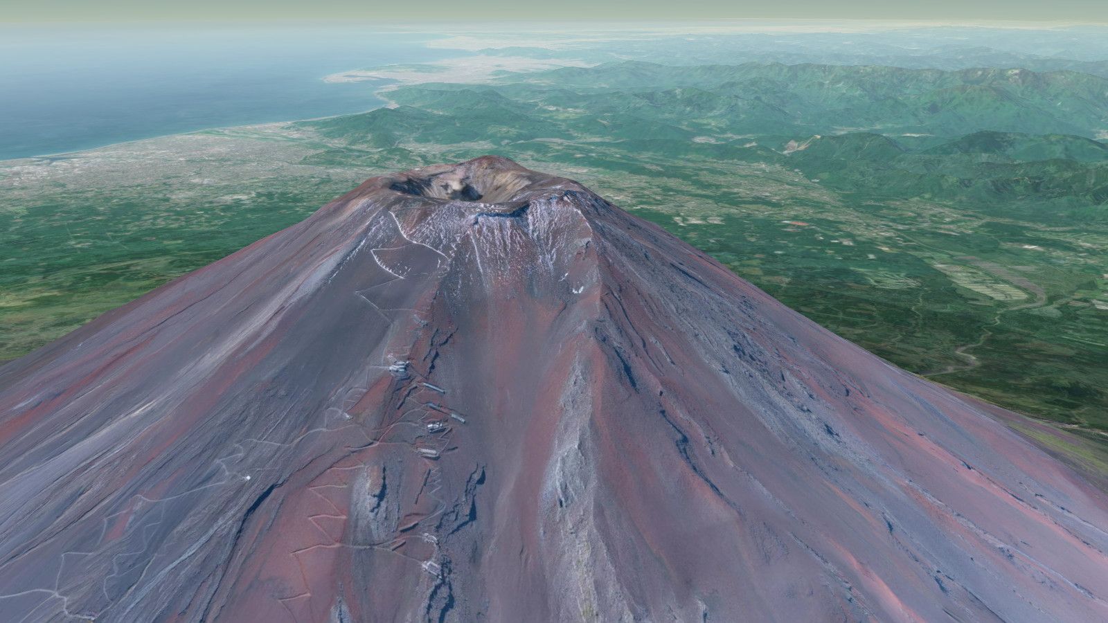
Japanese government open-data in vector tiles
For applications requiring authoritative geodata, MapTiler Cloud offers maps featuring government open-data. The building layer sourced from GSI is mixed with street data from OpenStreetMap. Final maps are available as both modern vector and raster tiles.
Maps are shipped with three beautiful designs: Mierune Streets, Gray and Dark. Crafted by ex-Apple cartographer Toru Mori from MIERUNE, they are based on the tradition of Japanese cartography.
Apart from the GSI-based maps, users can still use maps made from OpenStreetMap.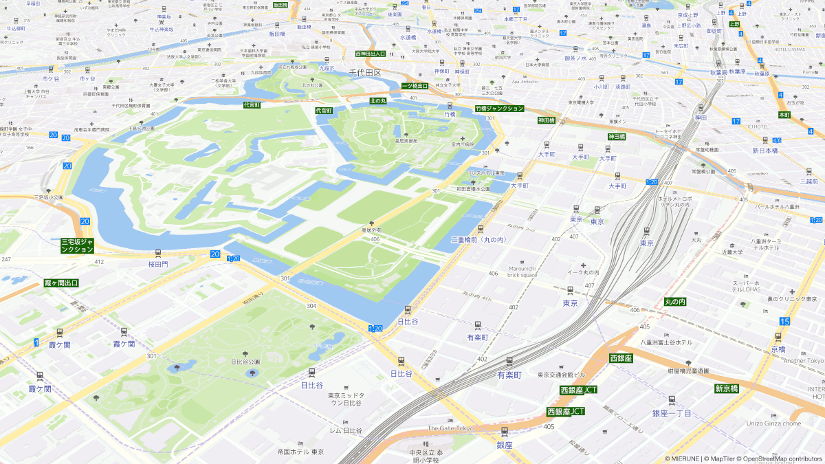 To see all available offerings for the Japanese audience, visit maptiler.jp.