We have updated the MapTiler QGIS Plugin to version 3.0. The plugin has even more maps, including a fully functional terrain layer. The plugin is one of the easiest ways to get vector basemaps into QGIS from the cloud. Now we have added a terrain layer in a way that allows you to use it like a terrain data file on your hard drive!
All you need to get started is a free MapTiler Cloud account and the latest version of QGIS, 3.24 Tisler, with the plugin. The MapTiler plugin provides access to fantastic vector and raster basemaps. The best bit is that you can customize these basemaps using QGIS’s powerful cartographic functionality.
CREATE AN ACCOUNT HOW TO USE THE PLUGIN
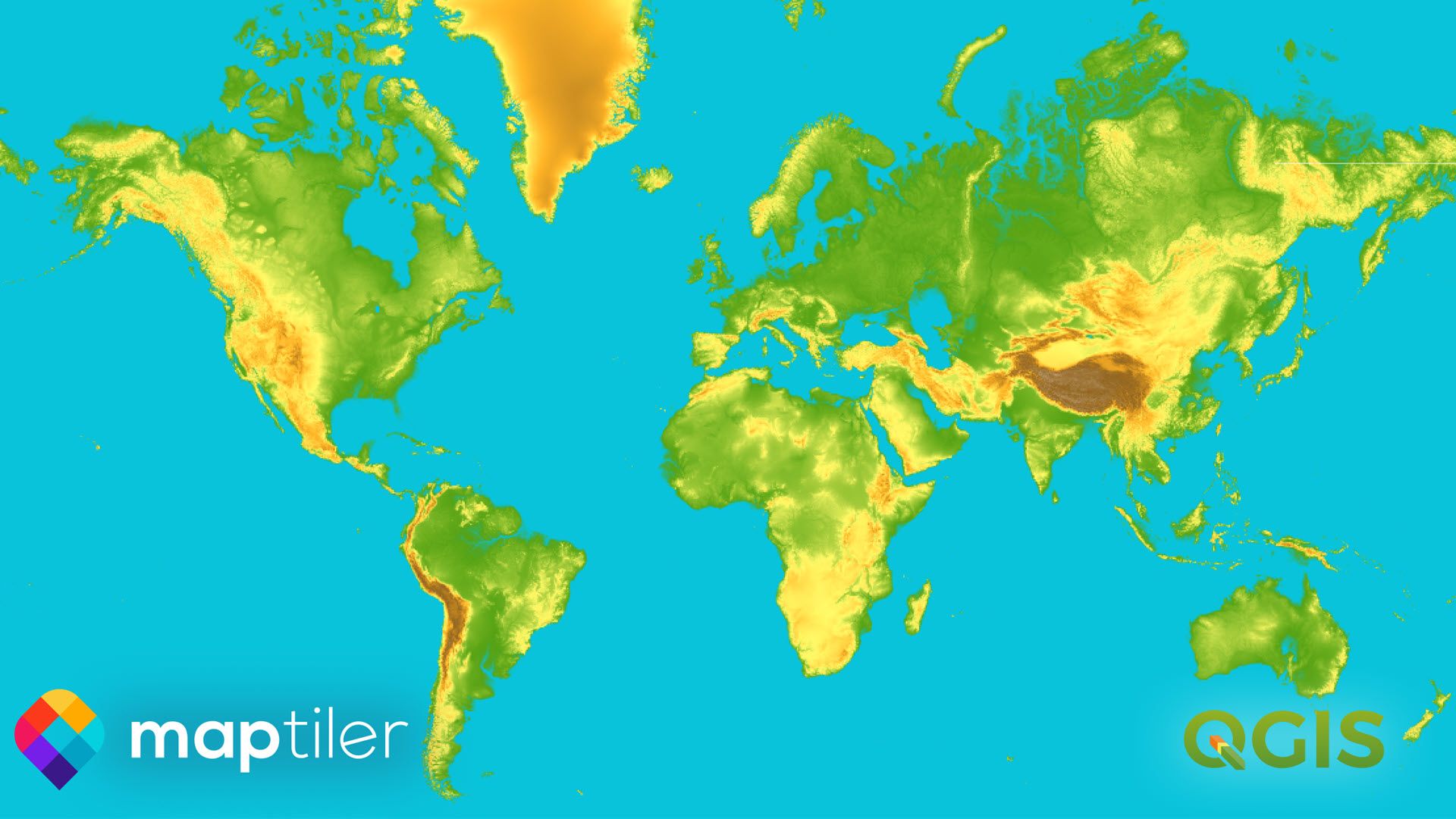
Terrain basemaps in QGIS
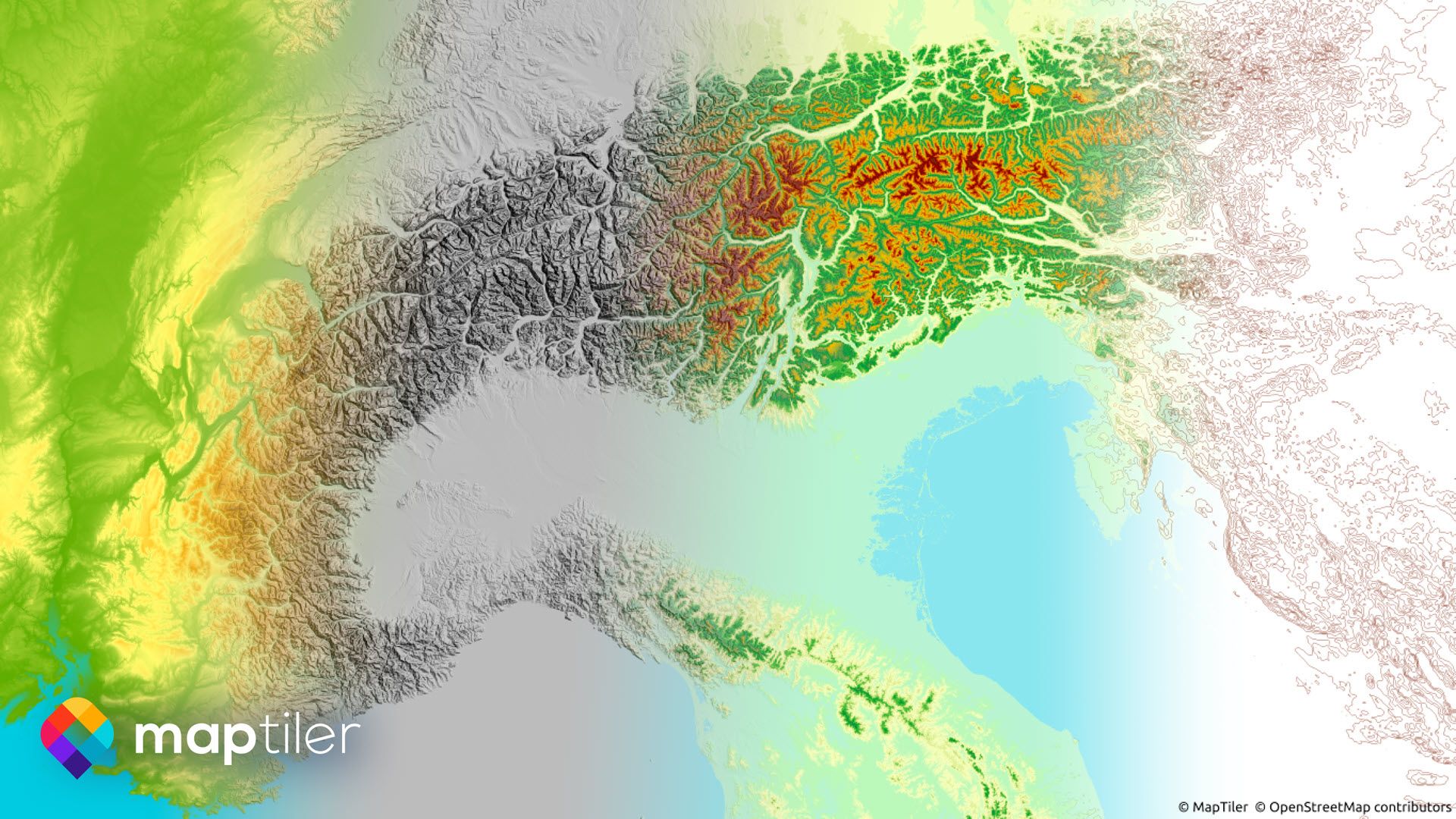 With a few simple clicks, you can now add a digital elevation model (DEM) for the entire planet. You can use the layer for hillshading, hypsometry, analytical applications, and even 3D terrain modeling.
Before the release of QGIS 3.24 it was not possible to access data like the Terrain RGB Tiles provided as part of the MapTiler Cloud service. To put this right, we teamed up with Lutra Consulting to enable QGIS to do this. Now, the community has benefited from the development and the plugin can give easy access to our terrain data!
Lutra Consulting is one of the core QGIS contributor, with expertise in delivering XYZ, WMTS and vector tiles support to QGIS. MapTiler have previously collaborated with Lutra delivering Vector tiles via the MapTiler plugin.
New vector basemaps for QGIS
Along with all the styles in the previous version of the plugin, there are three new ones now available. You can use the Browser toolbar to add the most frequently used maps with a single click. If you right-click on the Plugin title you can access more from your MapTiler Cloud account.
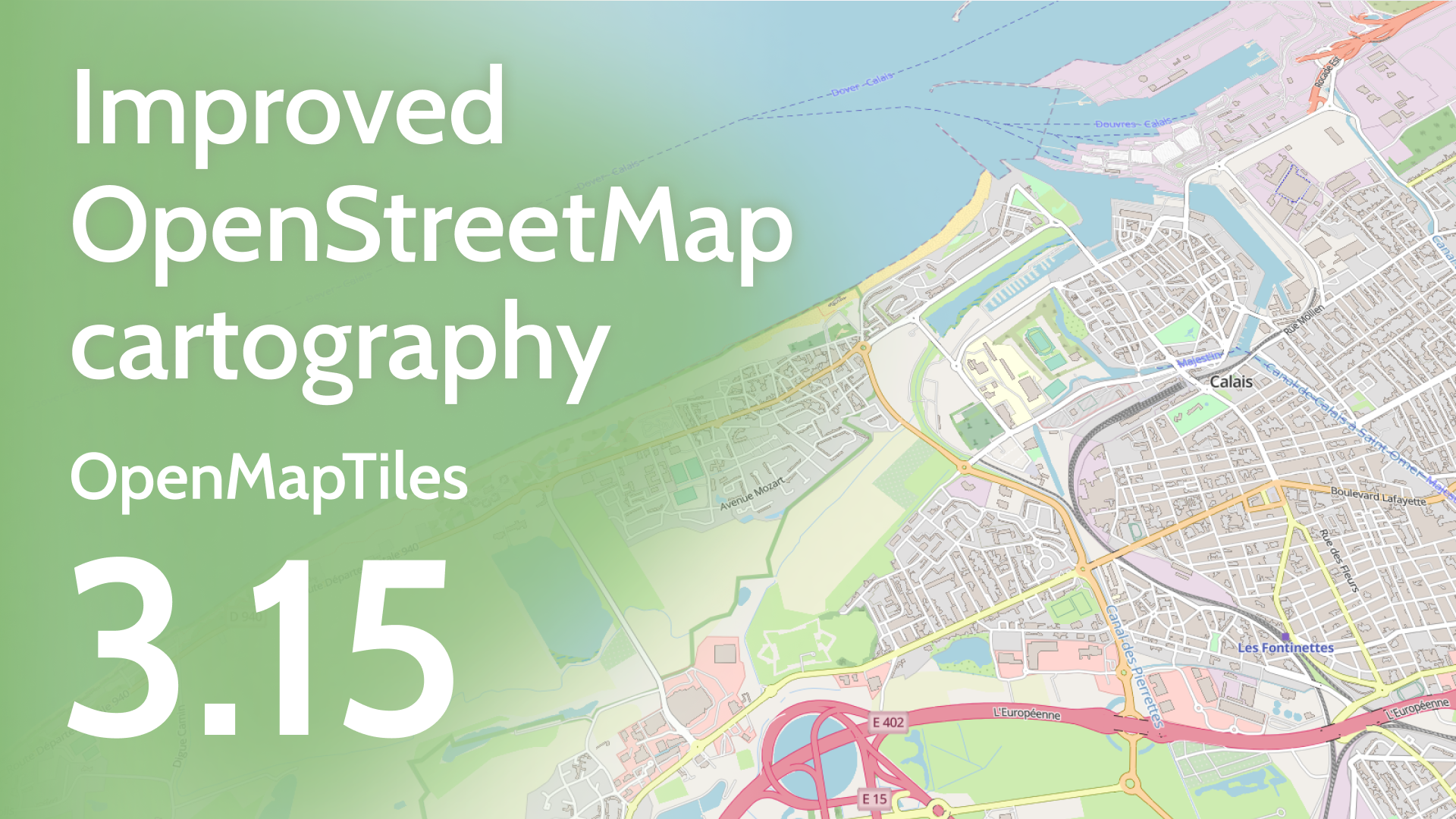
OpenStreetMap style vector tiles
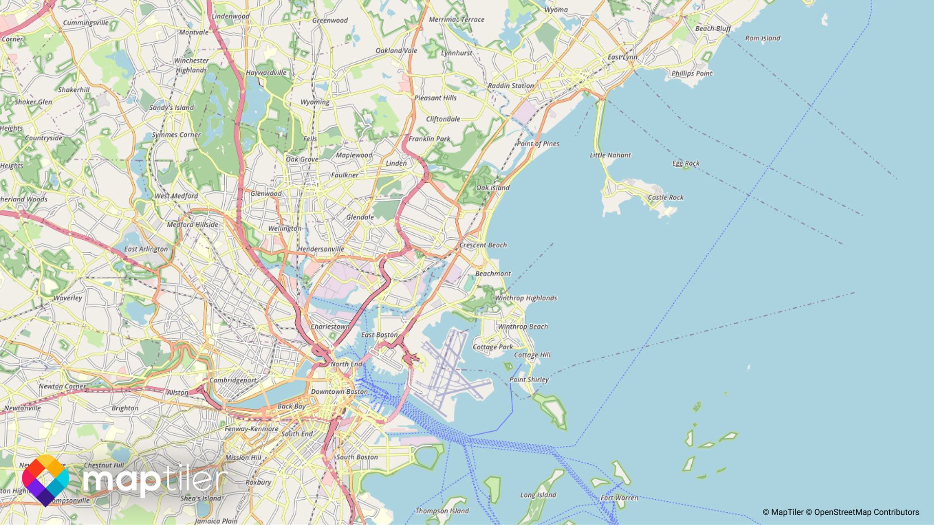 Customize OpenStreetMap by adding the vector tiles from the plugin with a few clicks. You can then edit the cartography from the symbology pane like a regular vector layer. The maps are based on the popular OSM Carto styling, and now you can make changes in the QGIS environment.
Winter basemaps
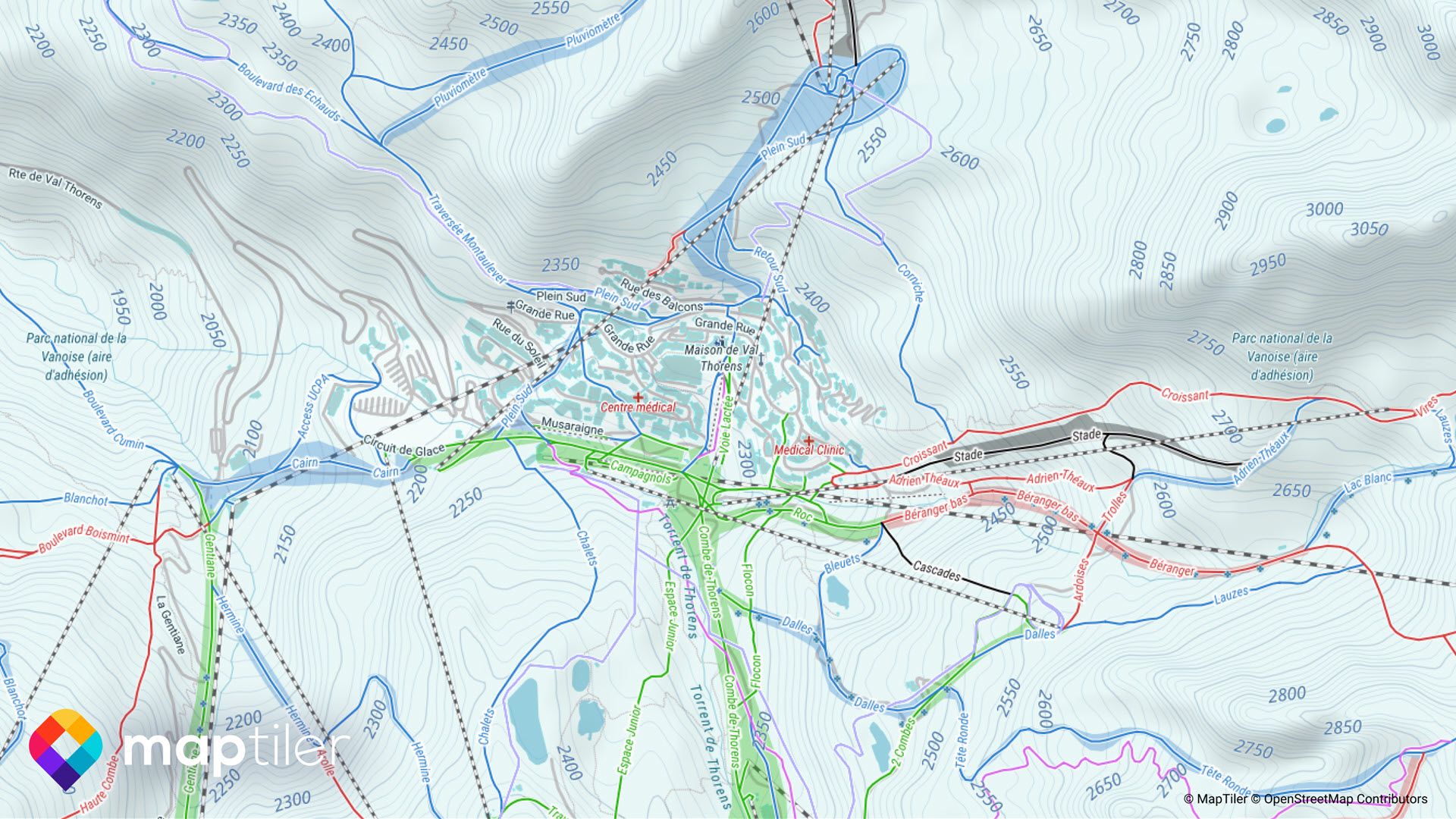 Map the routes you took while out skiing, cross-country skiing, hiking, or other winter activities. Add your GPS track data onto our new Winter basemap in QGIS. The basemap shows ski-resorts with chair-lifts, gondolas, and ski runs. You can even see ski areas shown colored by their difficulty. Hillshading gives you an idea of the terrain, and there is even avalanche information marked on the map. Points of interest such as bars and restaurants come in handy after a day of skiing.
The Winter map is available if you right-click on the Plugin, select Add new map… then go to the MapTiler Cloud tab.
Satellite basemaps
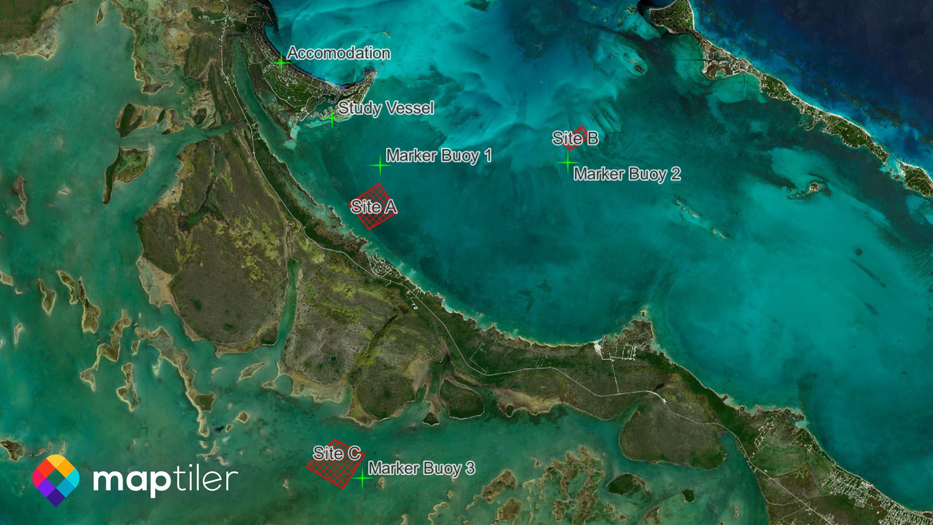 We have added our beautiful new satellite imagery as a layer to the plugin. Now you can show your data along with the stunning natural beauty of planet earth. The previous version, which included OpenStreetMap roads, is now called Satellite Hybrid.
To access the hybrid layer right-click on the Plugin, select Add new map… and go to the MapTiler Cloud tab.
Improved security
We have made the plugin more secure by using tokens instead of API keys to authorize your account. The token is encrypted and isn’t exposed when creating webmaps or sharing QGIS projects. This makes the plugin more secure and prevents others from misusing your account.
Getting your token
First, you will need a MapTiler cloud account which are free to set up and use for non-commercial purposes. Use the following link to sign up or sign in; the process is very simple and only takes a few minutes: Create Account. Once signed in, go to your MapTiler Cloud Account page, and click Credentials on the left of the interface. Click on the New Credential button and copy the token (keep this token private – treat it the same way as a password).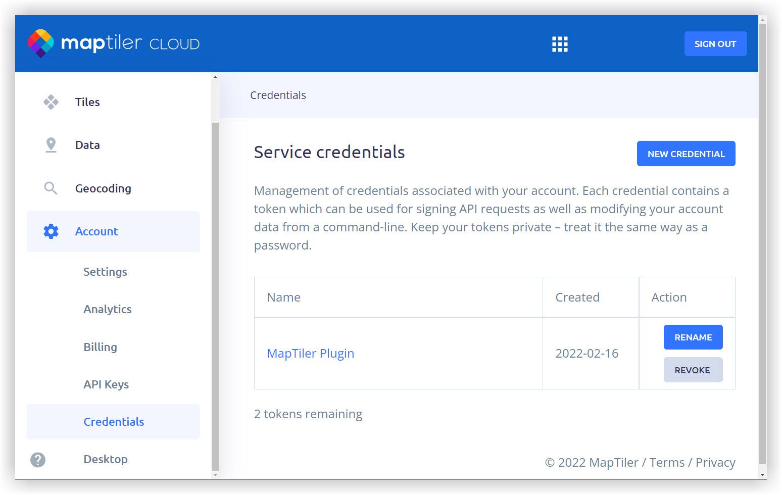 In the MapTiler plugin, paste this token into the account dialog…
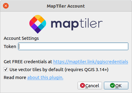
After you paste your token, it is saved in your QGIS Authentication database, which you can control using the Authentication manager in the QGIS Options… menu.
If you haven’t used QGIS Authentication manager before, QGIS will ask you for a master authentication password. The master password is used to protect all your connection details and is used by other plugins such as Mergin. You can find out more here: QGIS Docs: Authentication Database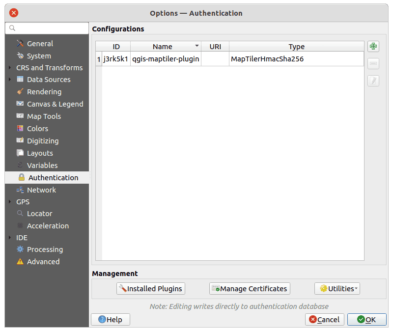 Don’t worry if you already have maps set up with the API key, they will continue to work!
Helpful messaging
Finally, we have also implemented more helpful messages passed through from MapTiler to QGIS. So if a map doesn’t load due to an expired or invalid Token you get this information and a link to where it can be fixed, rather than a generic fail message.