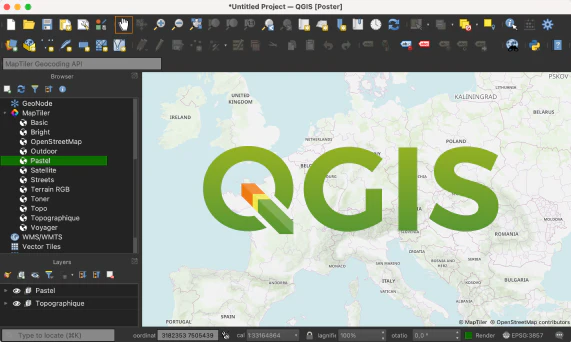
Basemaps in QGIS from MapTiler Cloud. Add customized OpenStreetMap, terrain, and satellite layers with a few clicks.
The plugin is available directly from the “Official” QGIS Plugin repository. Installation can be done in a few easy steps.
The source code of the plugin and issue tracking is available from the GitHub repository.
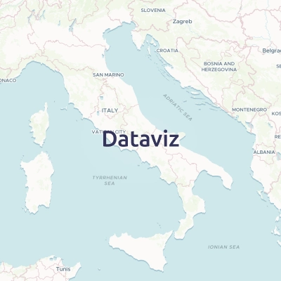
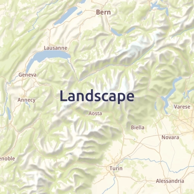
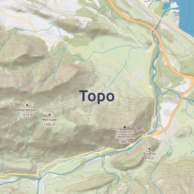
Vector basemaps are made of curated OpenStreetMap and other open data.
Together, they create a unique base map with great details worldwide.
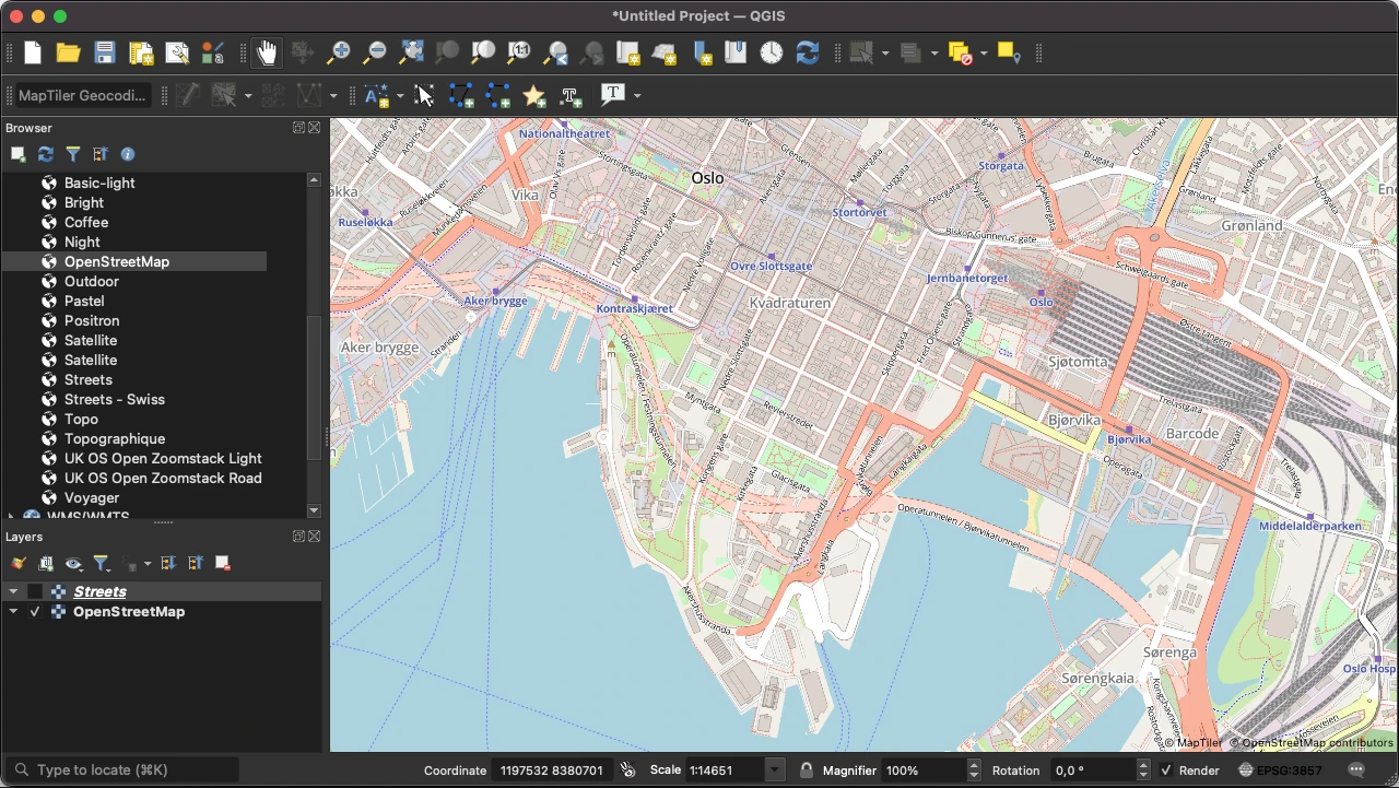
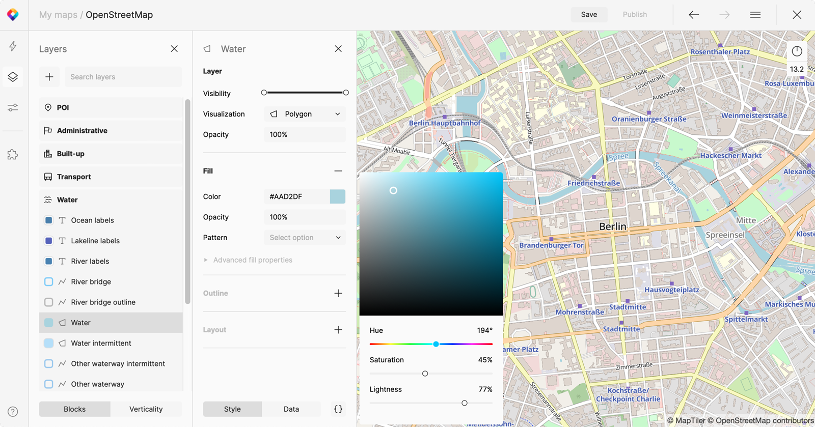
Add OpenStreetMap as vector tiles to your QGIS project. Export maps as SVG or PDF with the Print Composer for sharp printing.

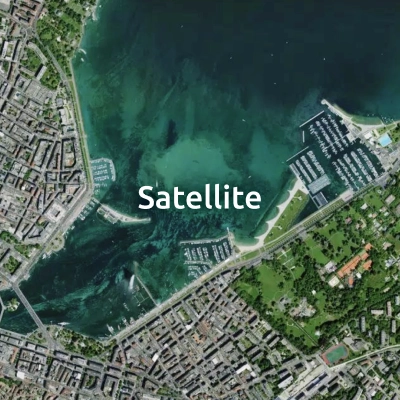
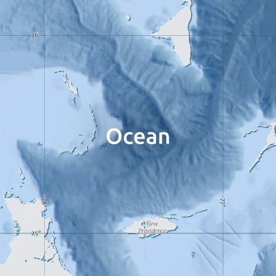
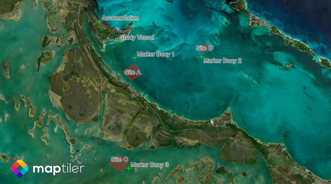
Use our cloud-free satellite imagery as a stunning background to your data.
Zoom in into high-resolution aerial imagery in Europe, the USA, and Japan.
Maps from the plugin come from the MapTiler Cloud platform.
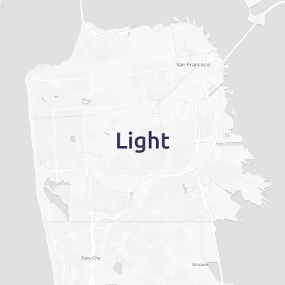
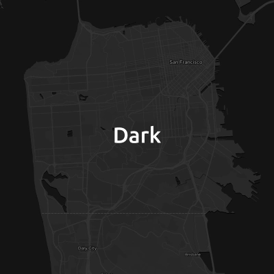
Customize the look & feel of maps, add your own data, and host on our reliable infrastructure.
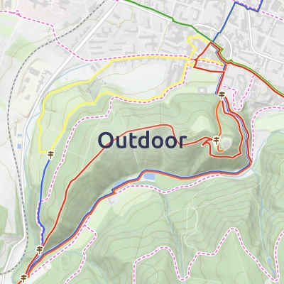
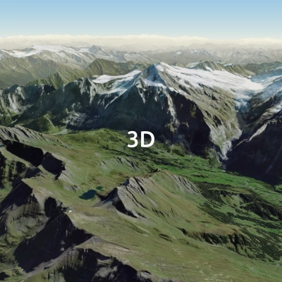
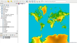
Add terrain data for anywhere in the world to QGIS. Use the terrain for:
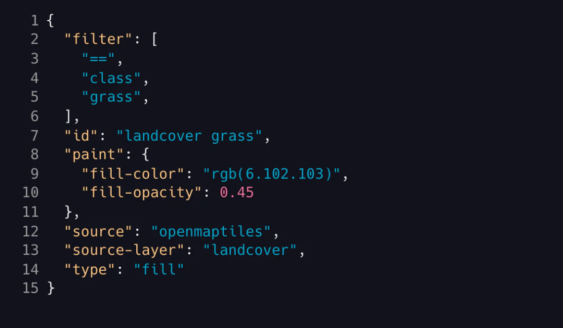
Use the plugin to load any map defined with Mapbox GL Style specification - from a URL you provide.
Add more raster external sources with a link to TileJSON. It is also possible to open maps.