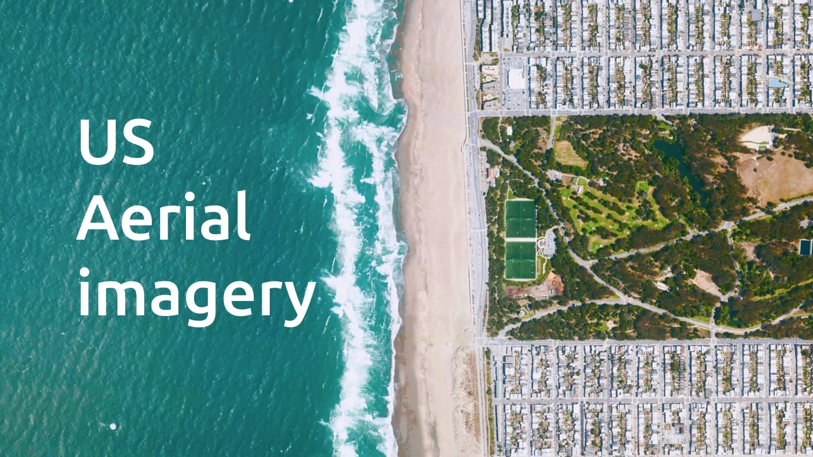
Updated aerial images have been added to the MapTiler Cloud and Data services this year, covering entire countries such as Italy, Spain, Portugal, and New Zealand in pixel resolutions up to 4cm! The imagery can be as recent as 2021 for parts of New Zealand and Spain.
The Czech Republic has also had updates to the south of the country, meaning that Brno is now covered at 10cm per pixel. Belgium, Slovakia, and Estonia were also updated relatively recently, with resolutions up to 10cm and dates as recent as 2021.
To find out how current and detailed our imagery is, see the table on this page.
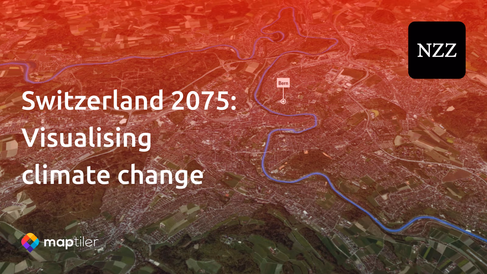
We’ve selected a few highlights from the aerial maps here:
Satellite & aerial imagery in one layer
Zoom seamlessly from MapTiler’s beautiful satellite imagery into aerial imagery, by adding the Satellite layer from MapTiler Cloud. You don’t need to add multiple layers to your maps. We have done all the color toning and blending work to ensure users get the best experience as they zoom in and out.
Add the imagery layer to your maps
With MapTiler Cloud, you can easily add aerial images as a backdrop to your data or as a Hybrid map with streets and placenames. Imagery is perfect for enabling users to pinpoint locations such as buildings and intersections, or for seeing what the natural environment is like in an area. Click on the links below to get started.