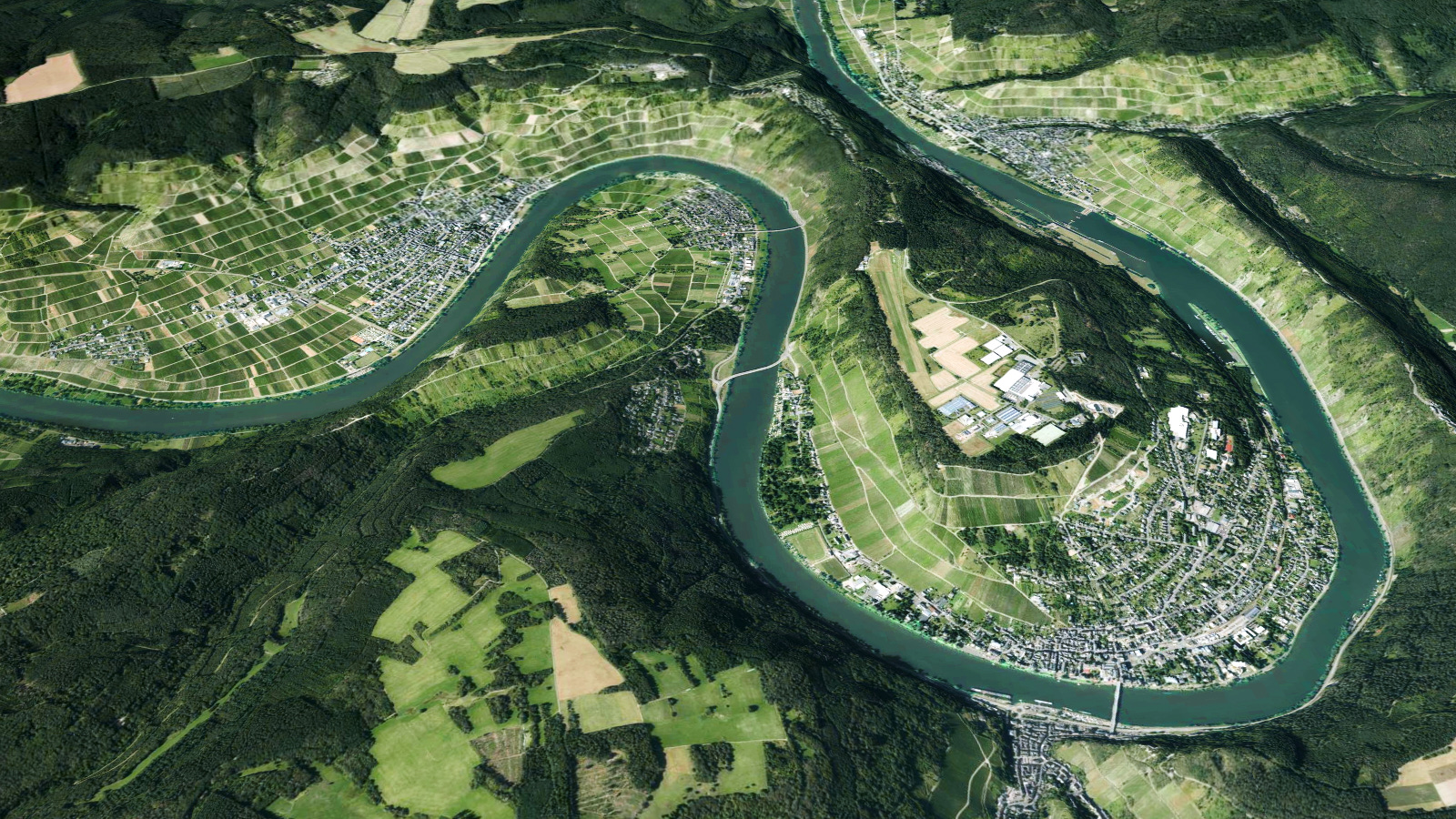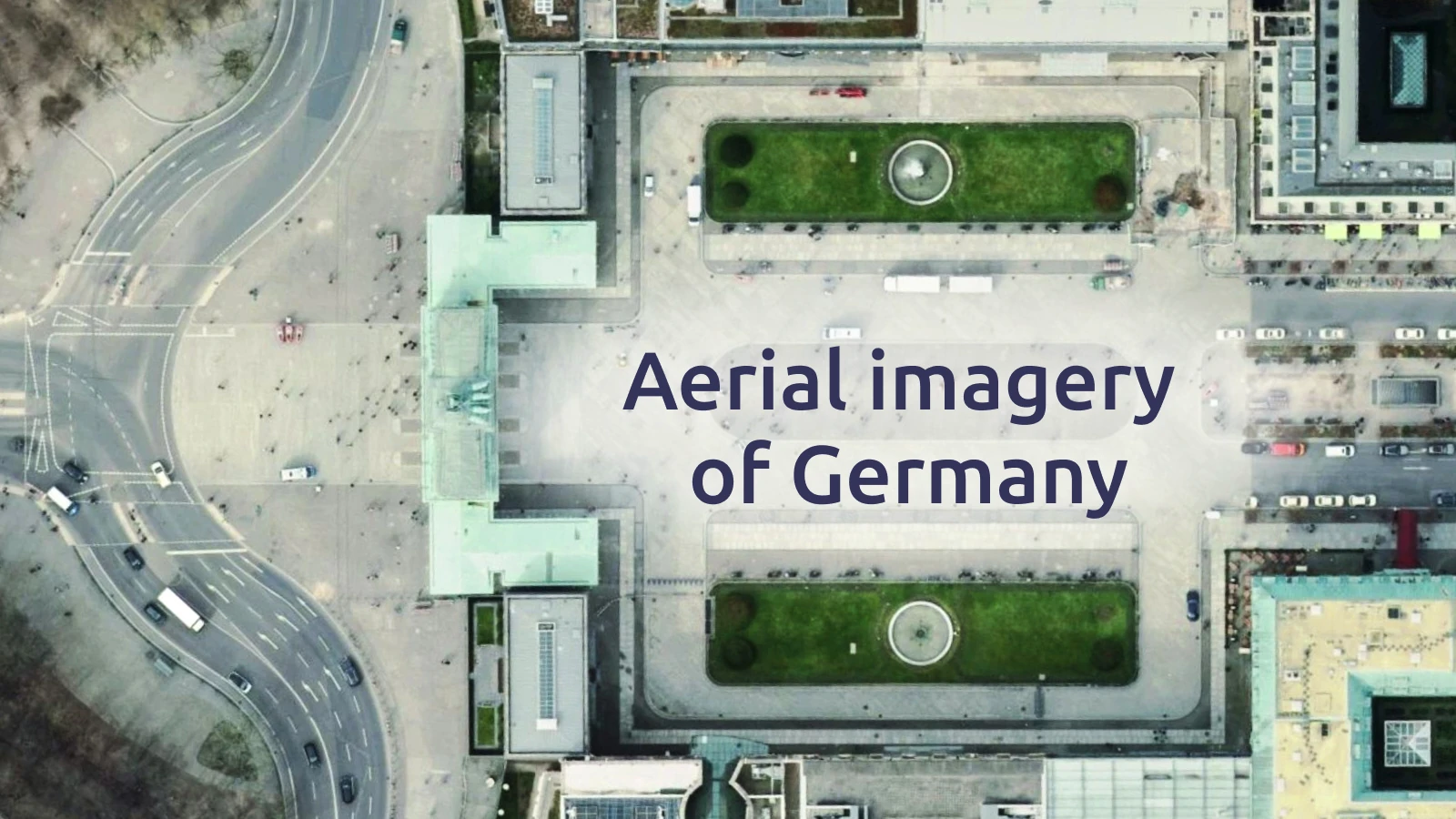
Germany’s satellite map has been updated with crisp, high-resolution aerial imagery from recent years. The improvements bring unmatched clarity and coverage to the entire country, whether you're zooming into dense cities or exploring rural landscapes.
Satellite imagery in 20cm/px resolution
The new data offers a stunning 20 cm/pixel resolution across Germany. This level of detail allows you to see individual trees in Munich’s Olympic Park or even count umbrellas on the beaches of Sylt.
The imagery is seamlessly integrated into MapTiler Satellite, delivering sharp visuals for basemaps.

Coverage from 2023–2024
Most of the country is now covered with aerial imagery from 2023 and 2024, representing the freshest available data. A few regions include data from previous years, but nothing older than 2021, ensuring a highly current map experience across Germany.