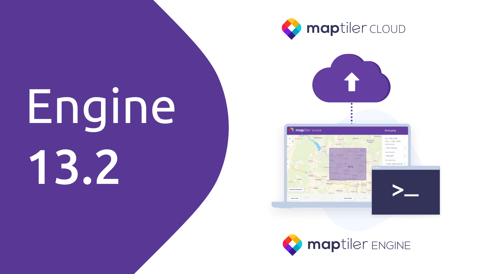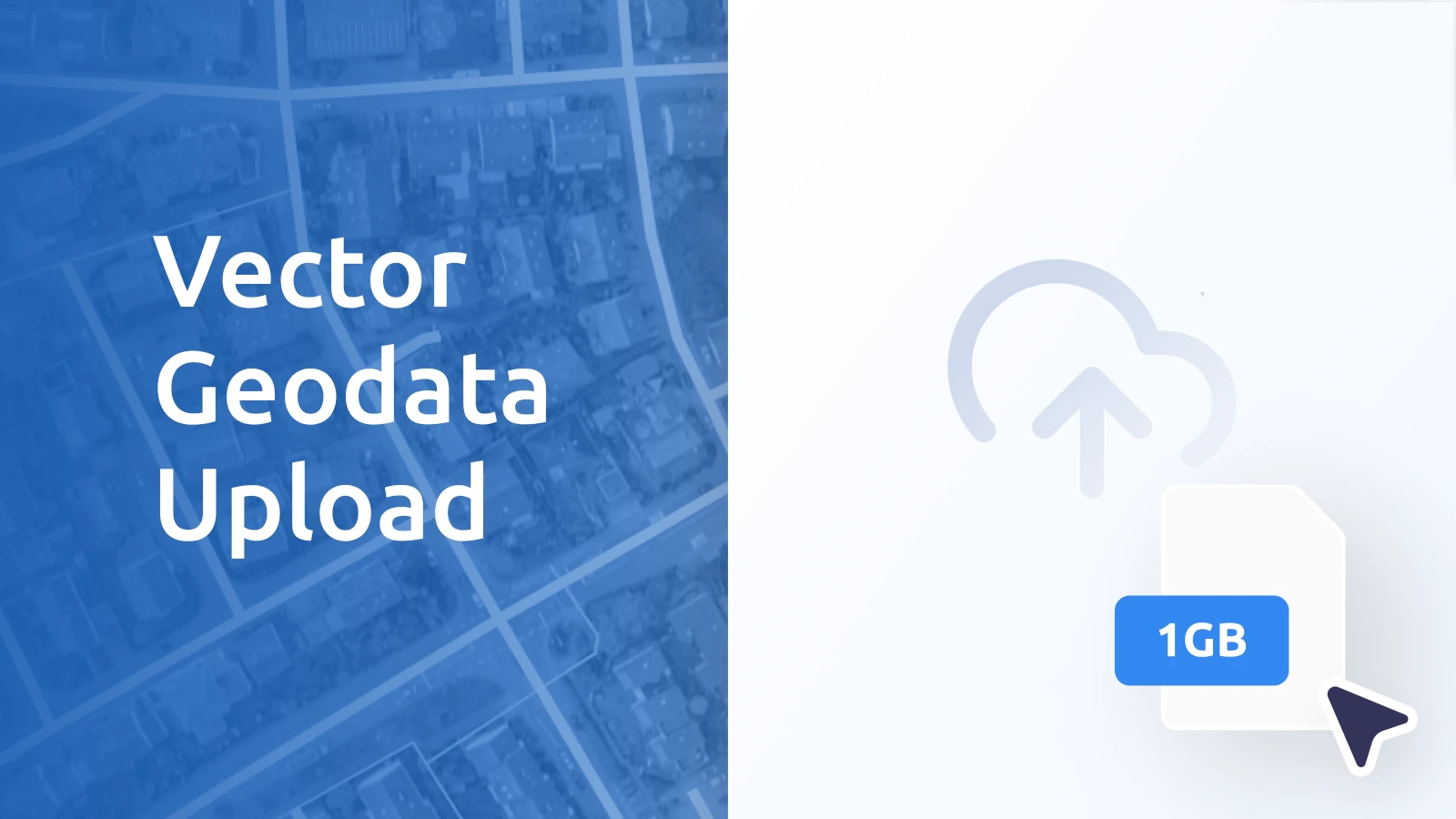
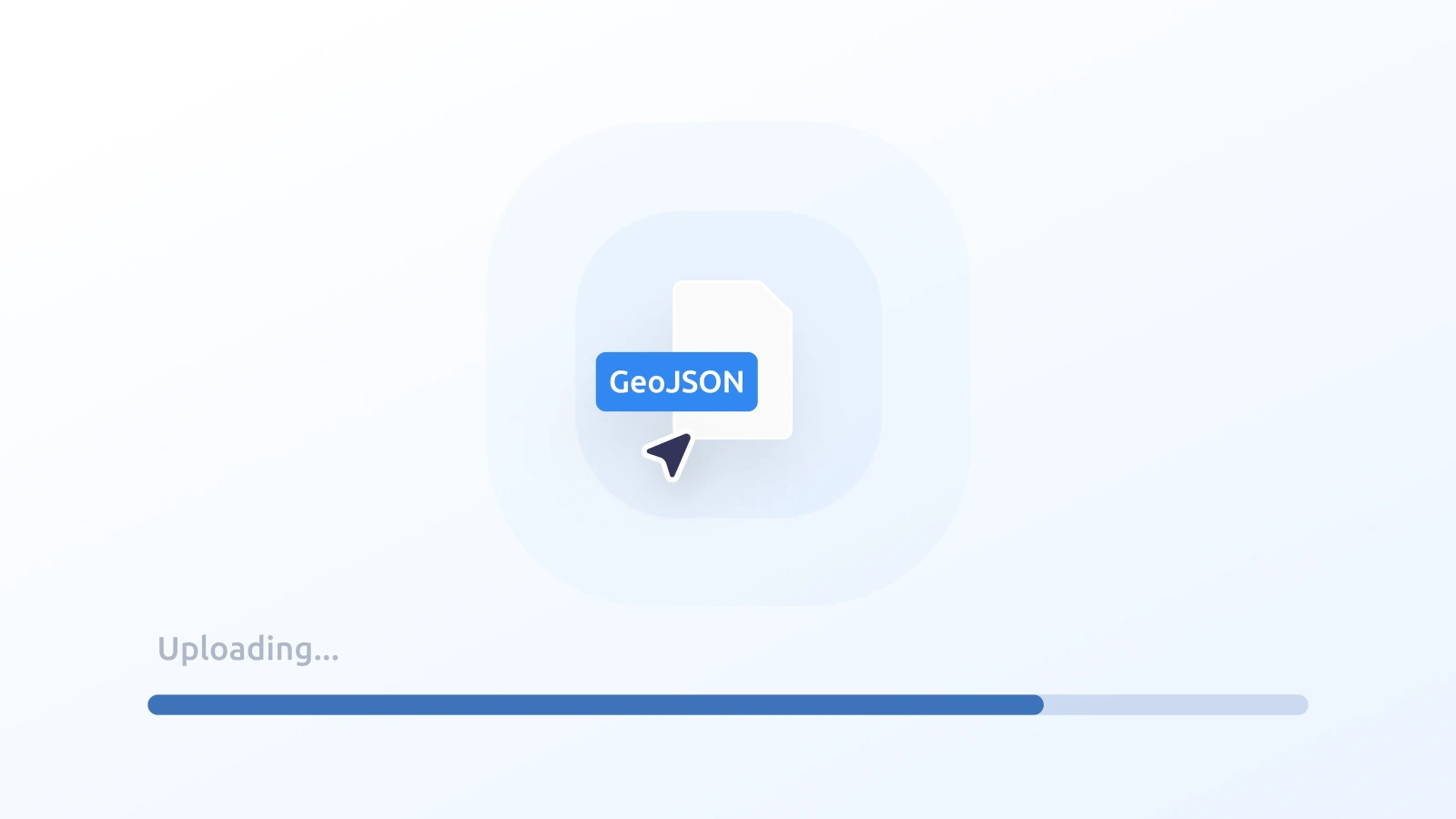
Drag and drop your vector geodata (up to 1 GB) into MapTiler and it will be immediately ready for publishing online. Combined with the recently released raster data upload, we now offer the simplest way of adding user data to interactive maps.
Fully automated upload and free processing
Once you start uploading your data, everything is handled automatically—no manual setup is required. Data processing is powered by our award-winning tiling engine, which is included at no extra cost. The data becomes immediately available for integration into map visualizations or storage for later use.
Expanded format support and increased limits
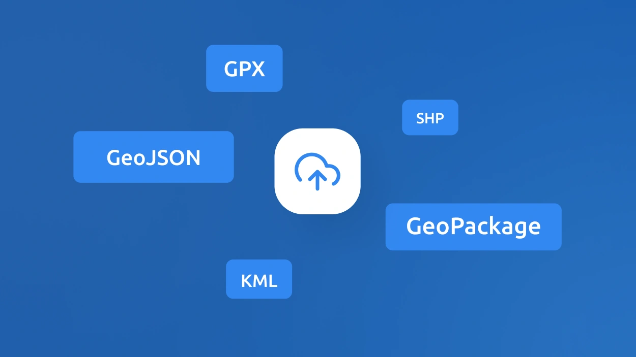
Format compatibility has been expanded in this release. GeoJSON, SHP (in ZIP), GPX, KML, and GeoPackage are now supported.
The upload limit for vector datasets has been raised to a class-leading 1 GB. This allows large-scale geodata, such as utility networks, to be uploaded and hosted. The size limit for editable vector features in GeoJSON, GPX, KML, and SHP formats has also increased from 5 MB to 10 MB, and the number of features from 5,000 to 10,000.
Ready to showcase your data?
Vector data upload with automated tiling is now available for all users, including free accounts. Getting started couldn’t be simpler. Sign up for a free account today and experience seamless geodata hosting and beautiful map publishing firsthand. Plus, automatic tiling is always included at no extra charge!