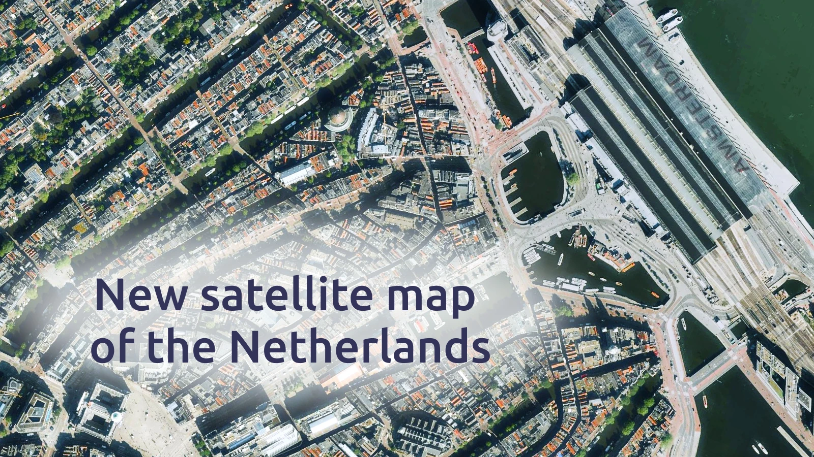
A fresh set of 2024 aerial images has just been added to our satellite map, covering the Netherlands in remarkable clarity. The new data comes at 7.5 cm/px resolution, capturing the country’s unique mix of landscapes and cities with impressive precision.
- Less than 1 year old
- Very high resolution, see individual cars
- Available for the whole country, urban and rural
Updated satellite map of the Netherlands
From the canals of Amsterdam and the historic windmills of Kinderdijk to modern architecture in Rotterdam and the sweeping coastline of the North Sea, the new imagery brings every corner of the country into focus.
This update offers a fresh view of both historic landmarks and modern life.