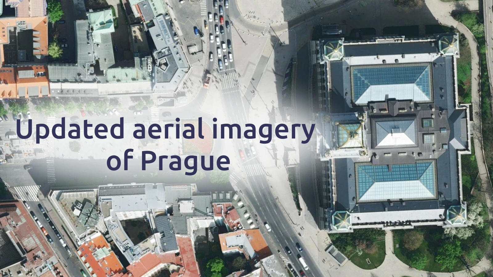
The satellite map of Prague has just been updated with brand-new aerial imagery from 2024, now available in stunning 5 cm/px resolution.
- Identify objects and architectural details thanks to incredibly high resolution
- Vibrant colours show the city at its best
- Less than one year old
Aerial imagery of Prague in high-res
Explore the city with a new level of clarity and vibrancy. Colors are now more natural and vivid, bringing out details with striking precision: from the ornaments on the roof of Saint Vitus Cathedral to the arches of Charles Bridge, and the lively streets around Old Town Square and the Dancing House.
This update is a major enhancement to the high-resolution aerial imagery already available across the entire Czech Republic, making Prague’s landmarks more vivid and detailed than ever.