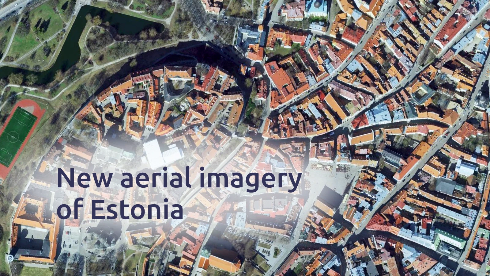
Fresh, high-quality aerial imagery of Estonia is now available in the MapTiler satellite map.
The country’s largest cities — Tallinn, Tartu, Jõhvi, Narva, and Pärnu — are covered with 10 cm/px imagery captured in 2023–2024, delivering exceptional detail for urban areas. The rest of Estonia is available at 20 cm/px resolution from 2022–2024, ensuring complete nationwide coverage.