We had two important upgrades in over the last month
- A major update to the Map styles, including Satellite, Backdrop, and Aquarelle
- Over 650,000 new address points, largely in rural areas of France
Precision meets artistry: Three new ways to tell your story with maps
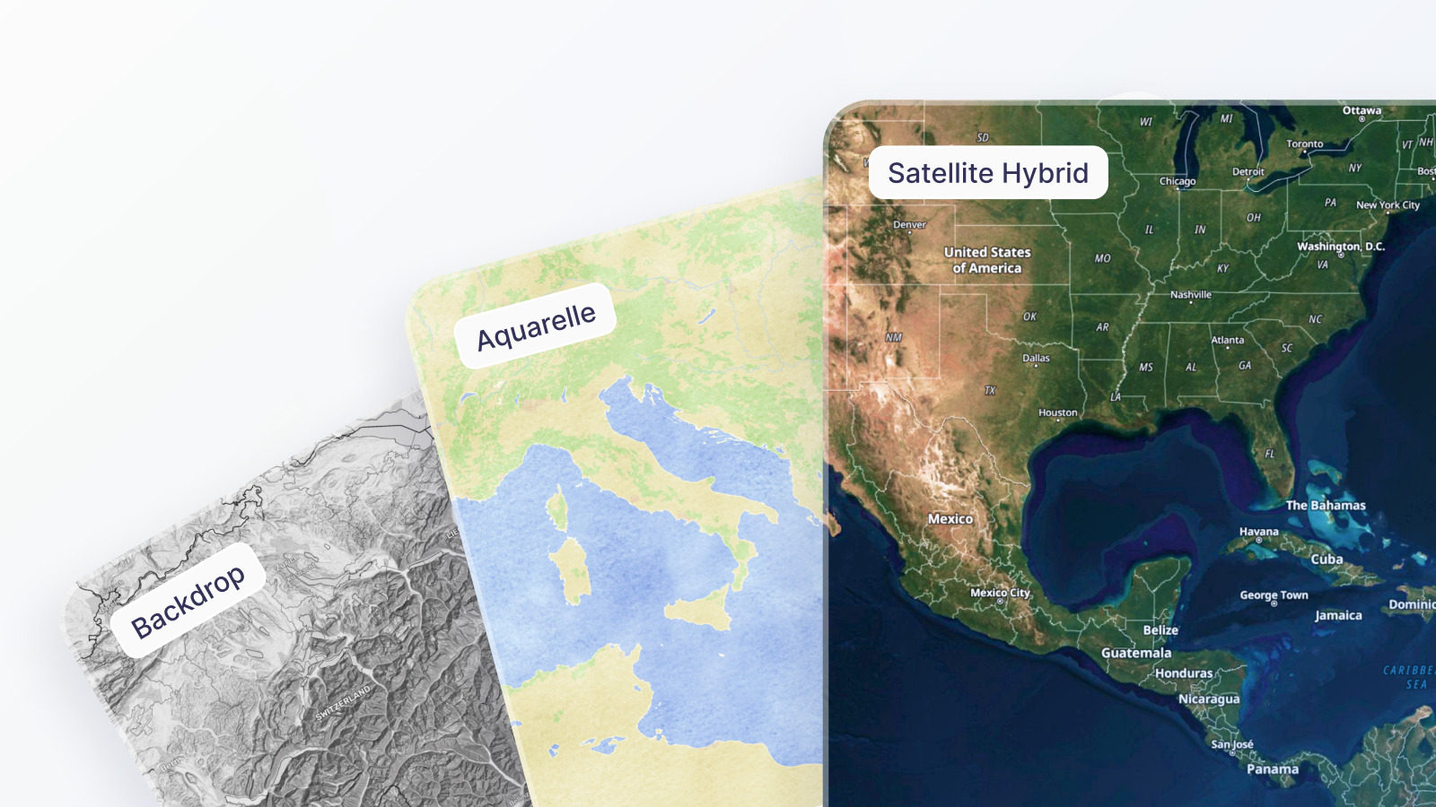
We have released three new map styles designed to help you communicate your data more effectively. These styles are supported by our latest underlying data, providing high-quality vector tiles down to street level for a smooth experience across all scales.
- High-Precision Satellite Maps
We now offer Satellite Plain and Satellite Hybrid map styles. Satellite Plain gives you pure imagery covering the whole globe at street-level resolution or more. Satellite Hybrid combines imagery with vector labels, boundaries, and road networks. Both styles have a dark variant for low-light or dark-mode use.
Preview Satellite Hybrid >
- Backdrop: Let Your Data Speak
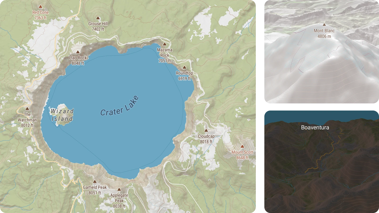
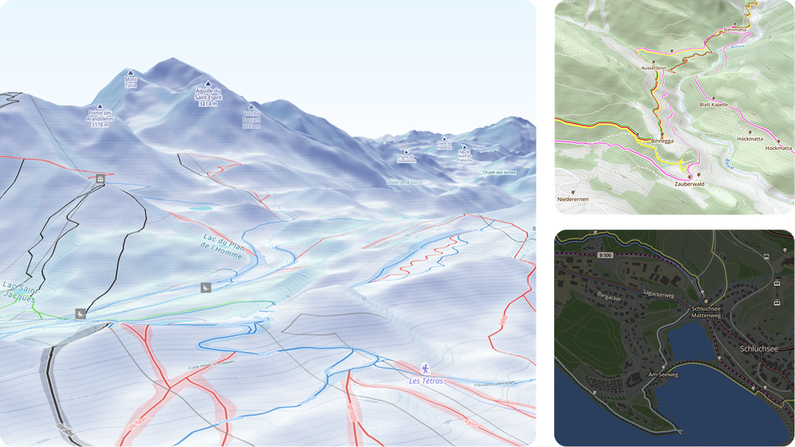
Every data story needs a setting, but the map should not steal the show. Backdrop provides just enough geographical context to ground your users while avoiding unnecessary labels or colors. It also includes integrated terrain and elevation. This is a significant addition for uses such as tracking hiking routes, analyzing microclimates, or monitoring weather fronts.
Preview Backdrop >
- Aquarelle: Artistry in Motion
The MapTiler Aquarelle map brings artistic, hand-drawn aesthetics to the digital space. It adds a fluid, organic feel to your maps, capturing the texture of paper and the movement of water. We designed this style for travel blogs, artistic portfolios, wedding sites, and data visualizations where visual quality and creative freedom are paramount.
Preview Aquarelle >
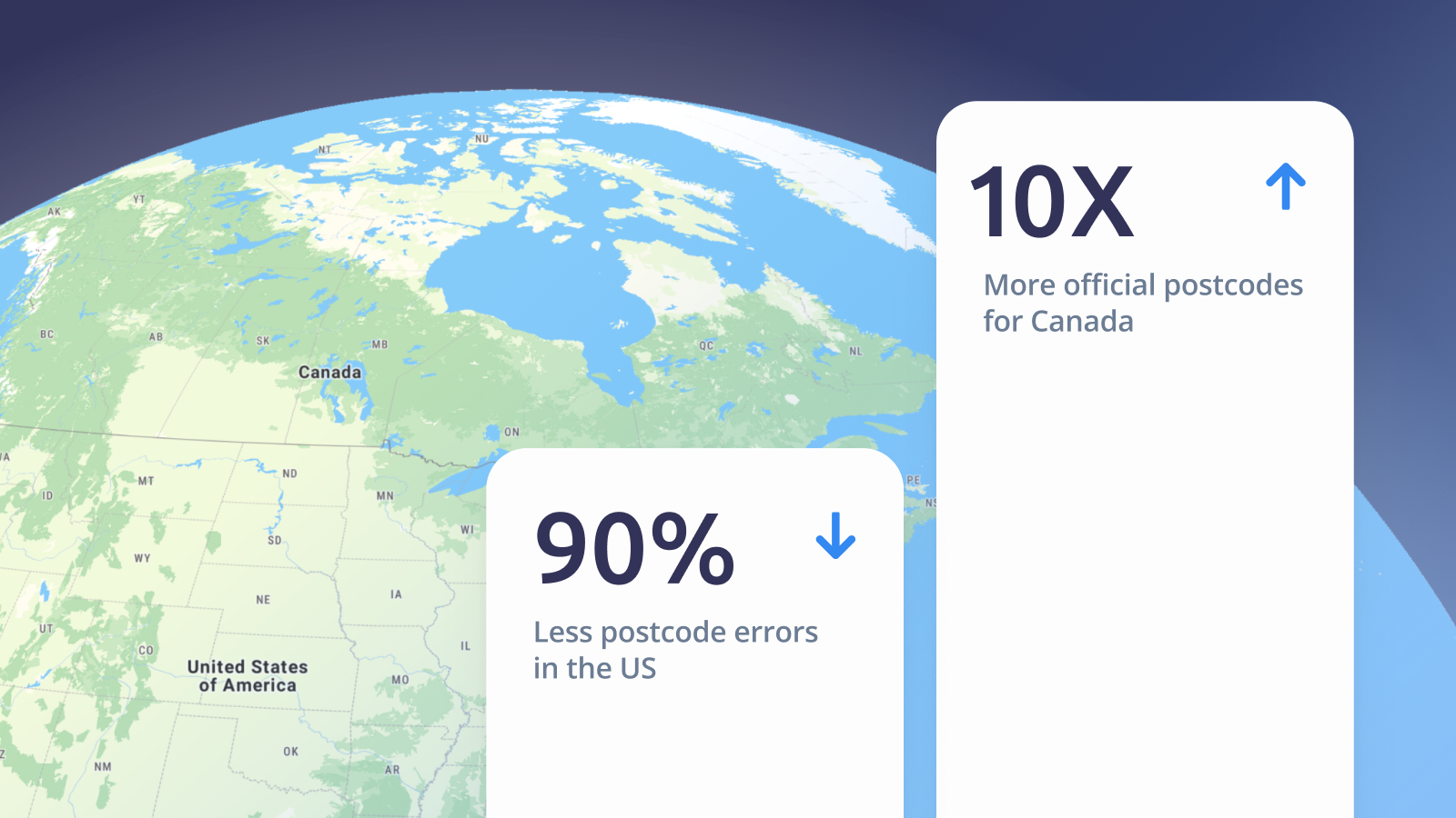
650,000 new addresses added to our french maps
We’ve combined our global data with government address points to significantly improve precision across France.
- +650,000 New Address Points in France: We didn't just improve existing data; we added over half a million addresses that are missing from many other commercial maps.
- +33% Coverage Increase: By including "Lieu-dits", our geocoding match rate has improved by a third in rural areas and small villages.
- Government-Grade High Precision: These aren't estimates. These are the official coordinates used by emergency services and postal workers.
Whether you are a developer, a logistics manager, or building the next great PropTech platform, this update delivers immediate value. For Logistics & Last-Mile Delivery, you can navigate directly to the doorstep, and stop wasting time calling customers for directions to obscure farmhouses. For Real Estate, displaying property locations accurately for rural listings adds value to your platform.