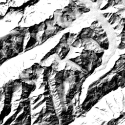
Contour lines Planet
Download vector tiles for self-hosting
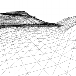
The detailed contour lines available for the whole planet are derived from the global elevation data composed from several Open Data sources.
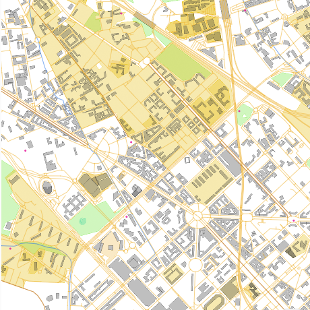
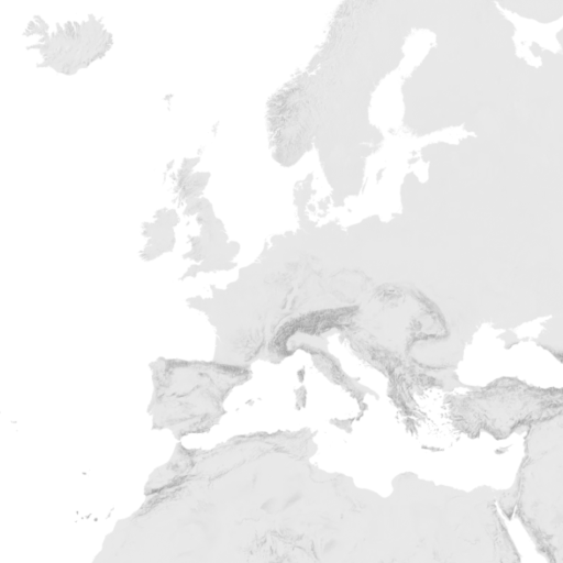
Zoom in to preview the details of this dataset. Provided area is marked with a rectangle.
The tiles are generated on zoom levels 9-14
but can be overzoomed to level 18+.
We have processed the contour lines for the whole planet in a vector format and turned it into ready-to-use vector tiles which you can easily include in your map and style it according to your needs. The data is available as MBTiles package - in the same format as our OpenStreetMap vector tiles, so you can host them on the same servers as OSM vector tiles.
Download other datasets for Planet:
OpenStreetMap vector tiles
Hillshading raster tiles
Satellite Medium Res raster tiles
Satellite Low Res (2016) raster tiles
Terrain RGB
Terrain 3D - Cesium quantized mesh
MapTiler Planet Lite
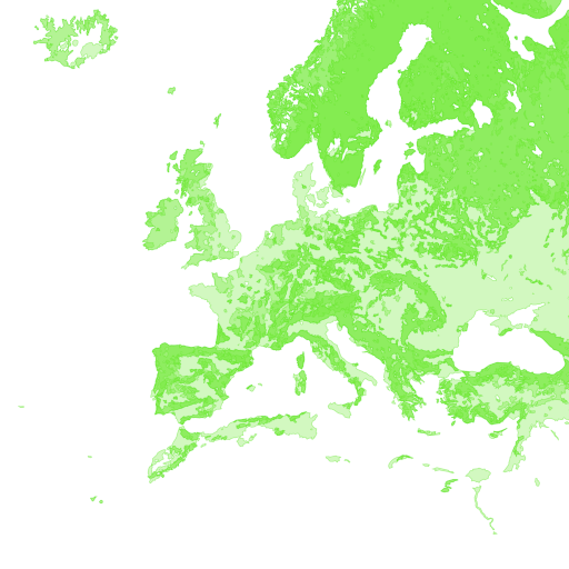
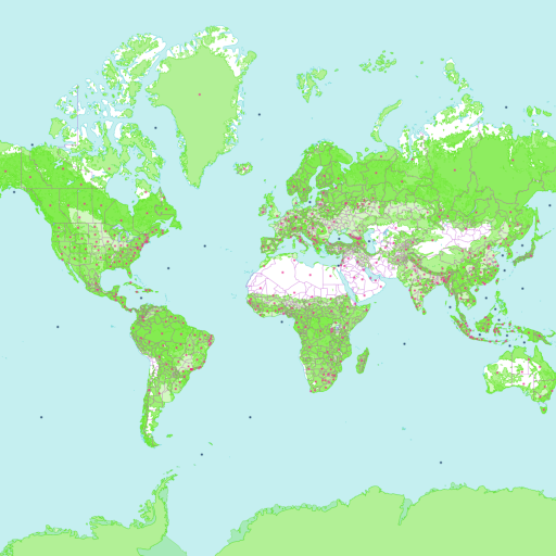
Landcover
Satellite Highres raster tiles