Maps for navigation and location discovery
Professional map styles made by expert cartographers for routing and searching apps.
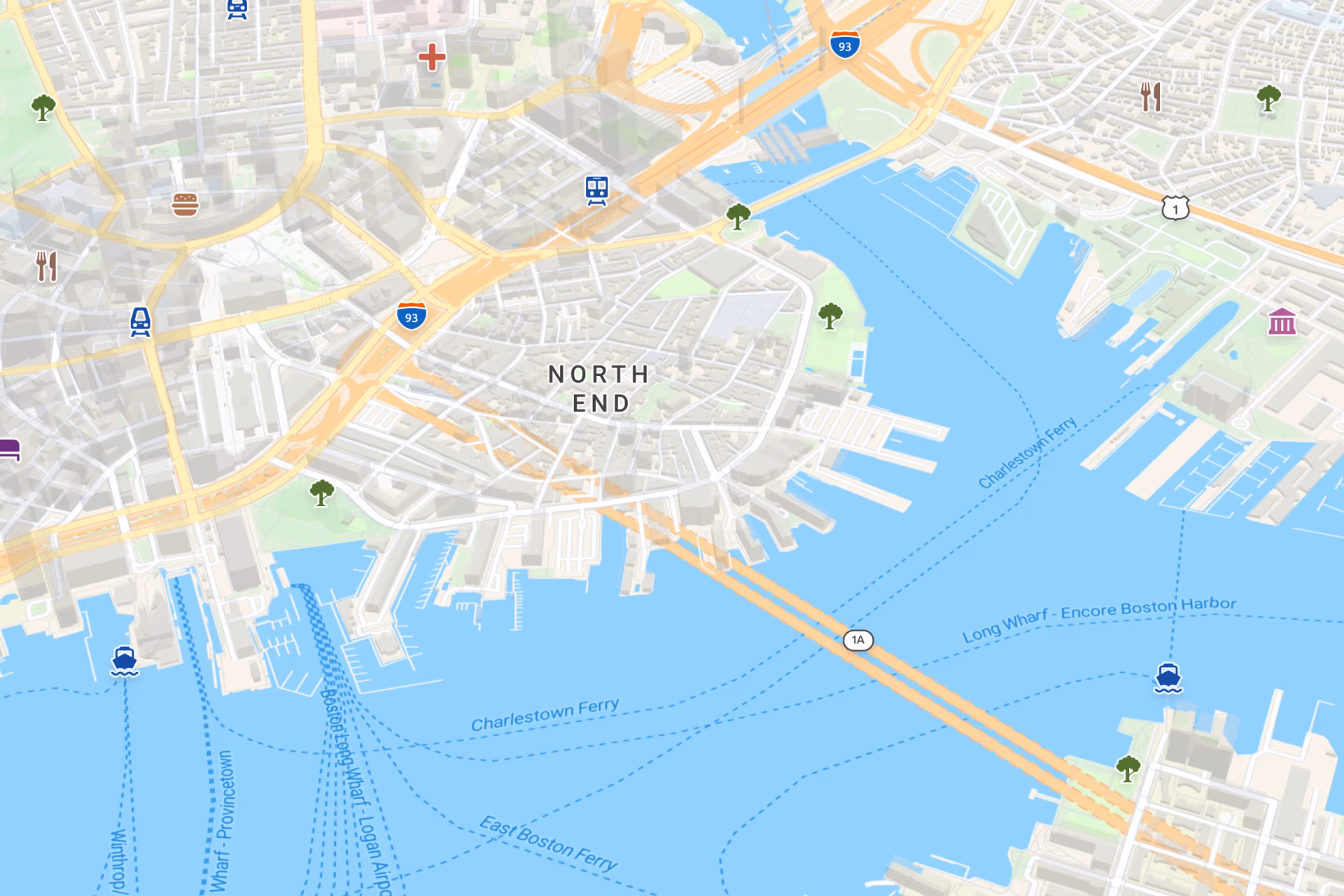
Rich POI details
Comprehensive points of interest from OpenStreetMap and other data sources.
Fast loading
Lightweight vector tiles ensure high performance even with large datasets.
Easy publishing
Seamlessly share and embed interactive maps in your applications and dashboards.


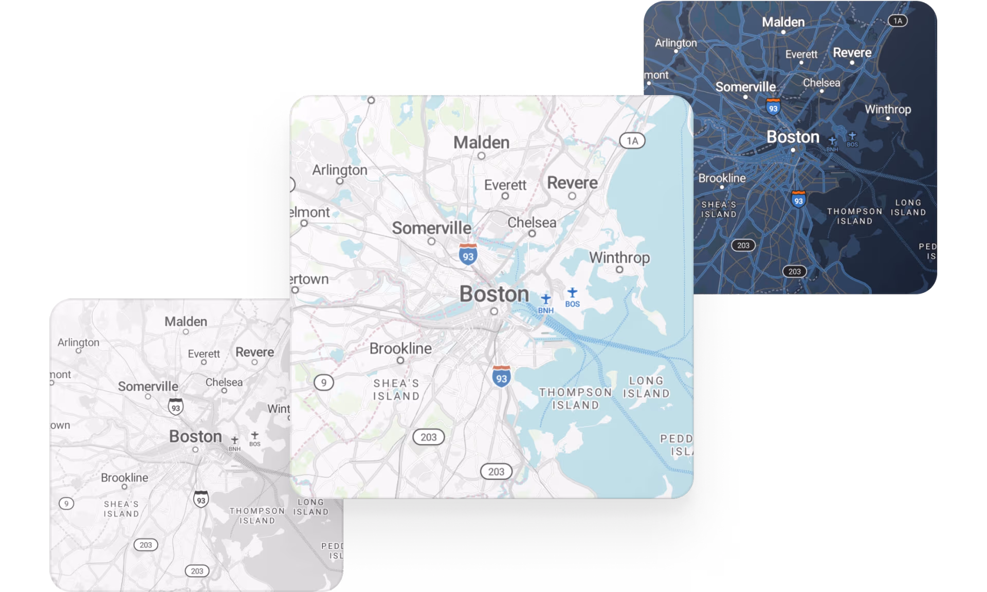
Cover any use case
Choose from light, dark, and pastel variations to get the basemap that works best in your application or matches your user preferences.
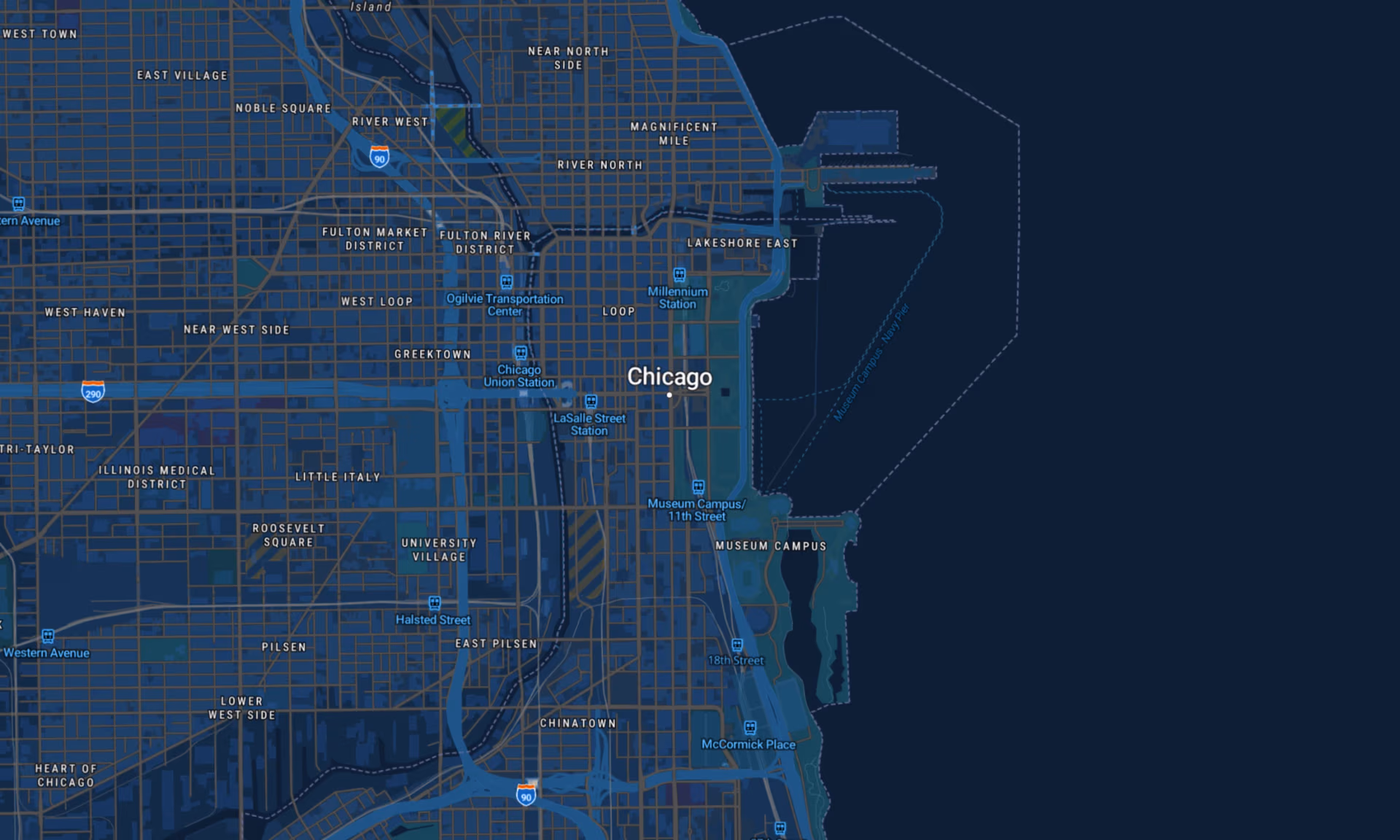
Detailed road networks & POIs
All the roads and transport information are backed up with details like street names, building numbers, and carefully curated points of interest data from multiple trusted sources.
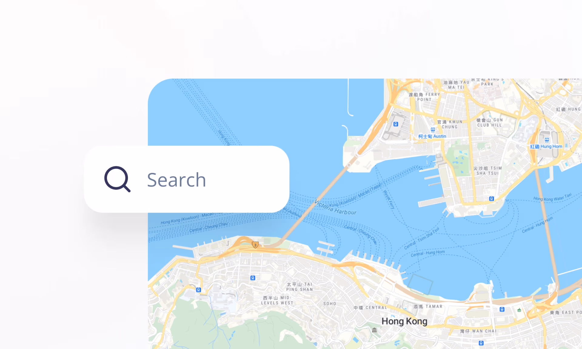
Enrich with powerful search
Let users find any place on Earth using our detailed geocoding API.
Instantly turn searches into locations with rooftop precision.
Available as


Raster tiles
Leaflet, OpenLayers, XYZ

Map services
WMTS and OGC Tiles API for QGIS or ArcGIS

Static maps
Image for thumbnails
Publish anywhere
Use maps on your website and apps, either from our cloud or your on-prem solution.