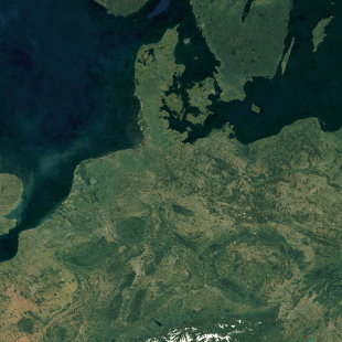
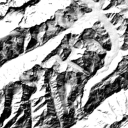
Satellite Low Res (2016) Planet
Download raster tiles for self-hosting
Satellite imagery of the whole world. Processed and carefully stitched together to create a seamless map layer with beautiful colors. The input data was collected in 2016 and rendered as one tiled file.
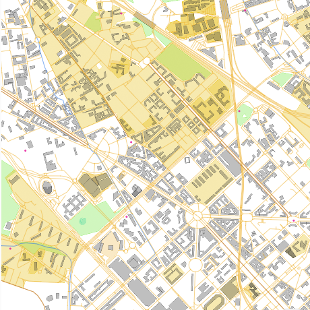
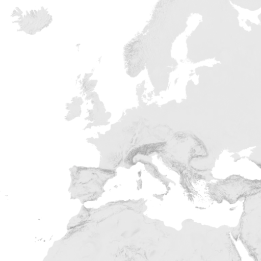
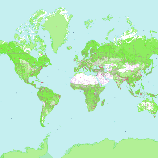
Zoom in to preview the details of this dataset. Provided area is marked with a rectangle.
The tiles are generated on zoom levels 0-13.
Please Note: There is a more up-to-date version of this data here: Satellite Medium Res.
Downloaded images come as tiles (MBTiles) in JPEG raster format.
Please Note: There is a more up-to-date version of this data here: Satellite Medium Res.
Downloaded images come as tiles (MBTiles) in JPEG raster format.
Download other datasets for Planet:
OpenStreetMap vector tiles
Hillshading raster tiles
Contour lines vector tiles
Satellite Medium Res raster tiles
Terrain RGB
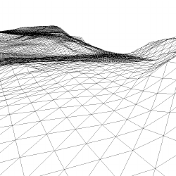
Terrain 3D - Cesium quantized mesh
MapTiler Planet Lite
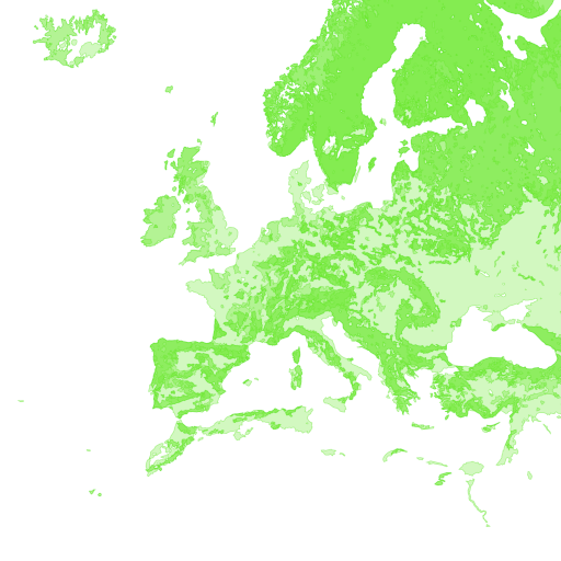
Landcover
Satellite Highres raster tiles