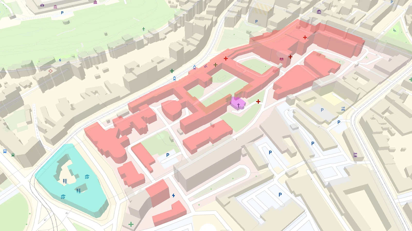
The new Buildings tileset is a high-detail expansion for the latest map styles. It lets you style individual buildings differently from the others on the map and pinpoint entrances for accurate navigation. Therefore it's the ideal solution for high-precision mapping in complex environments like university campuses, industrial sites, and event spaces.
Advanced attributes for cartography
The Buildings tileset provides the deep metadata required for feature-level styling:
- Stable IDs (
id): Reliable IDs for consistent feature referencing in your SDK code. - 3D geometry:
height,height_min, androof_shapefor accurate extrusions. - Aesthetics:
facade_colorandroof_colorfor real-world styling. - High precision: z15 geometries for sharp rendering at maximum zoom.
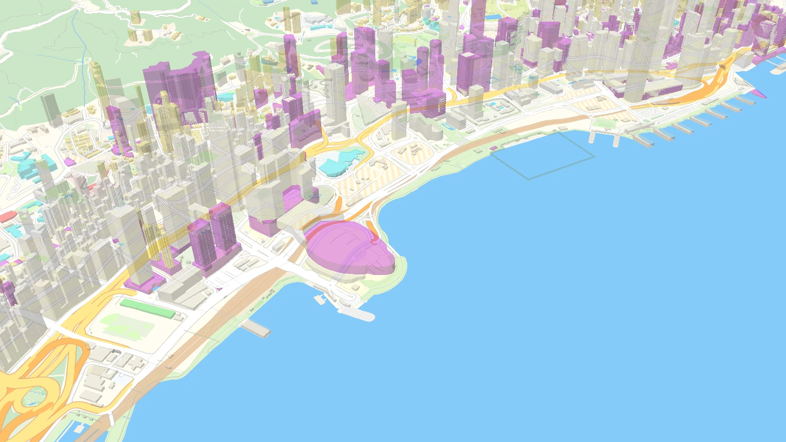
Seamless compatibility with the latest map styles
These buildings are fully compatible with the Planet-v4 tileset. You can switch building sources without changing your map's initial appearance, then immediately begin customizing individual building colors, icons, and highlights to add essential local detail.
By separating these attributes into a dedicated tileset, we preserve Planet-v4's lightweight performance while providing the depth needed to style buildings differently when needed.