
Powerful Online Visual Georeferencing
Assign accurate geographical locations to images from architects, designers, or drones. Upload, georeference, and process your data using a workflow designed for maximum efficiency.
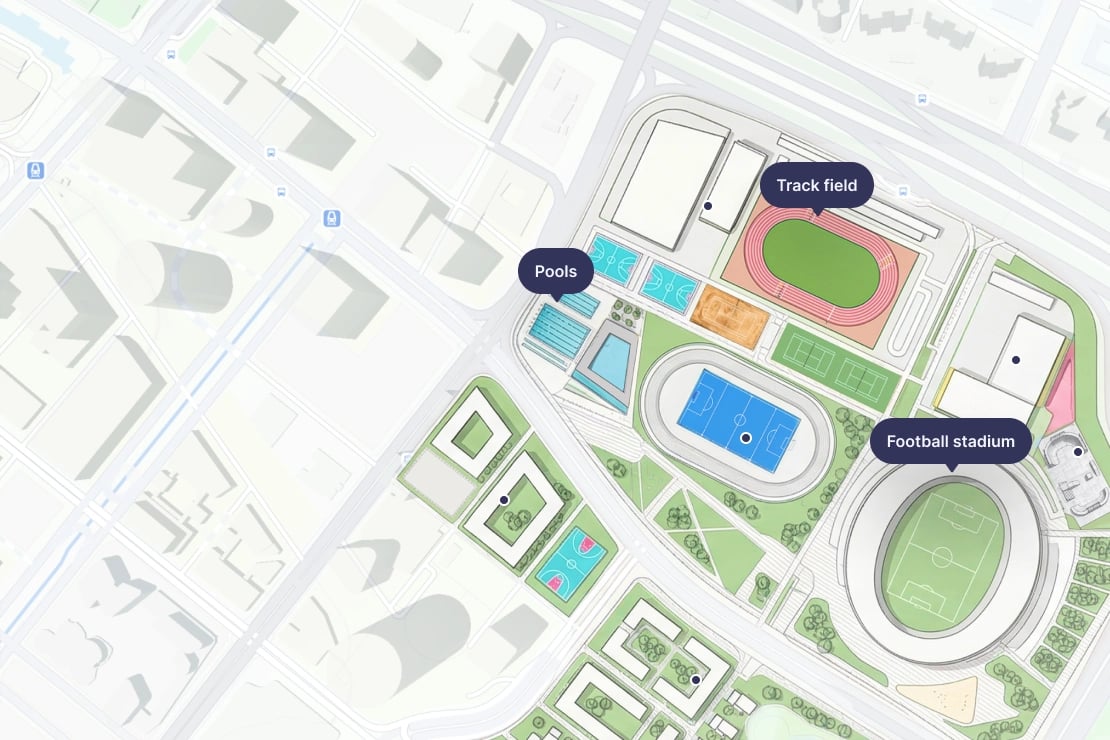
Highly intuitive visual georeferencing
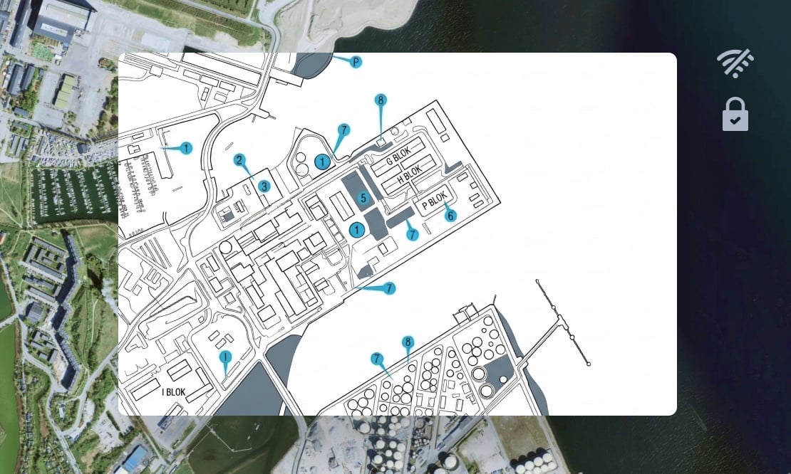
Align your images by simply matching points between your data and the map. Bypass the steep learning curve of GIS software with a side-by-side interface designed to yield professional-grade results in minutes or even seconds.
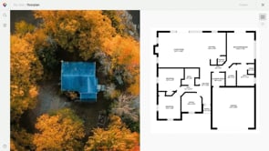
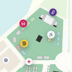
Events
Deliver seamless interactive guides for festivals, trade shows, and exhibitions.
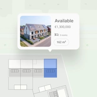
Real estate
Immerse buyers and investors in the full context and vision of your development.
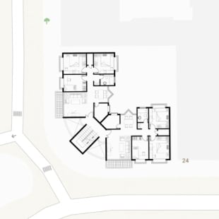
Construction
Monitor every phase by layering architectural plans and site photos onto a single, live map.
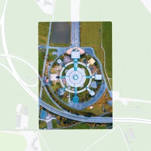
Drone
Instantly turn non-georeferenced aerial imagery into actionable, high-precision spatial data.
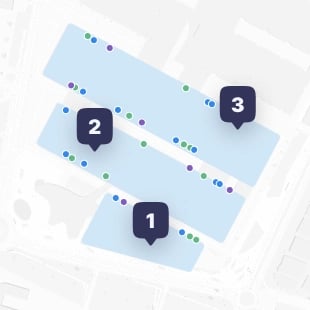
Indoor mapping
Help visitors navigate sports complexes, shopping malls, airports, campuses, and adventure parks.
Fastest geoprocessing
After georeferencing, your data is turned into an interactive map using our UltraFast map tiling algorithm. The processing is automatic and free!

Compatible with your assets
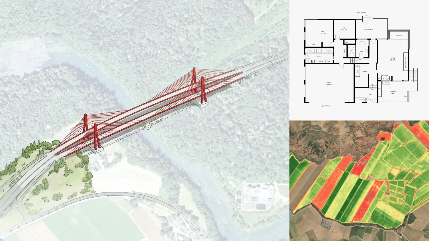
Effortlessly transform architectural drawings, floor plans, event maps, or drone imagery into precise spatial layers, even if there is no location data embedded in them.
Universal format flexibility
Bring your data to life regardless of its source. Seamlessly process standard image formats and even geodata files if they are missing their georeference.

Secure georeferencing on-prem
Maintain absolute control over sensitive data or operate within fully offline pipelines. Run the entire workflow locally for georeferencing, map tiling, and hosting. This ensures total data sovereignty without compromising on performance.
Ready to start georeferencing your data?
Upload your imagery to a high-performance infrastructure built for professional scale.