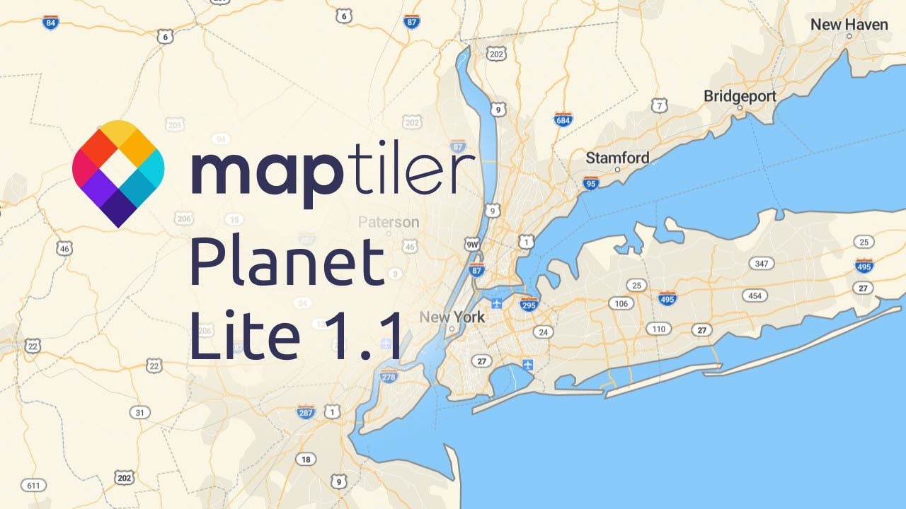
Planet Lite, our copyright-free map of the entire world, has been upgraded with enhanced features and issue fixes have been made to our lite version of MapTiler Planet. This latest release of the Lite version of MapTiler Planet has improved compatibility, boundaries, and some new features and upgrades.
Switch between copyright-free and highly detailed maps
The Planet Lite v1.1 schema is now compatible with the MapTiler Planet v3.14 schema. There are some compromises due to the different maximum zoom levels (10 compared to 15 for MapTiler Planet) and differing quantities of information. However, any features you have styled for Planet Lite data are transferable to MapTiler Planet, and the same is possible in reverse. This allows you to keep the familiar look of your maps for your users, no matter which dataset you are using, e.g.:
- Mountain peak elevations in feet in the USA.
- Boundaries with country labels on either side at all zoom levels.
- Lakes labels that follow along a center line.
- Utilizing attributes in the transportation layer to style the whole network.
Remember you can choose Planet Lite as the data source using the customize tools in MapTiler Cloud. The advanced editor can be used to create beautiful cartography too:
Improved Boundaries
There was a massive enhancement in the boundary layer where you can now use Customize tools to highlight the specific view of disputed boundaries. There are also now unified naming for disputed borders, so you can apply your own style consistently.
Also, the USA now includes boundaries for counties that align perfectly with the level 2 boundaries in our Countries tileset.
Map Data upgrades
We’ve made many other improvements to Planet Lite, such as adding more Wikidata and GeoNames IDs to place names. This allows you to connect to other datasets that use the same codes.
Highways in the USA now appear from zoom level 4, so you can show higher-level transit maps. There are also new features, such as extra rivers and lakes in Australia. The highway shields in the USA have also been enhanced to show more precise information.
You can find out more about Planet Lite or start using it straight away:
Self-hosting? You can download Planet Lite here.