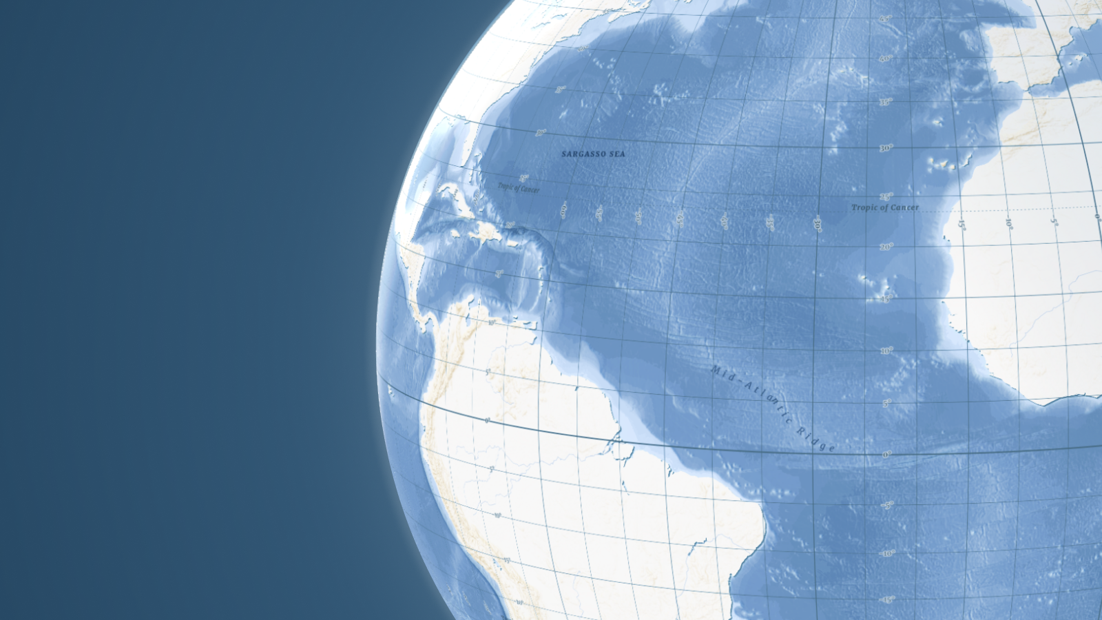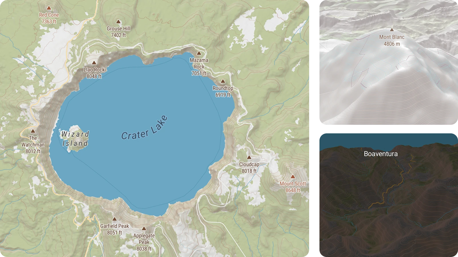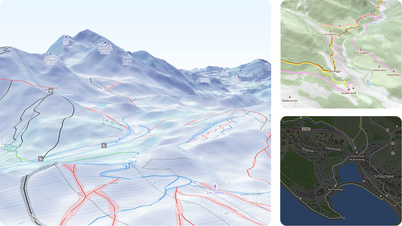
Build the best activity maps and apps using our upgraded Outdoor and Winter styles. We've added richer detail at every zoom level, and backed it up with clearer cartography to give you a head start with your development.
- Color-coded hiking and biking trails
- Graded pistes and cross-country skiing tracks
- Detailed terrain showing contours, slopes, and glaciers
- Points of Interest to see along routes
PREVIEW OUTDOOR PREVIEW WINTER
Customize your activity maps
Our new data structure has made it easier than ever to tweak the map to meet your exact needs. Use the map design, data upload, and data editing tools to try these actions:
- Change the color scheme of the map to match your brand
- Overlay your own routes and locations from GPS data
- Use custom icons to highlight viewpoints, trail heads, and more
Get started with Outdoor > Get Started with Winter >