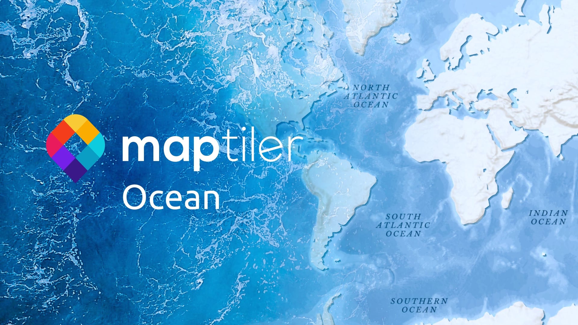
MapTiler Ocean, the latest addition to MapTiler Cloud, describes the world’s oceans in great detail and brings new possibilities for marine cartography. Containing detailed bathymetry as hillshading and contours, it lets you add detail and interest to what is usually blue space on the map.
World bathymetry vector tiles
Our bathymetry blog post created a lot of interest, so our team turned a global bathymetry dataset into vector tiles. This optimized Ocean tileset is now available in the Tiles section of your MapTiler Cloud account.
MapTiler Ocean provides the maximum depth of the Ocean floor as a set of continuous (adjacent) polygons with no gaps or overlaps (the contour layer). Each polygon has a negative depth attribute, from -50m down to -12000m. These are discrete minimum depth values expressed in meters. Each of them can be assigned a color code using a match expression, as shown below.  We have a detailed guide on how to use MapTiler Ocean in our documentation pages.
Ocean hillshading and contour lines
The Ocean tileset also contains vector contour lines of the sea floor (the contour_line layer) derived from the same elevation data. These can be used to delineate depth levels with a line layer and to display the actual depth values with a label layer. The label and line colors can be changed to contrast with the ocean floor based on the depth in meters.
Finally, a global bathymetry terrain hillshade was also created and made available in the tiles section of your account. Called the ocean-rgb layer, it adds a truly mesmerizing look and feel to the undersea landforms and allows for further customization. You can also use it as a source for a raster-dem layer and to power 3D bathymetry!
The Ocean map style is available on MapTiler Cloud now, even with a free account! You can use it as Retina/HighDPI raster tiles or OGC WMTS for ESRI ArcGIS, QGIS, and other GIS software. For web developers, there are code samples for the Leaflet, OpenLayers, and MapTiler SDK libraries.