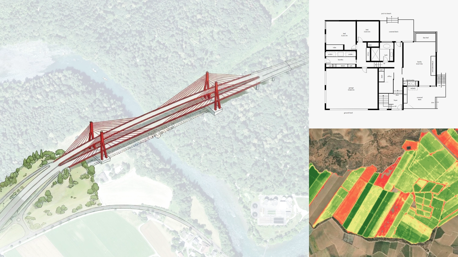
We are thrilled to introduce our online georeferencer, a powerful tool designed to quickly assign a geographic location to your image data. This solution eliminates the steep learning curve of traditional GIS software, allowing you to accurately position floor plans, architectural drawings, graphic designs, and drone imagery at exceptional speed.
Visual georeferencing simplified
The new visual georeferencer features a clear interface for aligning your data by simply clicking matching points on your image and the base map, side by side. Anyone can achieve professional spatial accuracy in minutes or even seconds, without struggling with complex spatial tools.
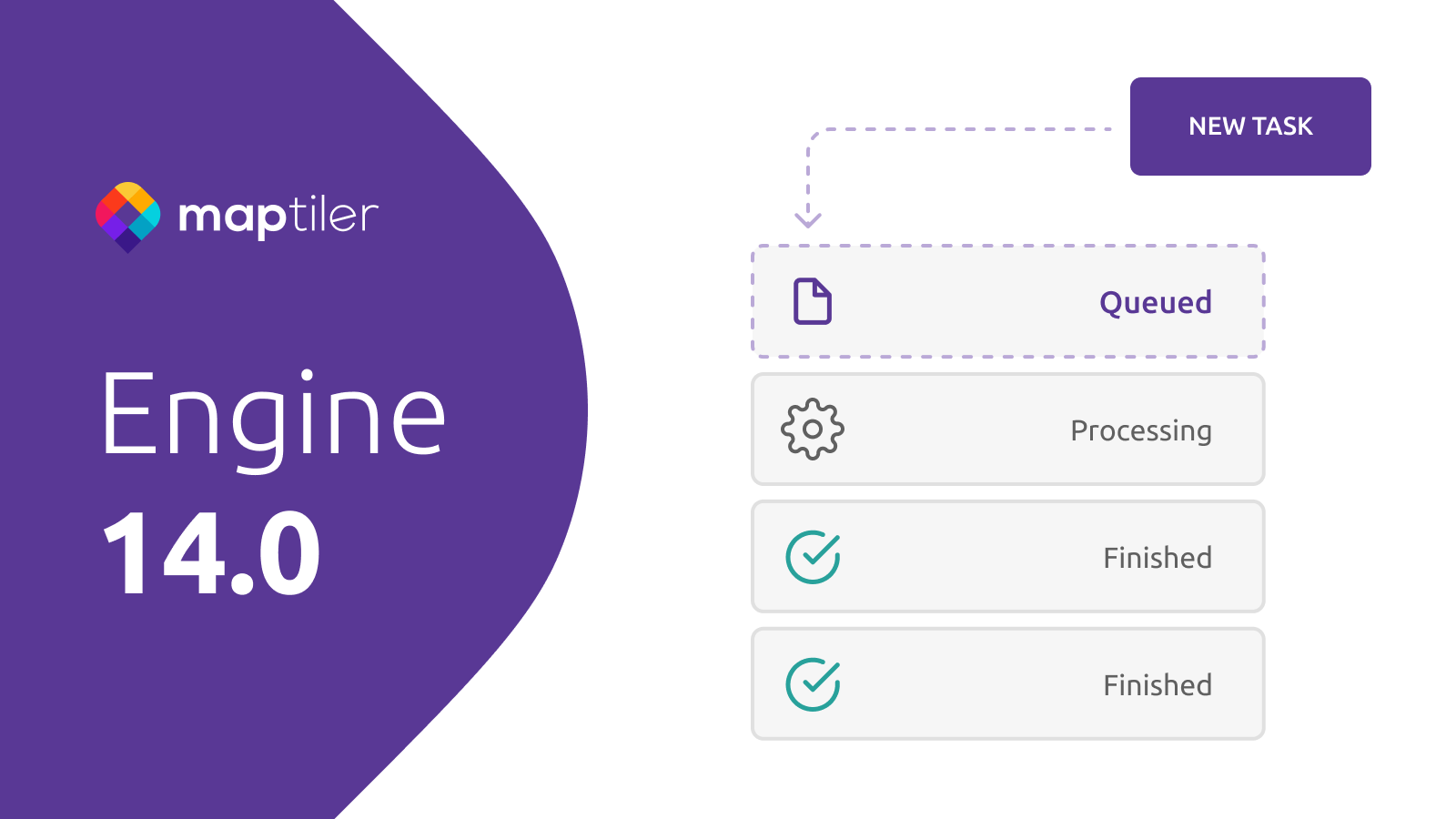
UltraFast automated geoprocessing
The immense speed of our processing pipeline sets this service apart. You can upload your files via our user-friendly interface or automate the workflow through the API. Your assets are securely staged and, once georeferenced, your images are automatically processed into high-performance map tiles using MapTiler’s UltraFast tiling technology, making them ready for web-based zooming and instant sharing.
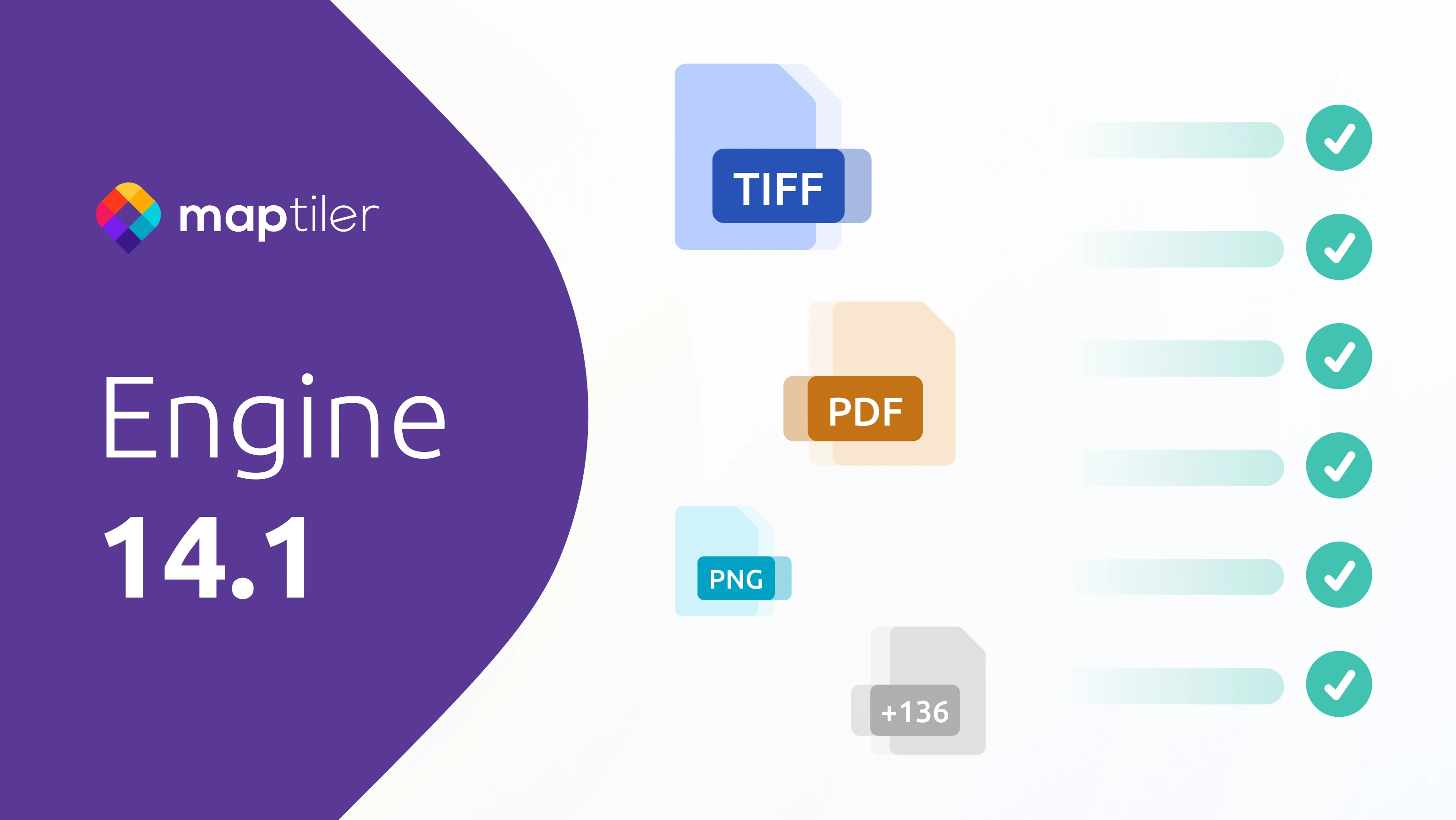
Broad format support for all your assets
We’ve eliminated the friction of manual file conversion. The georeferencing service adds support for five major formats: PNG, JPEG, PDF, TIFF, and WebP. You can upload your professional geodata lacking a spatial reference to effortlessly define its location.