
Nigeria
Download vector and raster map tiles for self-hosting.
Choose one of the datasets below, or get a custom extract based on this region.
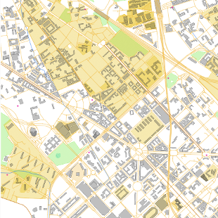
OpenStreetMap vector tiles
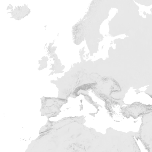
Hillshading raster tiles
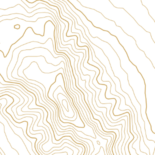
Contour lines vector tiles
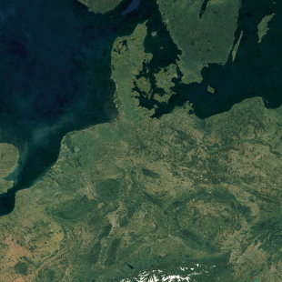
Satellite Medium Res raster tiles
Satellite Low Res (2016) raster tiles
Satellite Highres raster tiles
The OpenStreetMap vector tiles are made with our open-source software released at OpenMapTiles.org. The raster tiles are rendered with MapTiler Engine.
Check the news and changelog.