');-webkit-mask-image:url('data:image/svg+xml,');content:""}.styles_headerShape__7sTl9{position:absolute;overflow:hidden;pointer-events:none;height:700px;top:0;& img{z-index:-1;position:absolute;height:auto;width:1500px;left:50%;transform:translate(-50%,-35%) scale(.4);-webkit-clip-path:ellipse(46% 50% at 50% 25%);clip-path:ellipse(46% 50% at 50% 25%);@media (min-width:768px){transform:translate(-25%,-30px) scale(.85);-webkit-clip-path:unset;clip-path:unset;width:948px}@media (min-width:992px){transform:translate(-75px)}}&.styles_svg__S2bxx img{@media (max-width:767px){transform:translate(-50%,-35%) scale(.85)}}}
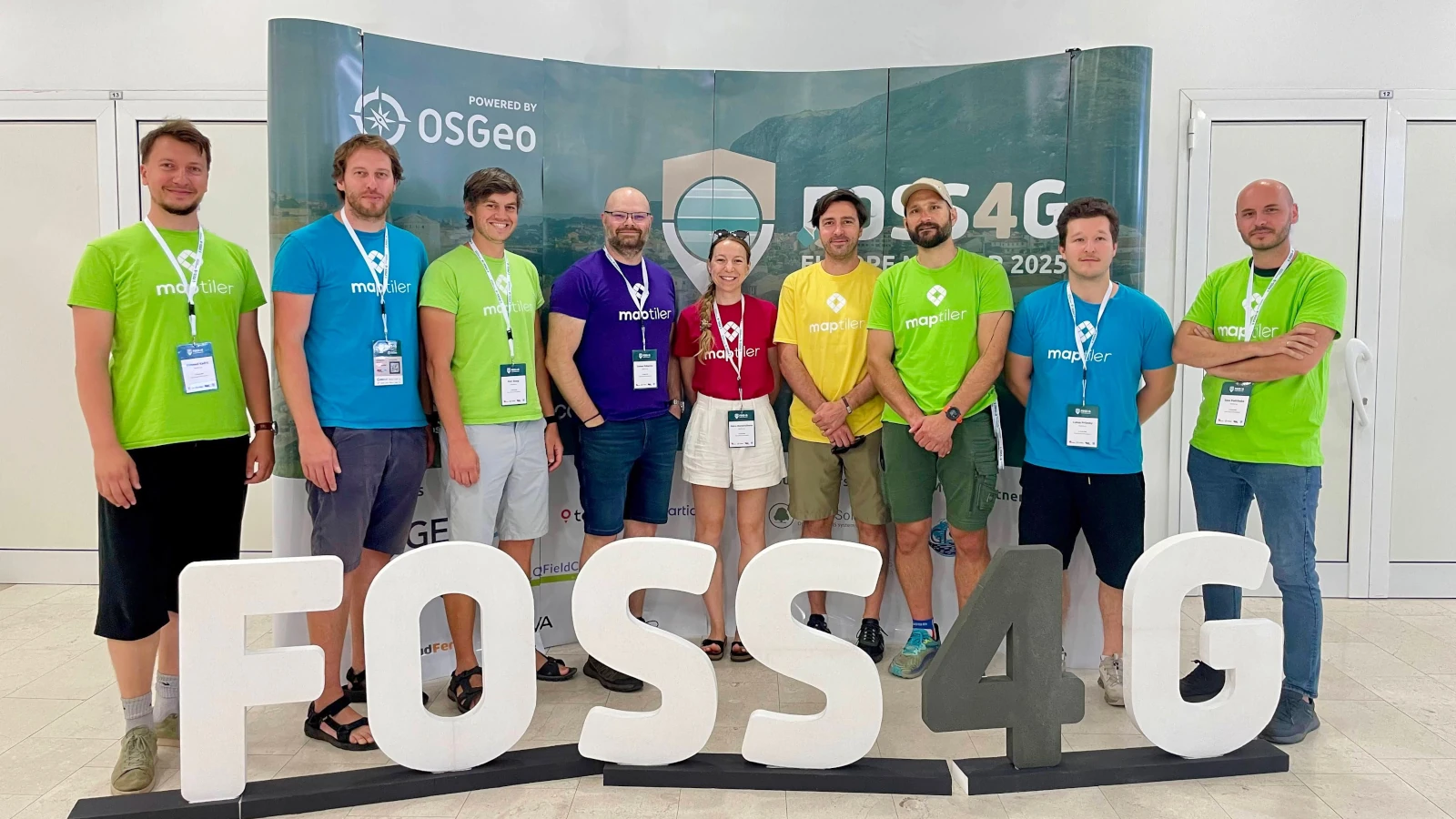
MapTiler is sponsoring FOSS4G Europe 2024. Visit our stand and come see our talks
As Bronze Sponsors of FOSS4G Europe 2024 we have a stand where you can come and speak to our experts
We are giving three talks at FOSS4G. Have a look below to see which ones you want to attend. Don’t forget to speak to Jachym Cepicky and Petra Duriancikova at the B2B Event too.
Details: https://talks.osgeo.org/foss4g-europe-2024/talk/FDLWYB/
JavaScript library for displaying vector maps using WebGL.
www.maplibre.org
GitHub: maplibre-gl-js
Details: https://talks.osgeo.org/foss4g-europe-2024/talk/NMQQUE/
Find out more about customizing maps with MapTiler.
Details: https://talks.osgeo.org/foss4g-europe-2024/talk/EHKHAM/
Open-source maps made for self-hosting. Free OpenStreetMap vector tiles for everybody.
www.openmaptiles.org
GitHub: OpenMapTiles
Find out more about MapTiler works with other businesses to create brilliant geospatial solutions.
Vector & raster basemaps in QGIS from MapTiler Cloud. Add customized OpenStreetMap, terrain, and satellite layers with a few clicks.
qgis-plugin
GitHub: qgis-maptiler-plugin