The Faster, Lighter Cesium Alternative
Get photorealistic terrain visualizations, or upload your 3D models for outstanding performance and visual quality at a fraction of the complexity and cost.
Why developers and product teams switch from Cesium to MapTiler
MapTiler vs. Cesium overview
| MapTiler | Cesium | |
|---|---|---|
| Location platform for fast 2D and high-performance 3D maps. | Platform specialized in 3D geospatial data, digital twins, and aerospace. | |
| Base maps | Catalog of professional maps for various use cases. | Relies primarily on basic third-party base maps. |
| Map customization | Full control over any map aspect with a powerful but intuitive map design tool. | Code-based style editing. |
| On-prem deployment | Simple setup with a reasonable price tag. | Intensive enterprise self-hosted setup, typically geared toward large-scale budgets. |
| Pricing | Transparent, predictable volume rates optimized for standard consumer and business application traffic. | Storage and streaming-heavy pricing model; scales up quickly depending on massive 3D dataset requirements. |
| Vendor lock-in | None. Multi-SDK compatibility and easy migration. | Moderate. While the 3D Tiles format is an open standard, data processing relies heavily on the proprietary Cesium ion ecosystem. |
| Support | Direct, technical human support for all tiers. | Community forum for free tiers; direct support requires paid subscriptions. |
| Data hosting | Unlimited scale. Support for vector & raster data, high-volume aerial photography, 3D models, and point clouds. | Built primarily for 3D models and point clouds, limited native optimization for 2D vector tile workflows. |
Join thousands of companies already using MapTiler
Swap heavy 3D engine bloat for lightweight vector maps, fast 3D terrain, custom brand cartography, and predictable pricing.
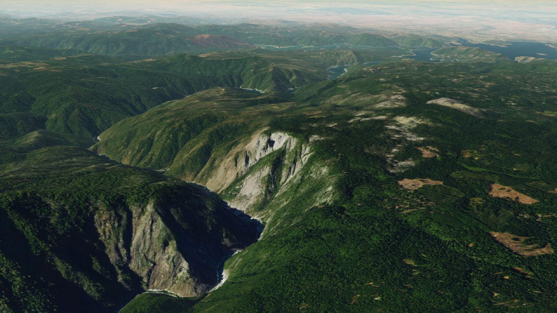
Drop-in Cesium 3D quantized mesh terrain tiles replacement
Switch the terrain tiles provider in just a few lines of code without rewriting your stack.
Upload your 3D models
Upload your existing Gaussian splatting models to get 3D world models with outstanding performance and visual quality.

More location services
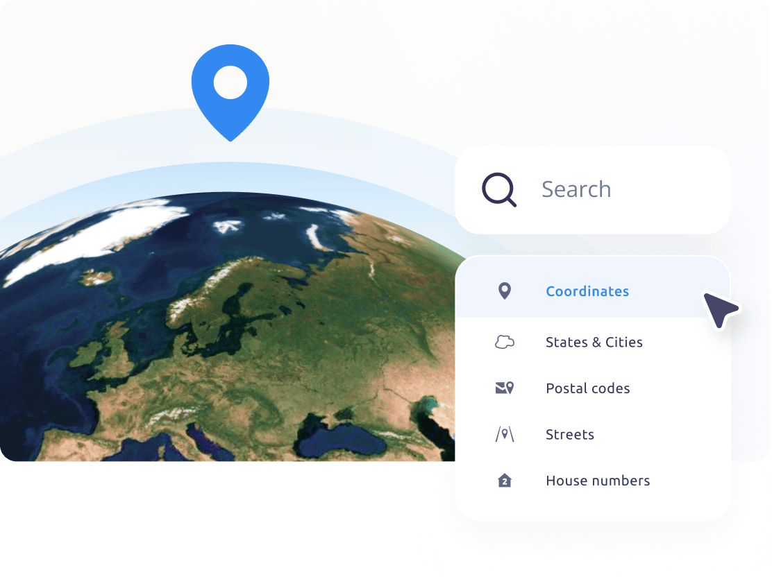
Utilize a full suite of geospatial capabilities beyond base maps including:
- Search & geocoding
- Data hosting & processing
- IP Geolocation
All services are fully integrated into the MapTiler SDK with extensive documentation.
Trusted by










High-traffic web or app?
- Do you have more than 5 million requests?
- Are you planning to launch a high-traffic app?
- We will help you design the optimal setup!