
Precise Elevation for Coordinates and Routes
Get precise elevation from latitude/longitude for any point or line on the planet. Integrate precise Z-coordinates, generate route profiles, and bring topographic realism to your maps.
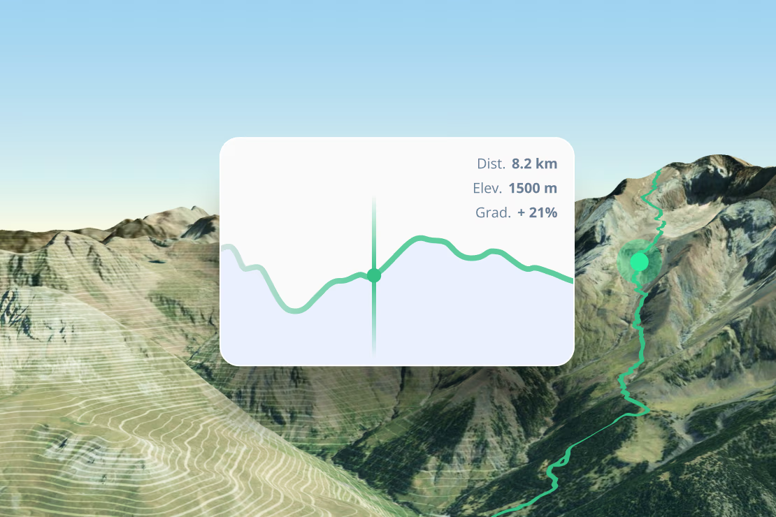
Route profiling
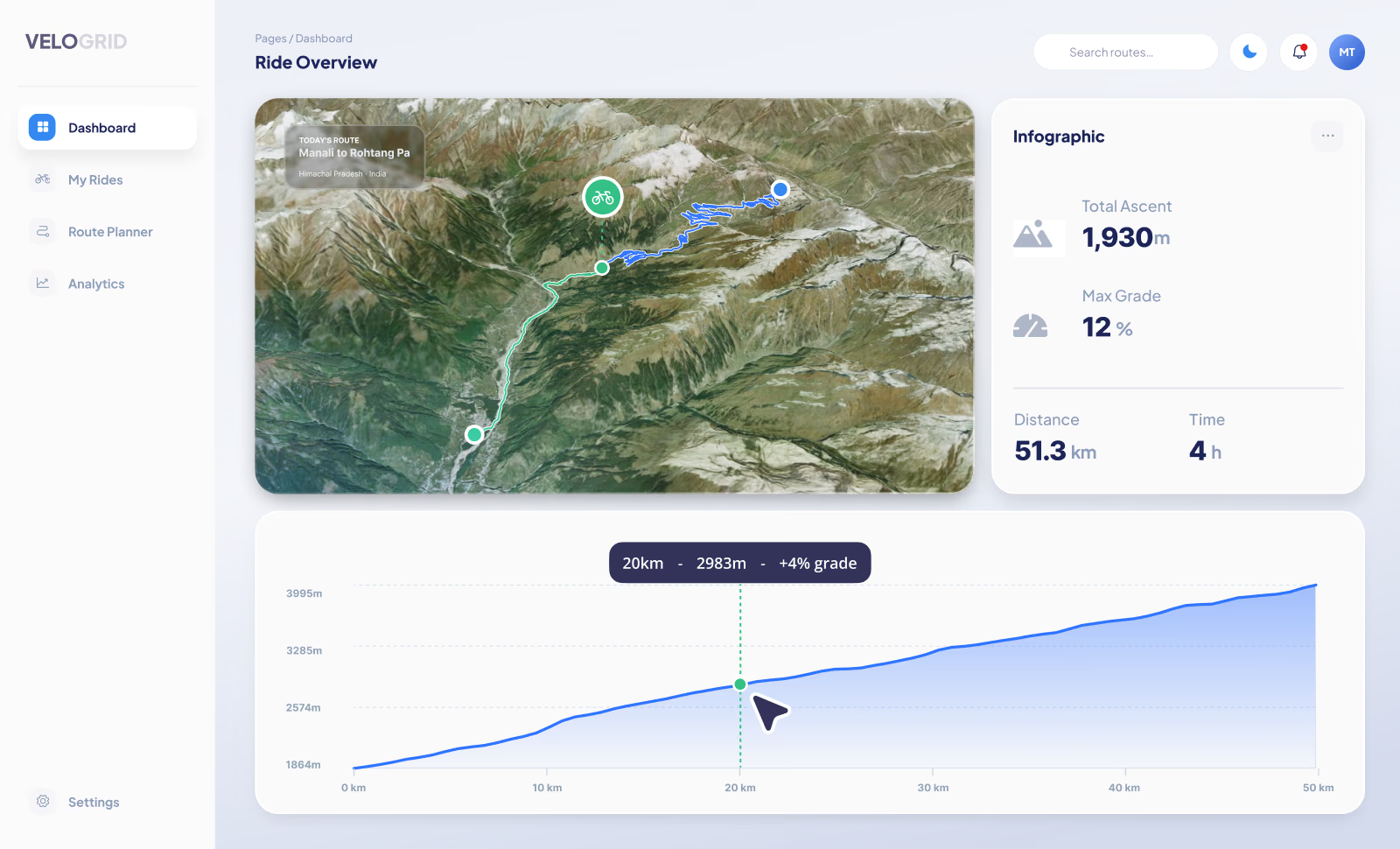
Calculate elevation profiles for your paths. Integrate terrain data into your applications. Ideal for fitness apps, trail guides, and logistics planning.
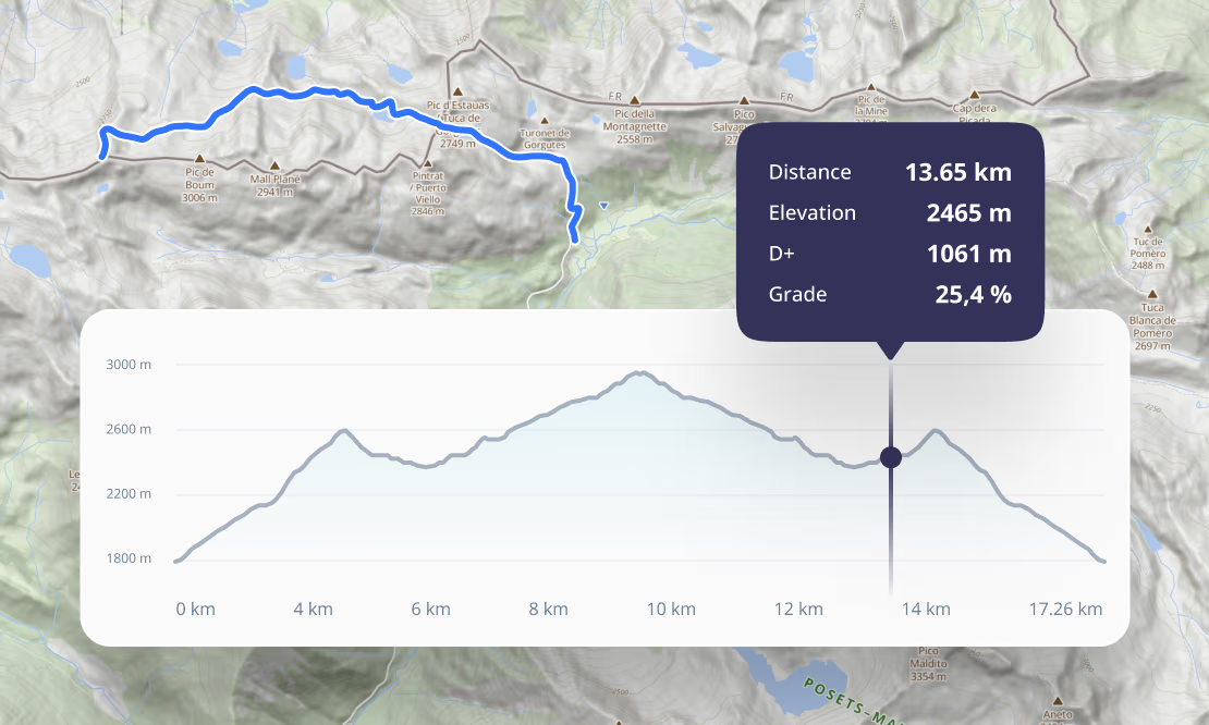
Global point queries
Instantly retrieve precise altitude for coordinates on Earth. Our optimized service ensures high-speed response times for point-based elevation queries.
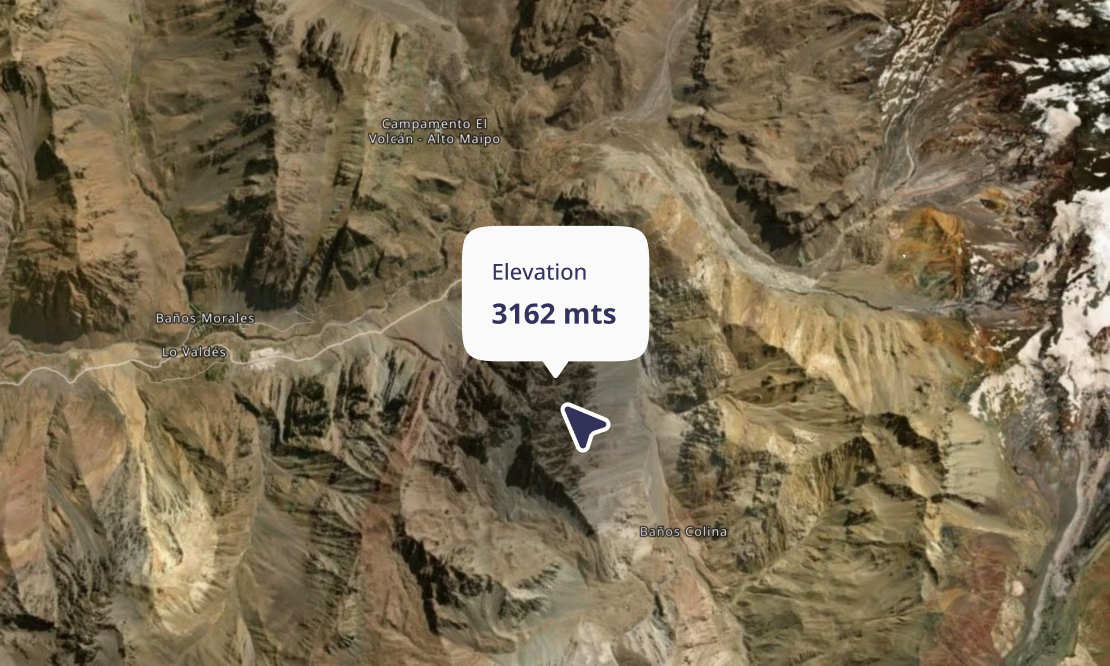
Terrain-aware intelligence
Move beyond 2D. Build applications that understand slope, aspect, and terrain clearance, enabling terrain-aware flight paths and optimized energy consumption for vehicle routing.
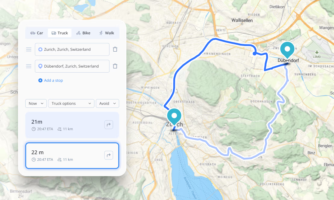

Enrich your data
Add Z-coordinates to your existing datasets. Transform flat GeoJSON or CSV points into 3D-aware spatial information with an API request.

3D realism
Give your custom layers texture. Our Elevation API allows you to align your own data with the terrain, adding realistic depth and context to map visualizations.

Precise placement
Accurately place buildings, paths, or infrastructure assets relative to the surface, ensuring they are anchored correctly to the high-resolution terrain.
Gain precise terrain insights anywhere in the world in milliseconds
Our Elevation API delivers global reach with local precision by combining high-resolution local datasets with a global terrain dataset. Powered by high-availability infrastructure, we ensure your elevation queries are answered globally in milliseconds.
Trusted by






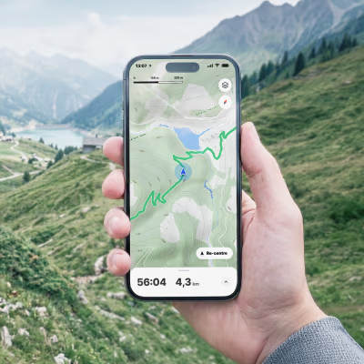
Outdoor & fitness platforms
Deliver accurate elevation profiles for routing, hiking, and cycling applications.

Logistics & fleet management
Factor in steep gradients for heavy vehicle routing, payload optimization, and accurate energy consumption calculations.

UAV & drone operations
Ensure safe flight paths and regulatory compliance by analyzing terrain clearance before takeoff.
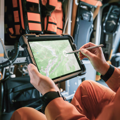
Public sector & security
High-precision DEM data for military research, relief operations, and sovereign security analysis.

PropTech & real estate
Terrain visualization and spatial analysis for land mapping and property insights.