
Defense Mapping for Air-Gapped & Denied Environments
Geospatial intelligence software for deployment of high-precision offline maps, terrain models, and custom drone imagery.
Interactive map solutions for governments
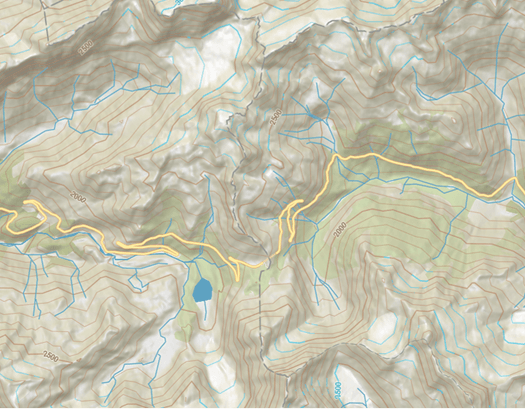
Standard Base Maps
Pre-loaded vector basemaps and terrain styles optimized for military mapping software and tactical mission planning.
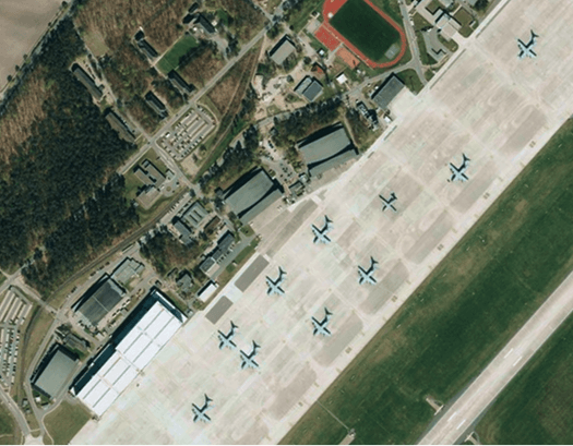
Custom orbital & aerial imagery
Process, package, and deploy your own high-res government satellite imagery, Earth Observation (EO) constellation data or raw drone captures.
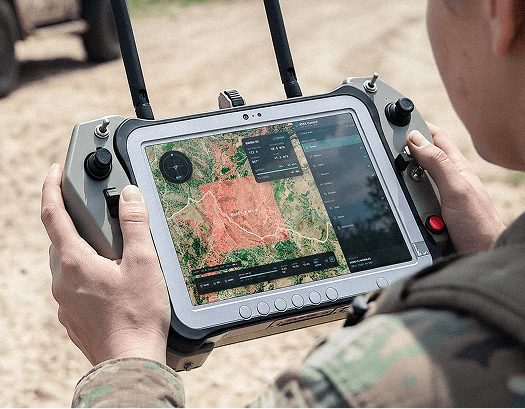
ATAK & WinTAK Native Integration
Stream offline vector tiles and maps for atak directly into handheld devices and WinTAK workstations on local mesh networks.
Offline Location & Spatial Services
Search-box UI with zero-cloud dependency for offline address lookups, geocoding, and spatial data enrichment.
Trusted by





Engineered for Tactical Edge & Air-Gapped Operations
Deploy complete, high-precision geospatial services from central command servers down to disconnected field hardware.
Every Operational Environment
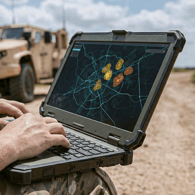
Run MapTiler Server (map server for ATAK and defense systems) anywhere: command post server racks, tactical mobile units, ruggedized field laptops, or embedded vehicle cockpits.

Zero Outbound Telemetry (True Air-Gap)
Built with zero phone-home mechanisms, external license checks, or tracking code. Your map sources and classified vector layers stay entirely within your secure network.
Plug-and-Play C4ISR Integration
Serve ATAK custom basemap options, 3D elevation, and high-resolution drone imagery natively to ATAK, WinTAK, situational awareness dashboards, and custom displays over local mesh networks.
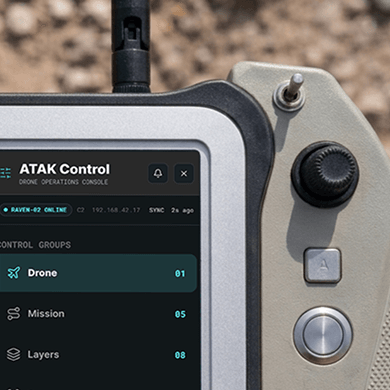
Sub-Second Performance on Edge Hardware
Lightweight architecture designed to render massive vector layers and terrain profiles under strict CPU, storage, and bandwidth constraints.
Military-Grade Cartography & Topographic Precision
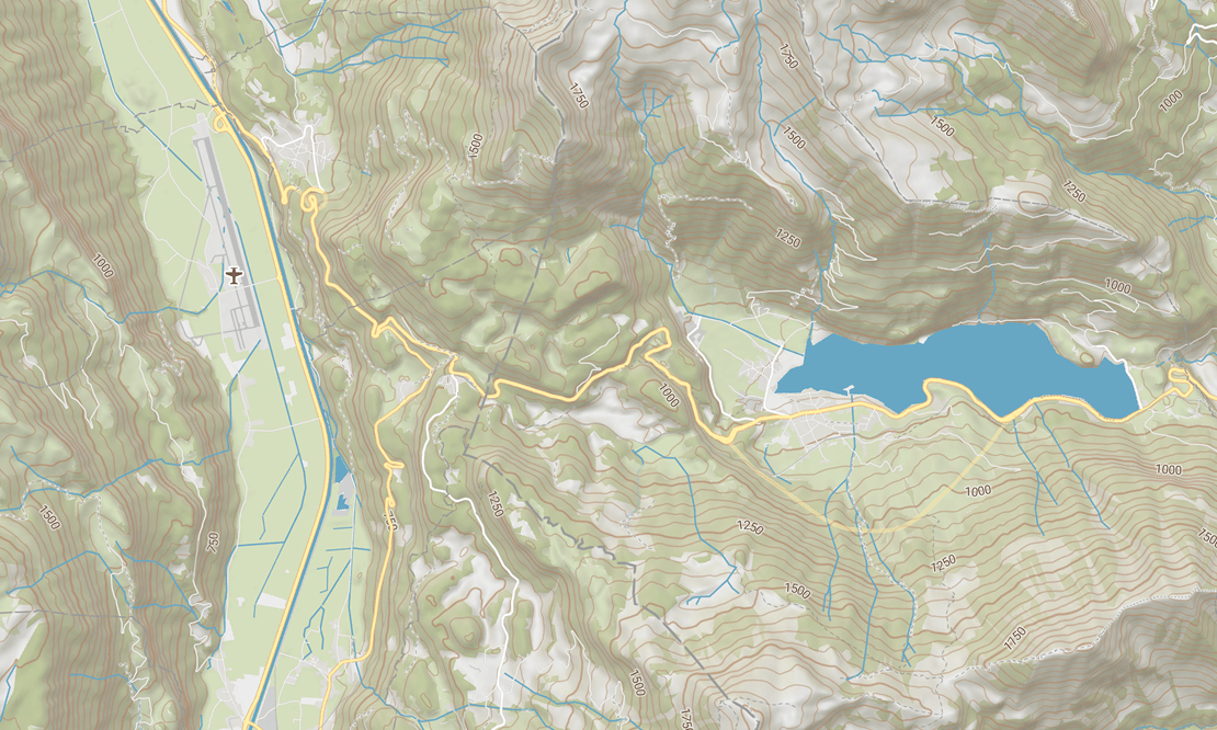
High-precision vector base maps designed for full customization. Access topographic layers with elevation contours, landcover, roads, military installations, and strategic POIs. Render dynamic disputed borders, display dual-language labels, and style map layers to match exact mission requirements.
MapTiler Server deploys as a lightweight Docker container, system service, or executable on isolated local networks, command post servers, and edge hardware. It operates completely offline with zero outbound telemetry, external dependencies, or online license validation calls. Read more: MapTiler Server Installation & Deployment Guide.
Yes, developers can evaluate and test MapTiler Server on their local machines for free prior to purchasing an enterprise license. This allows system integrators to benchmark performance, test MapLibre SDK integrations, and validate offline C4ISR workflows.
MapTiler provides a lightweight, open-standards alternative that eliminates the massive server footprint, complex database setup, and high DevOps overhead of legacy GIS suites. It focuses specifically on fast vector tile streaming, offline geocoding, and 3D terrain rendering without requiring full enterprise software packages.
Topographic vector basemaps (such as MapTiler Topo) with high-contrast terrain contours, metric/imperial elevation toggles, and labeled military perimeters are ideal for tactical situational awareness. Custom variants like Topo Dark or high-contrast styles help preserve night vision and maintain readability in command vehicles or tents. Read more: Explore Topographic Base Maps
Map data is updated by importing single-file spatial archives (MBTiles or GeoPackage) directly into MapTiler Server via physical drives or secure local file transfers. Both vector maps and offline geocoding search indexes can be updated simultaneously without ever connecting to the internet. Read more: Self-hosted maps guide
Data residency guarantees that map data physically resides within a specific geographic facility or server location. Data sovereignty goes further by ensuring the operating organization retains total, exclusive authority over all data access, routing, and governance with zero third-party tracking or vendor phone-home mechanisms.
An on-premises map server delivers sub-second vector tile streaming and offline search at a fraction of the hardware footprint and DevOps cost of full enterprise GIS platforms. It allows defense teams to serve maps and imagery directly to applications without paying for complex, unused spatial editing tools. Read more: MapTiler On-Premise Documentation
Rapidly Deploy & Evaluate MapTiler
Test our lightweight, reliable mapping engine inside your own air-gapped network or edge hardware setup without complex devops configuration.