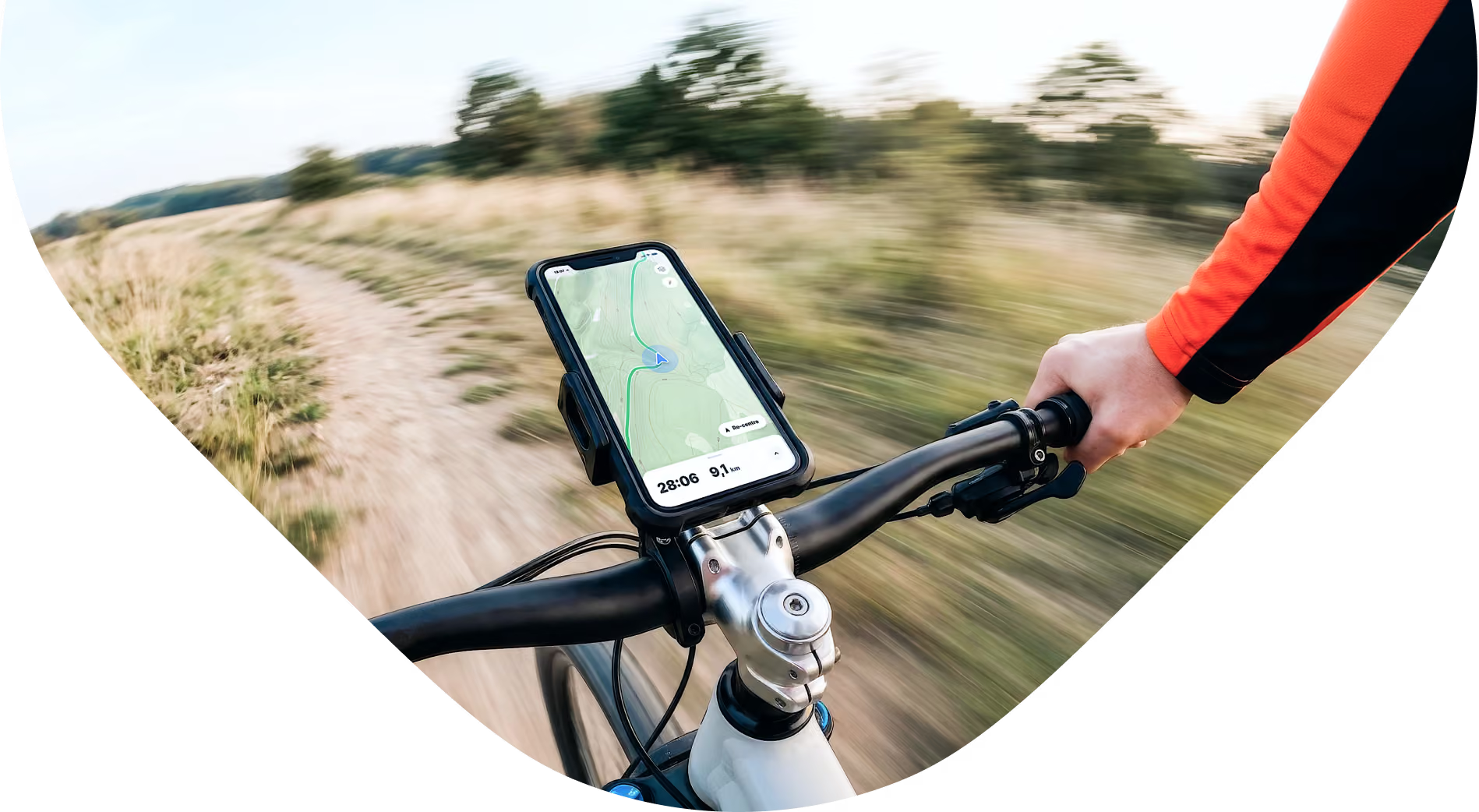
Maps for Outdoor Exploration, Sports & Tourism
Power your app with ultra-fast 3D terrain, custom vector styling, and reliable offline navigation.
The complete mapping solution for outdoor & travel apps
Photorealistic experiences with GeoSplats
Add interactive 3D Buildings and scenes to engage your users. Render photorealistic 3D models of ski chalets, mountain resorts, stadiums, trailheads, and cultural landmarks directly in the browser with no need for extra plugins.
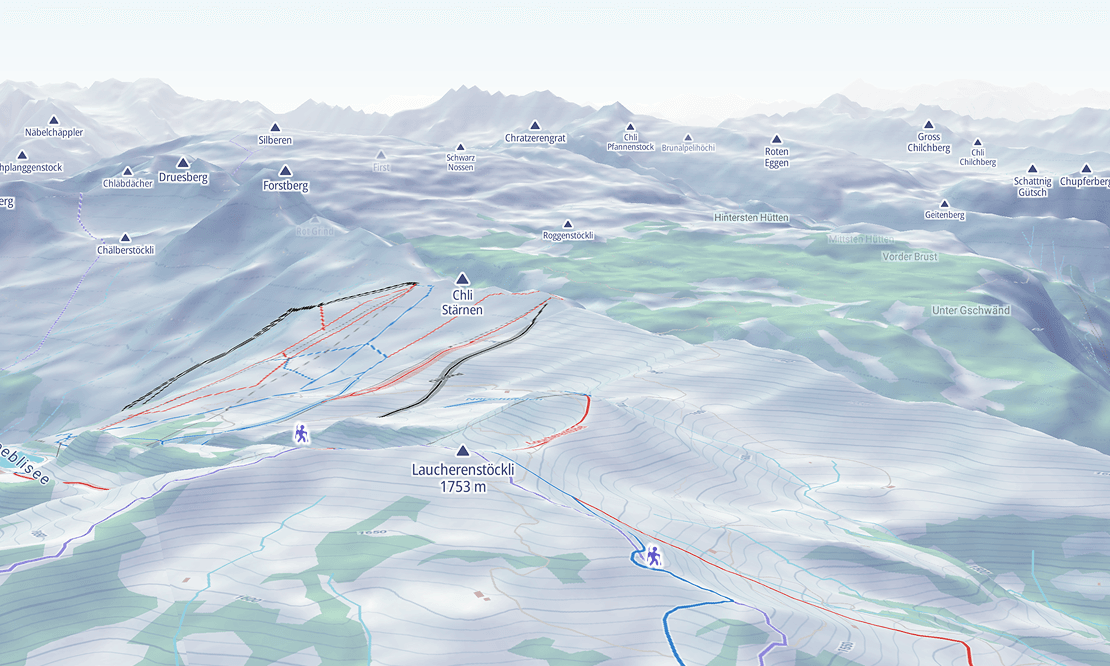
High-precision 3D terrain built for the outdoors
Power activity tracking, hiking routes, and winter sports with high-resolution Digital Elevation Models up to 5 meters resolution. Render crisp contour lines, hillshading, and marked trail difficulty ratings, with seamless switching between summer hiking and winter ski maps.
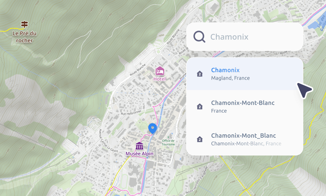
Fast place search and location intelligence
Enable instant destination search so users can find trailheads, hotels, and landmarks in your app. Convert GPS coordinates into real-world addresses, or generate static map images for booking confirmation emails and digital tickets.
Trusted by








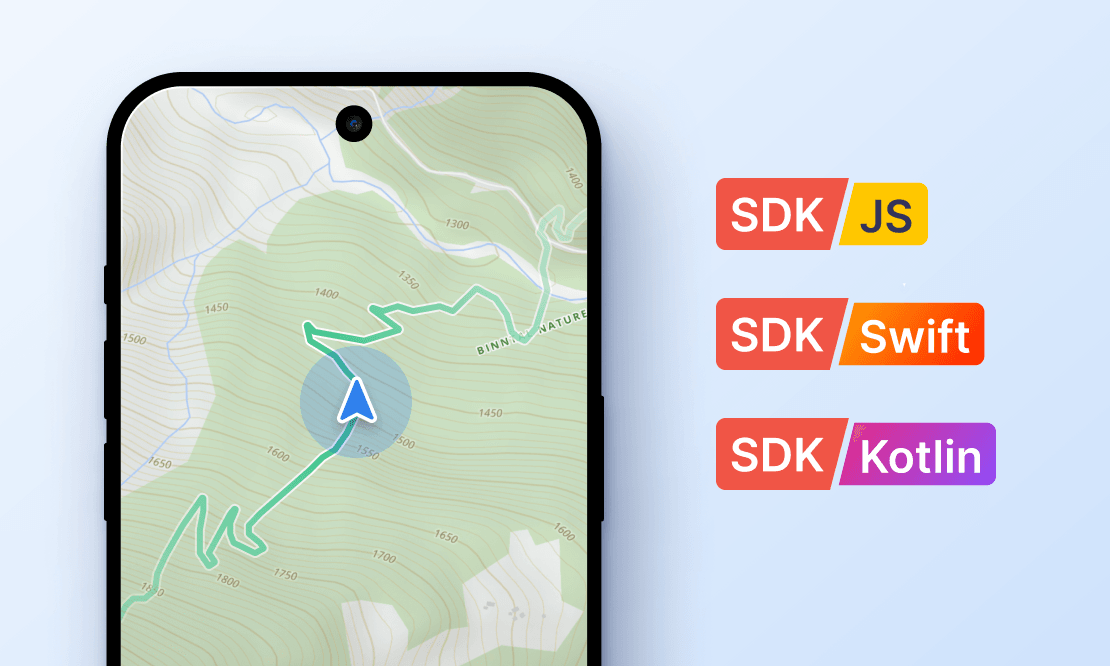
Native mobile SDKs
Deliver responsive trail maps, dynamic hillshading, and offline layers with smooth native gestures and fluid controls. Our Swift and Kotlin SDKs use familiar GL JS architecture for rapid setup and transparent, session-based billing.
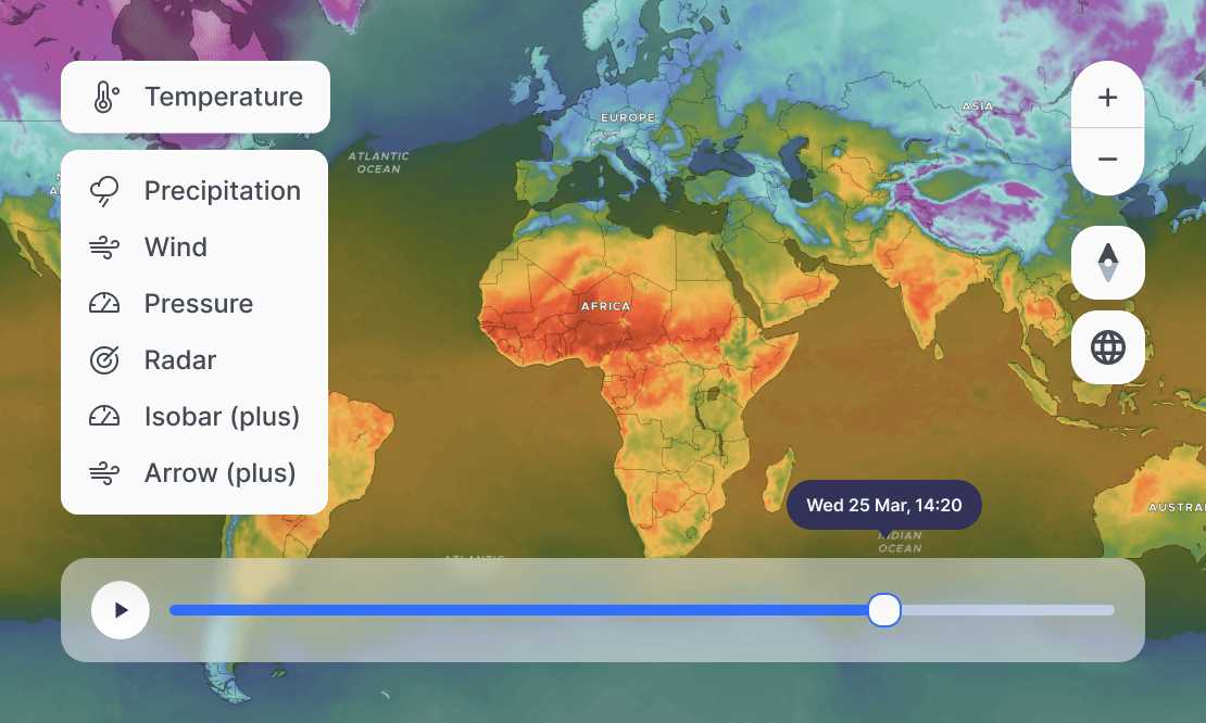
Dynamic weather layers
Stream real-time radar, wind vector flows, and temperature grids, or easily overlay your own proprietary weather and snow data.
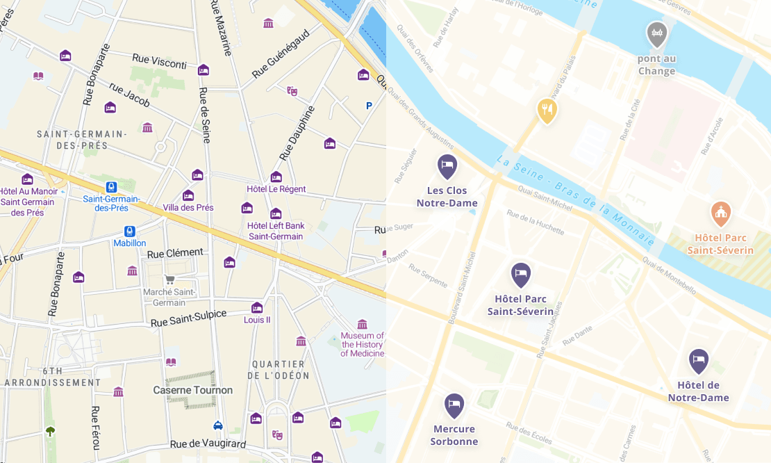
White-label maps with total brand and layer control
Eliminate visual clutter and remove competing business markers or sponsored pins from your map view. Use our Map Designer to tailor colors to your brand, highlight approved partner POIs, and automatically display labels in your user’s native language.
Start by following our simple step-by-step guide. If you already have a specific use case in mind check our library of code samples or contact our support engineers.
MapTiler offers volume-based, predictable pricing designed for scale without sudden price spikes. You get 100,000 free map views every month to prototype and test your product. To see how MapTiler compares on features, pricing models, and data privacy, explore our dedicated comparison pages for Google Maps Platform and Mapbox.
With MapTiler Customize, you have complete control over fonts, color palettes, layer visibility, and POI iconography. See what else is possible here.
MapTiler is built on open standards and provides native SDKs for Web (MapLibre), iOS (Swift), Android (Kotlin), React Native, Flutter, and Unity 3D.
Ready to build next-generation outdoor maps?
Get instant access to our outdoor maps, 3D Terrain, satellite imagery, and GeoSplats. No credit card needed.