Light mode maps for your website & apps
Light versions are available for our core map styles.
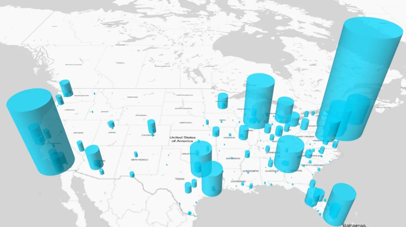
Light color variants for every usecase
Easily switch to light mode in any of our core styles.
Create data visualizations with impact without having to design the map as well.
Light mode removes the colors and lets your data stand out.
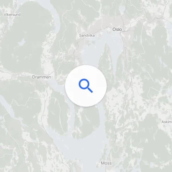
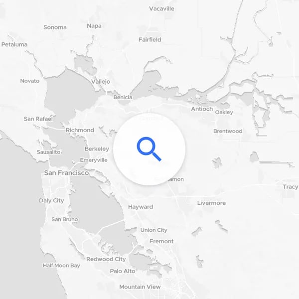
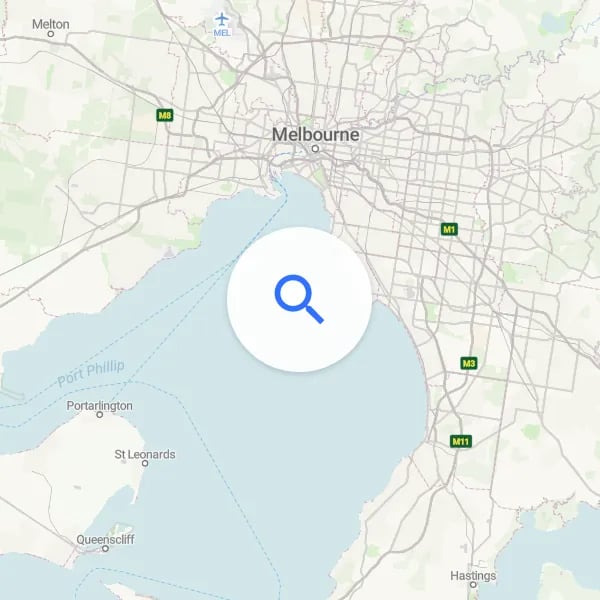
Switch between Light & Dark
- Combine dark with light or color variants to switch basemaps to suit the skin of your app.
- Create maps that change to match your user’s settings.
- Switch the variant based on ambient light, taking a regular or light style to one that won’t dazzle them.
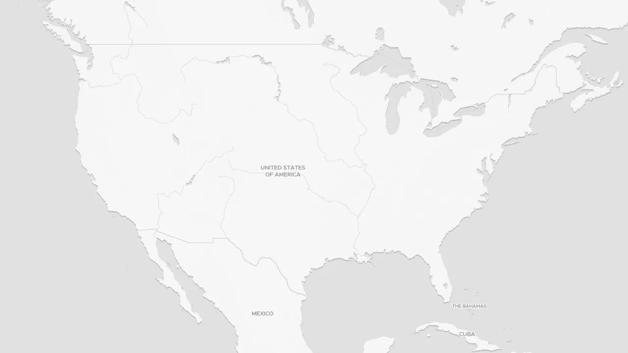
Data visualization with impact
Light maps are the ideal foundation for:
- business intelligence dashboards
- data visualizations for publication
- giving geographical context to your data
These maps are easy to use on the web, in data visualization software like Tableau and in GIS software such as ArcPro and QGIS.
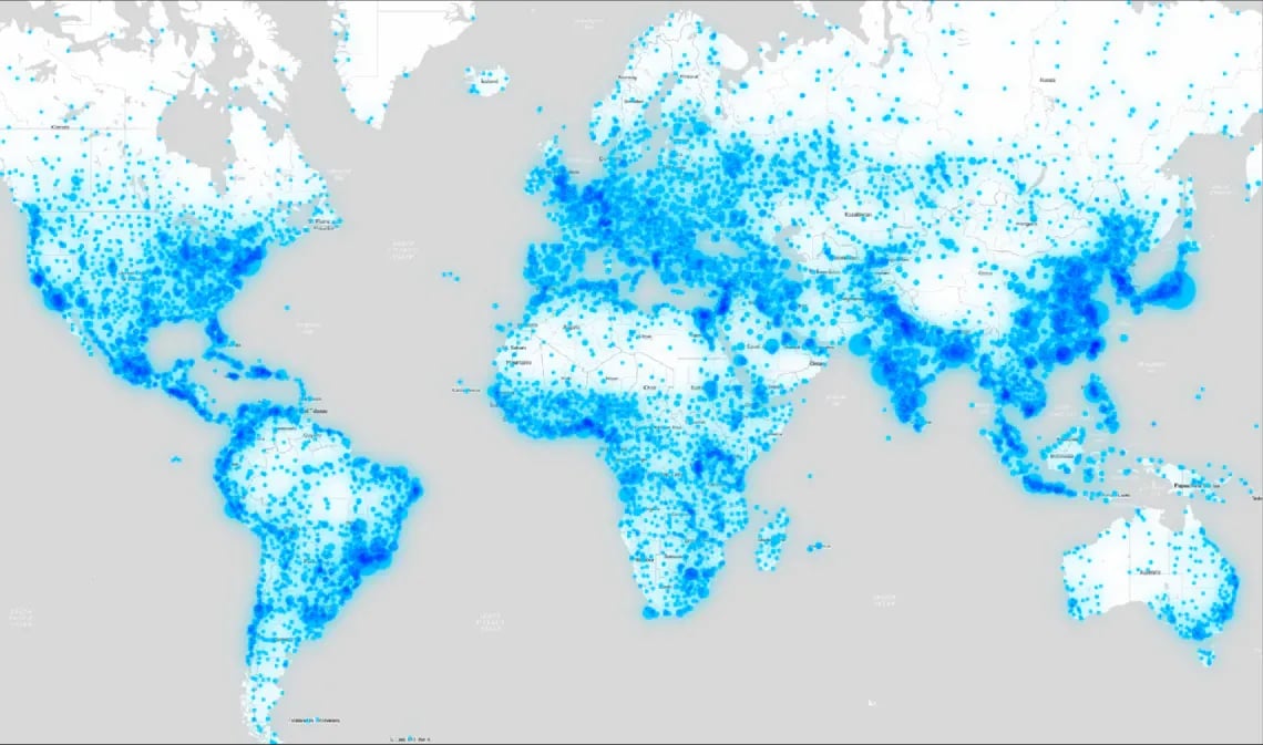
More light themes available
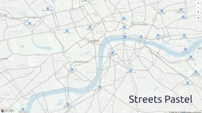
Looking for a light version of another Map Style? Light variants are available for the following map styles, as well as many of our country specific maps:
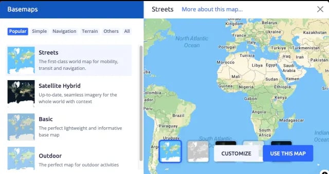
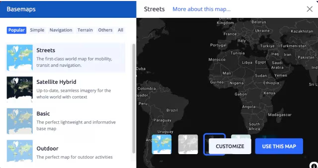
3 easy steps to get light maps
2
Select the best style for
your map
3
Choose the light or pastel,
then customize or use it
Available as:


Start using DataViz Light via Maps API
https://api.maptiler.com/maps/dataviz-v4-light/?key=YOUR-API-KEY